The Imperiia Project: a spatial history of the Russian EmpireMain MenuProjectsDashboardsData CatalogMapStoriesGalleriesGamesWho said history was boring?Teach Our ContentCiting the ProjectKelly O'Neilldc20b45f1d74122ba0d654d19961d826c5a557f5The Imperiia Project // Davis Center for Russian and Eurasian Studies, Harvard University
Bogorodsk
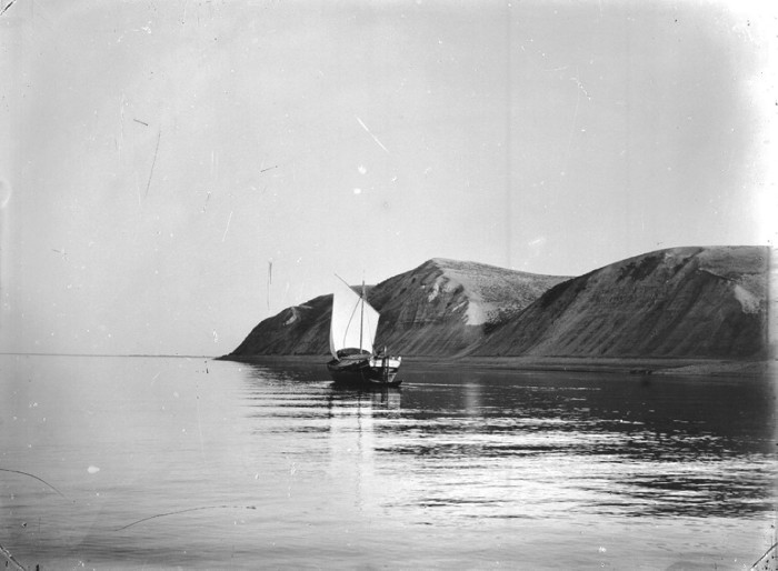
12021-01-26T13:12:39-05:00Kelly O'Neilldc20b45f1d74122ba0d654d19961d826c5a557f5911Baedeker locationplain2021-01-27T22:57:41-05:0055.204, 49.2683Kelly O'Neilldc20b45f1d74122ba0d654d19961d826c5a557f5I spent an hour in Karelin's shop in Nizhni Novgorod just a few days ago. I found this photograph. There was something about it. A memory? A premonition? A distant echo of something quiet and slow, I suppose.
This page has paths:
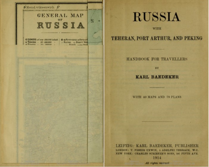
12020-11-25T14:52:30-05:00Kelly O'Neilldc20b45f1d74122ba0d654d19961d826c5a557f5Route 45. Voyage down the Volga from Tver to SuizranKelly O'Neill77Baedeker itinerarygoogle_maps2021-01-29T15:32:22-05:00Kelly O'Neilldc20b45f1d74122ba0d654d19961d826c5a557f5
This page references:
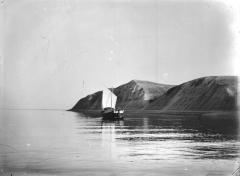
12021-01-27T17:22:45-05:00The Volga near the mouth of the Kama. Bogorodsk Hills.2This photograph was taken in 1894. It is held in the "archive of audiovisual information of Nizhegorod Oblast" and was made available through the ruinvers project.plain2021-01-27T17:33:14-05:00