The Imperiia ProjectMain MenuResearch Dashboardsmaps, visualizations, and moreVeles: The Data CatalogOngoing ProjectsThe MapMaker PodcastEvery story starts somewhere.Teach with MapsGalleriesKelly O'Neilldc20b45f1d74122ba0d654d19961d826c5a557f5The Imperiia Project // Davis Center for Russian and Eurasian Studies, Harvard University
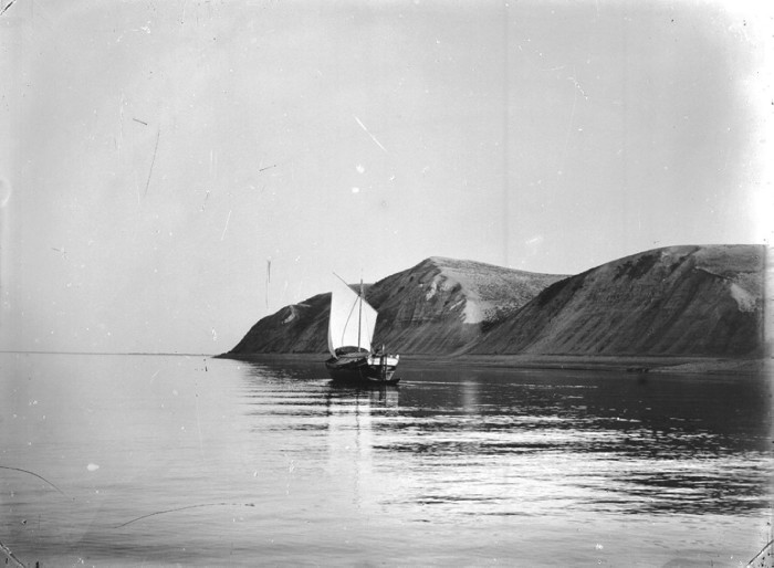
The Volga near the mouth of the Kama. Bogorodsk Hills.
12021-01-27T17:22:45-05:00Kelly O'Neilldc20b45f1d74122ba0d654d19961d826c5a557f592This photograph was taken in 1894. It is held in the "archive of audiovisual information of Nizhegorod Oblast" and was made available through the ruinvers project.plain2021-01-27T17:33:14-05:00Kelly O'Neilldc20b45f1d74122ba0d654d19961d826c5a557f5
12021-01-26T13:12:39-05:00Bogorodsk11Baedeker locationplain2021-01-27T22:57:41-05:0055.204, 49.2683I spent an hour in Karelin's shop in Nizhni Novgorod just a few days ago. I found this photograph. There was something about it. A memory? A premonition? A distant echo of something quiet and slow, I suppose.