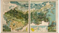
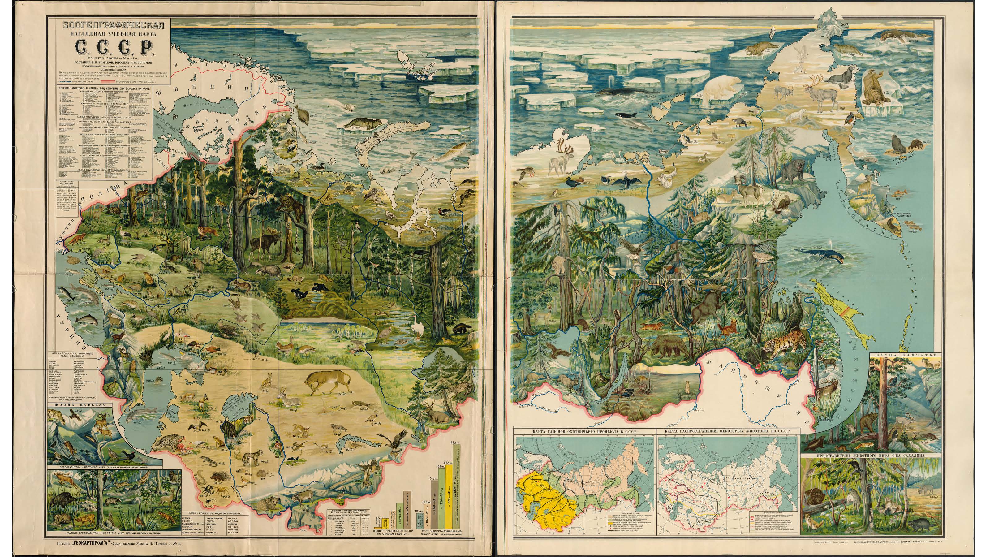
Wild Kingdom
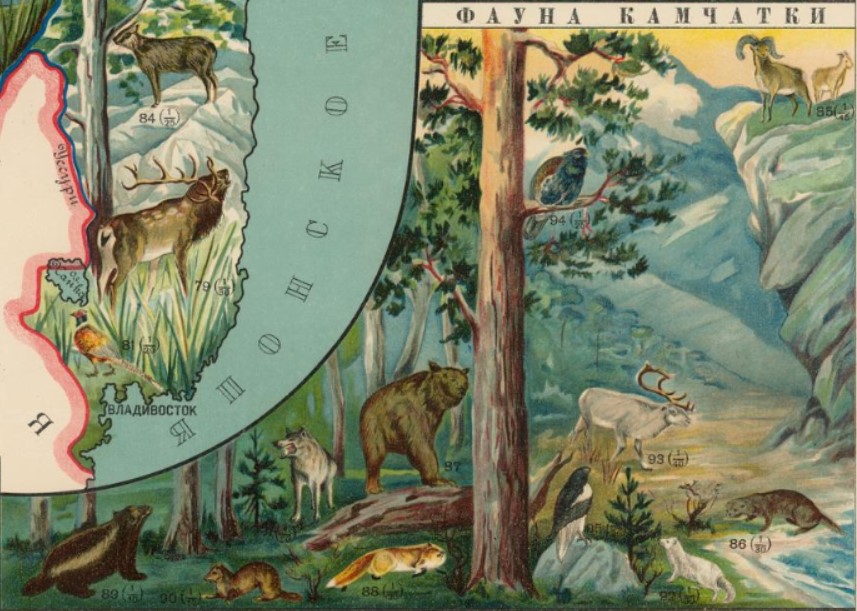
The inset maps on the right show hunting areas (the peach color marks area in which hunting is the major industry of the population) and the distribution of animals. The illustrations in the lower right show the wildlife of Kamchatka and Sakhalin.
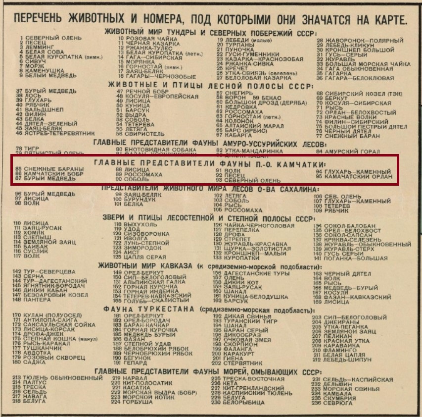
The map accompanies a brochure, but is more-or-less a self-contained unit. In the upper left is a numbered list of all of the animals depicted on the map. Each illustration is marked with a number, so that if you are unsure what the animal is based purely on the image, you can consult the list.
The animals shown in the Kamchatka inset (numbers 85 through 95) are: winter sheep, Kamchatka beaver, brown bear, fox, wolverine, sable, wolf, Arctic fox, northern deer, wood grouse, and Kamchatka eagle. Swimming along the coast of the peninsula are beluga, salmon and cod.