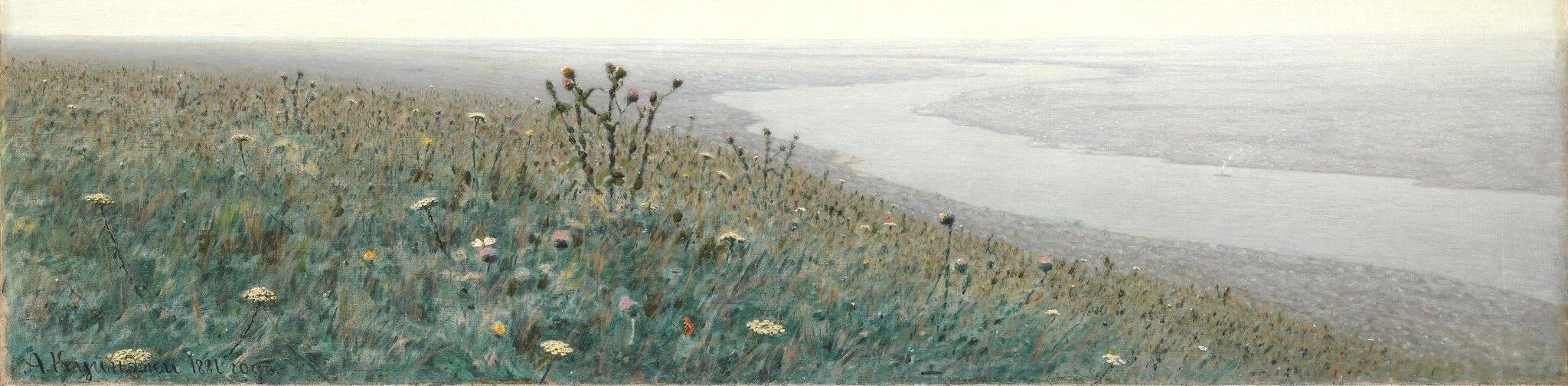
Odessa in Bloom
The Big Picture
The cost of Russia’s war against Ukraine is high, whether calculated in terms of the loss of human life, cultural heritage, or landscape. In the face of all that is being destroyed, this project will help preserve the history of the natural world of Ukraine, starting with some of the most fragile elements of the ecosystem: plants.Perhaps it is a small thing to know where the sunflowers grew around Odessa in the 1890s, but it is a powerful thing to be able to talk substantively about changes in biodiversity and the evolution of the built environment over time.
We have another motive for working with botanical registers as well. Tsarist bureaucrats described their domain - in this case southern Ukraine - in terms of provinces and districts, but naturalists and farmers saw hillsides and coastal cliffs, flooded meadows and suburban kitchen gardens. Non-state actors used rich, highly localized spatial vocabularies to describe the world around them. It isn’t easy to put those places “on the map.”
We like a good challenge. And it is worth it. Attempting to "see" historical space from the perspectives of those who inhabited it is an essential task for anyone trying to understand the past.
Botanical Data
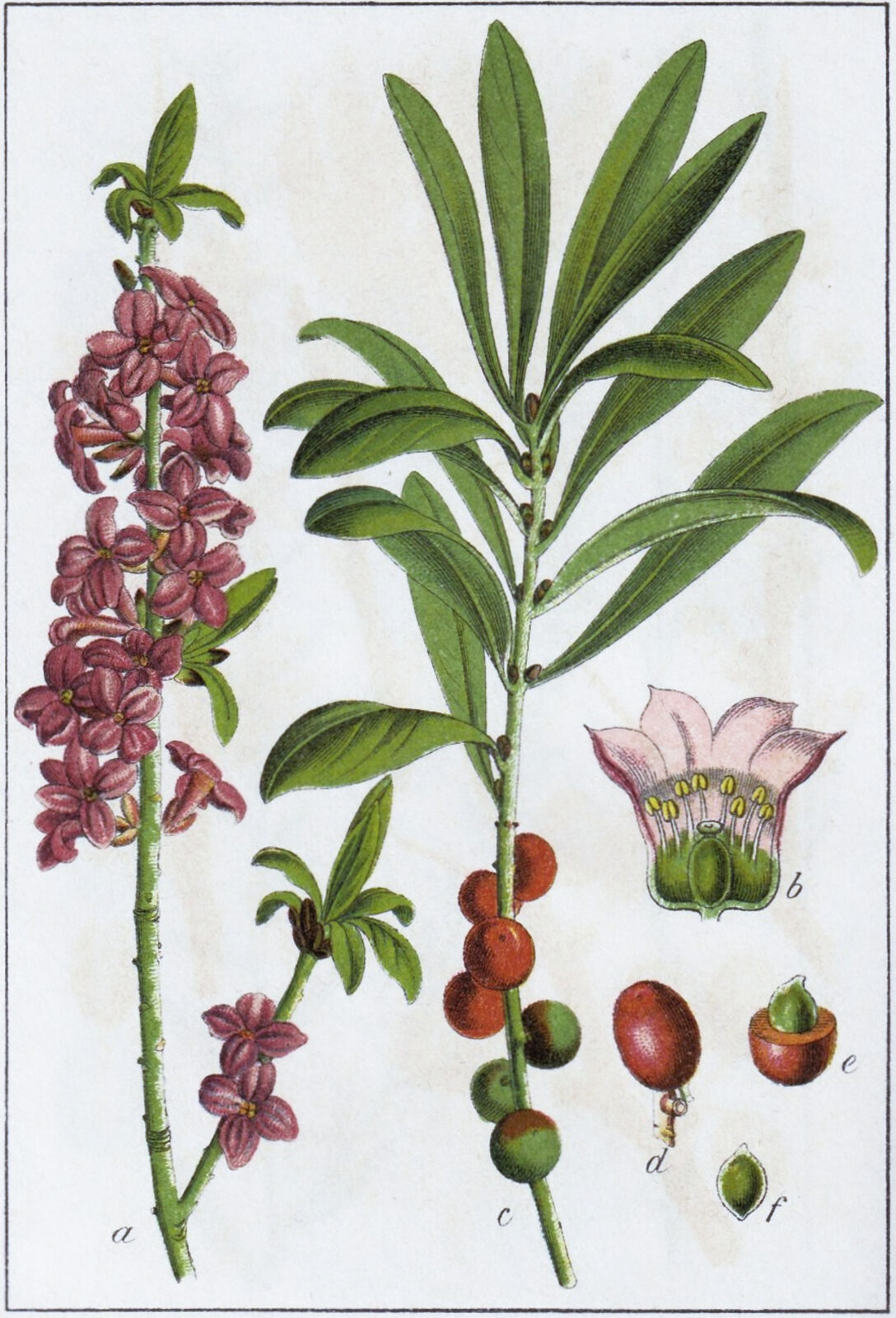
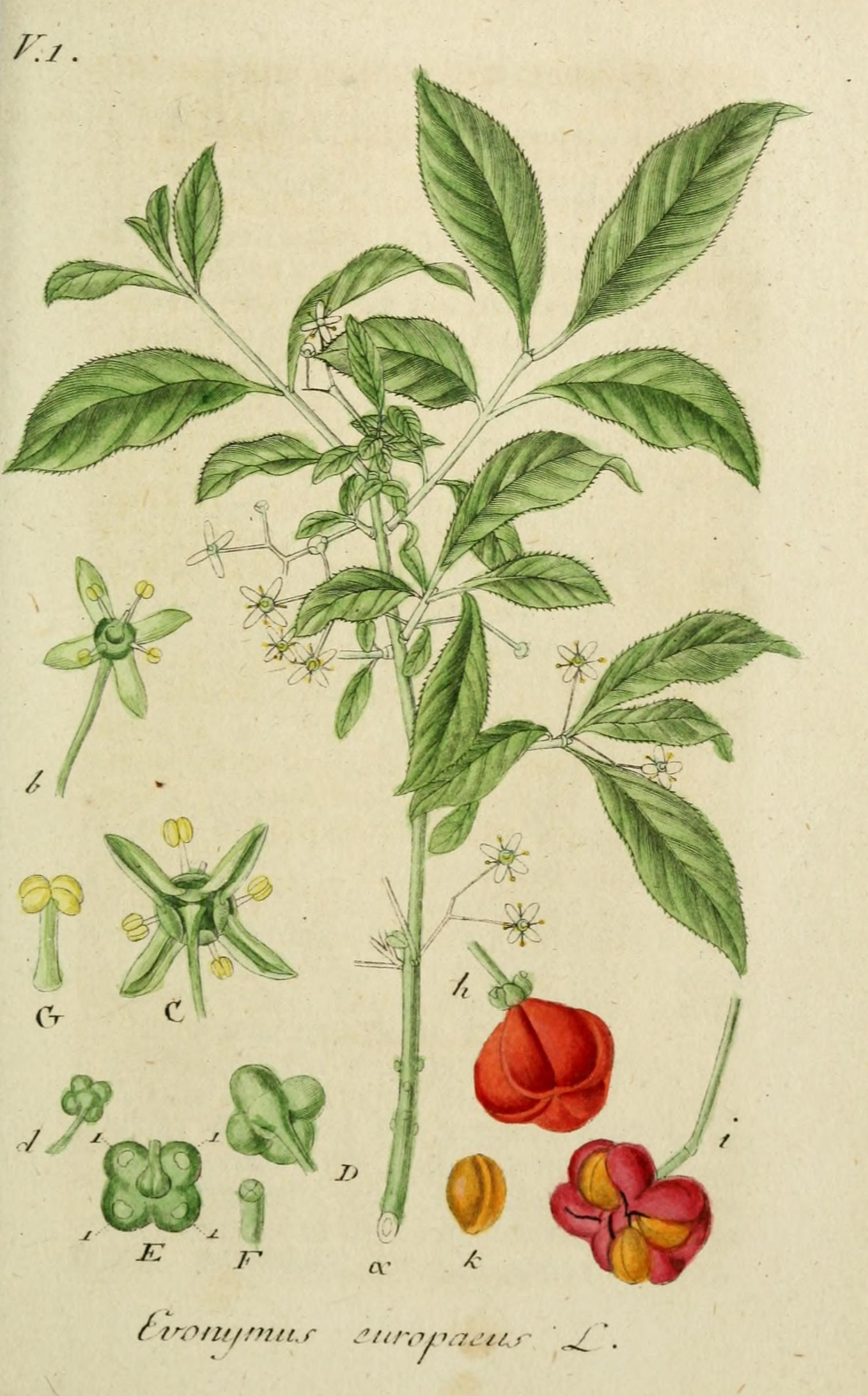
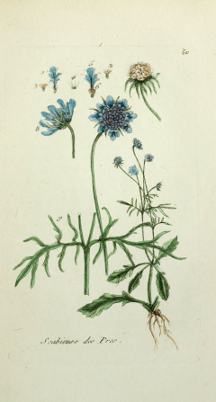
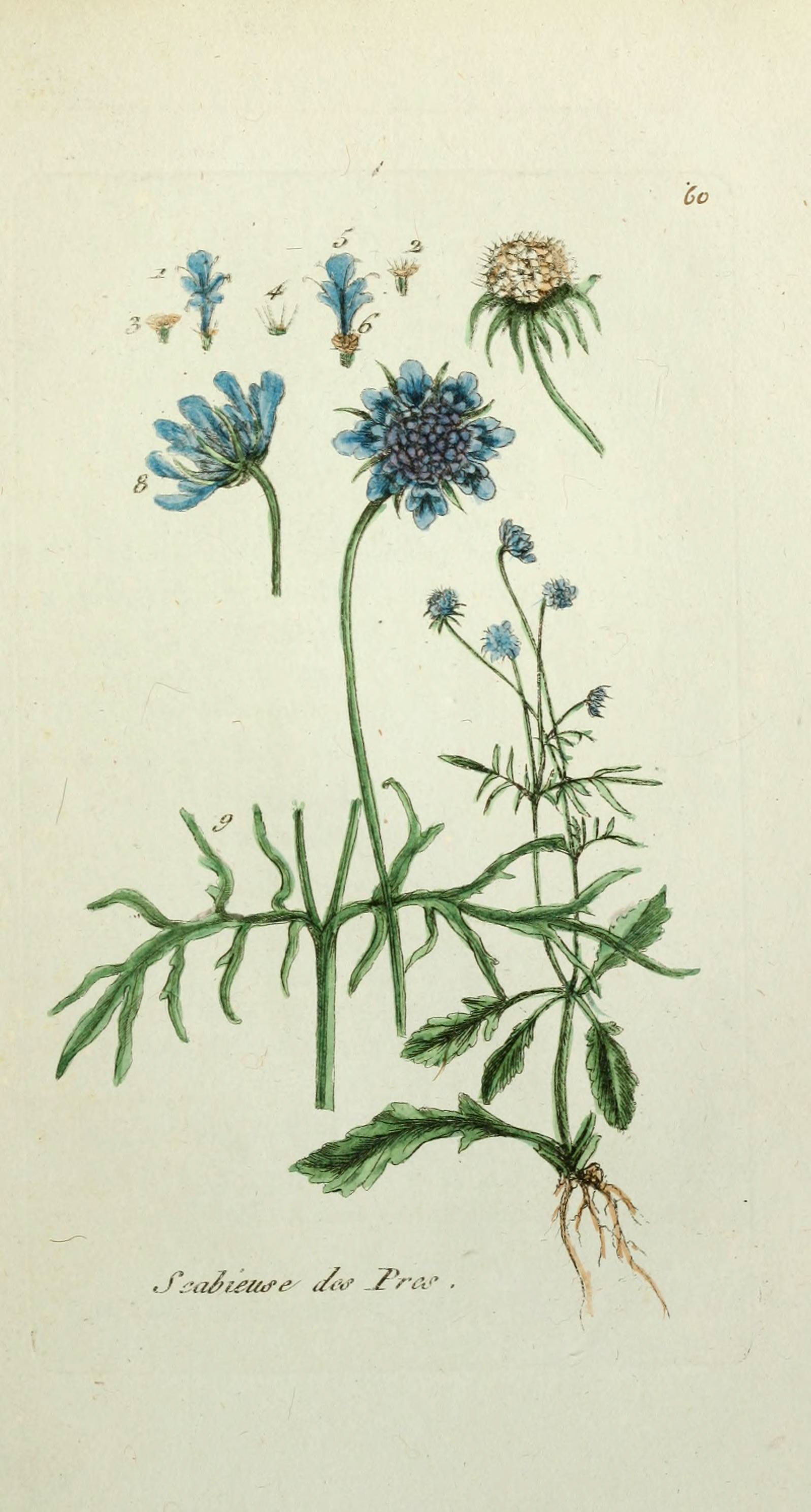
In the 19th century, botanists combed the land, intent on documenting every plant they could find, from cowbane to chokecherry. We are studying the lists they compiled and building a database that enables us to analyze distribution and prevalence. We are doing this because 1) the history of vegetation and cultivation is important in its own right, 2) plants serve as proxies for other silent actors in the environment, such as soil, insects, and wildlife, and 3) mapping plants is absurdly difficult and therefore fun.We started with a flora (a list of plant observations) published by Petro Stepanovich Shesterikov in 1894. Shesterikov (1859-1929) was a botanist and librarian of Novorossiia University, a member of the Imperial Russian Geographical Society, the Kiev Society of Naturalists, and the Novorossiia Society of Naturalists. He conducted fieldwork 1890-1891 between the banks of the Dnestr (Dniester) and Tylihul' (Tiligul’) rivers, describing his work as an effort to reveal the “geobotanical character” of the region.
Shesterikov's list has 950 entries, some of which merely state that previous botanists were wrong to claim [plant X] grew in the Odessa region. Once we pulled those out and eliminated observations of plants growing in other regions, we were left with a list of 815 species from 77 families. Shesterikov observed many species in multiple locations, giving a total of 2,813 observations.
The data allows us to ask a range of questions about the distribution and density of plant life. For example:
- How many species of the mustard family grew near Odessa in the 1890s?
- How many sunflower species could be found in local salt marshes?
- Were there any invasive plants?
- Where did the weeds tend to grow?
- Were you to travel back in time to do some hiking along quarries near the Black Sea coast, might you encounter any nightshades?
Together they open a window on the natural world at the end of the 19th century. But remember, as much as there is to "see" here, Odessa in Bloom is built around a single primary source. It draws on only one of the dozens of flora that document botanical biodiversity in southern Ukraine and the Black Sea region. It is nothing more than a (metaphorical) seed. An early bloom.
Care to take a peek?
This project was made possible thanks to funding from the Harvard Data Science Initiative and support from the Davis Center for Russian and Eurasian Studies.