Mapping Odes(s)a
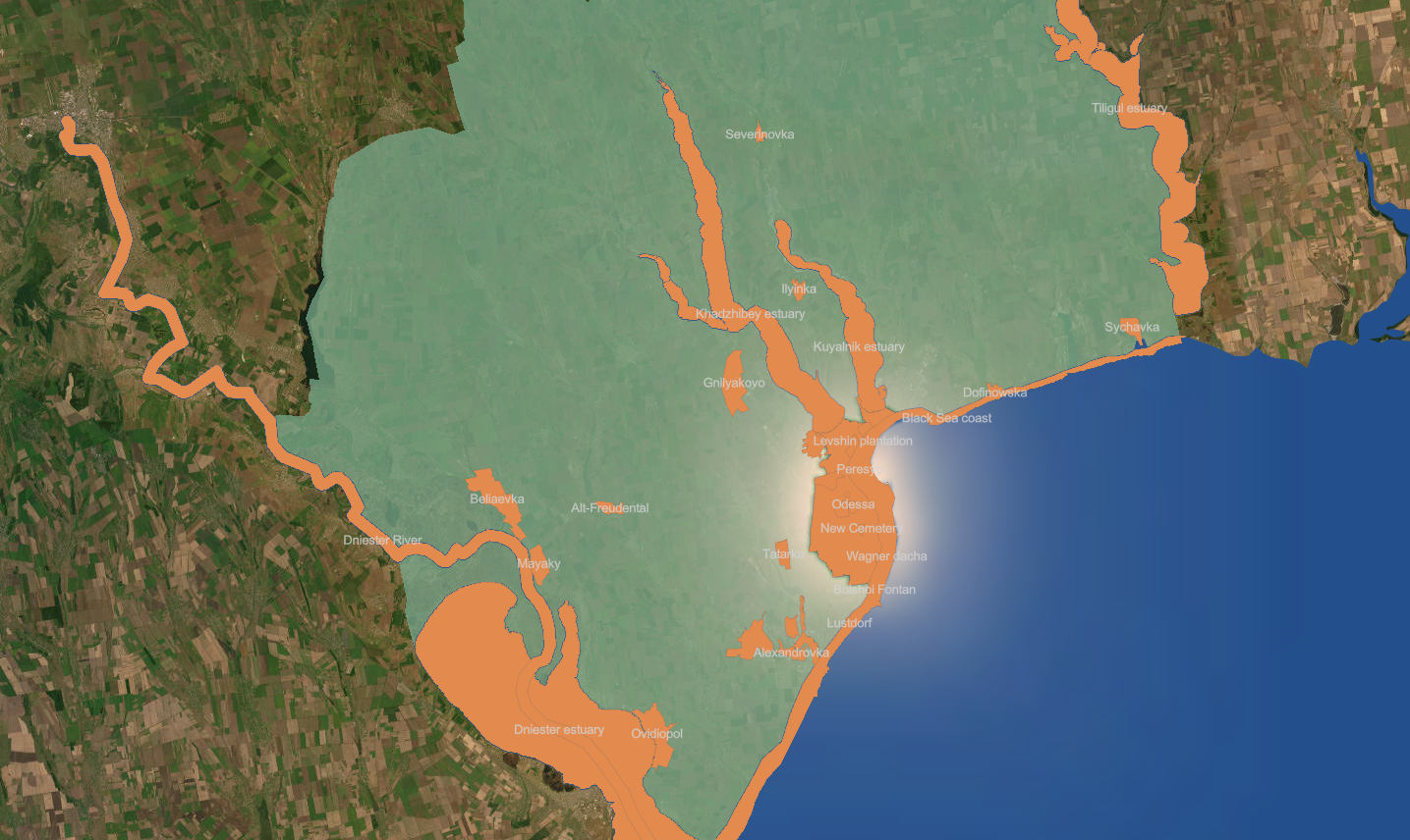
Shesterikov's research area is much smaller (see the green shape in the map above). It covers roughly 1,000 square kilometers (387 square miles). But even then, let's be realistic: that is still an enormous area and he certainly did not explore every nook and cranny. He went from site to site along roads and coastlines, documenting observations in a scattering of villages and towns, ravines and groves.
Many of the observation sites have disappeared, changed shape, or been renamed over the last hundred and thirty years. Farms have been absorbed into urban space. Marshes have been drained. Estuaries don't have stable boundaries to begin with. So we identified the sites of field research mentioned in the Flora Odessa by triangulating between the primary source, modern GIS data, and historical maps.
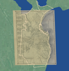
This incredibly detailed town plan of the city of Odessa (drawn by the city surveyor in 1894) was one of our anchors. It gives us not only the locations but the spatial context for many of Shesterikov's observation sites. Move your cursor across the map to reveal the annotations and zoom in to get as close as you like. Keep in mind that the boxes indicate the general area of the named site, rather than the actual area of the neighborhood/park/village. North is not at the "top" of of this map - it is on the left.
Maps can speak to one another, even if they are born in different centuries.
The 1894 plan can be georeferenced (think of this as the stitching of a historical map onto a modern basemap) with a high level of accuracy.Sharing it via online mapping platforms introduces a bit of inaccuracy, but we can still get a good sense of the space.
And we can compare similarities and differences in the ways the observation sites appear on the 1894 town plan and on a modern basemap such as OpenStreetMap. The Flora Odessa mentions 40 individual sites. There is one small farm we couldn't locate, but we were able to locate the rest.
What do we mean when we say "locate"?
After months of debate we decided to associate the plant observations with the locations that appear in OpenStreetMap (with some minor adaptations). The OSM data describes the modern world rather than historical space. That makes us a little squeamish. But this approach allows us to associate our data with data layers produced by other researchers.
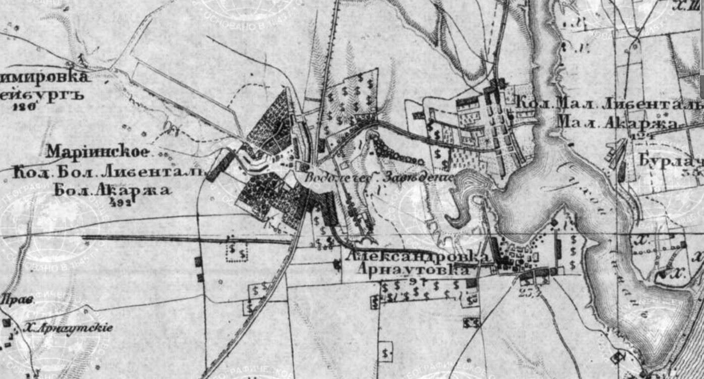
It also reminds us that the accuracy of the primary source is limited. When Shesterikov tells us he observed wild celery growing along the marshes at Gross-Libental there is only so much we can do. This detail from a late 19th century topographical survey map shows us the vineyards and orchards, but the marshy areas are difficult to isolate. Even if we were sure where they were, we wouldn't know whether Shesterikov saw wild celery growing north or south of the main road.
To make a long story short, locating plant observations recorded in the 1890s is an exercise in approximation.
Use the map below to explore the observation locations. Zoom in to reveal the town plan. Use the layer button to toggle layers on and off.