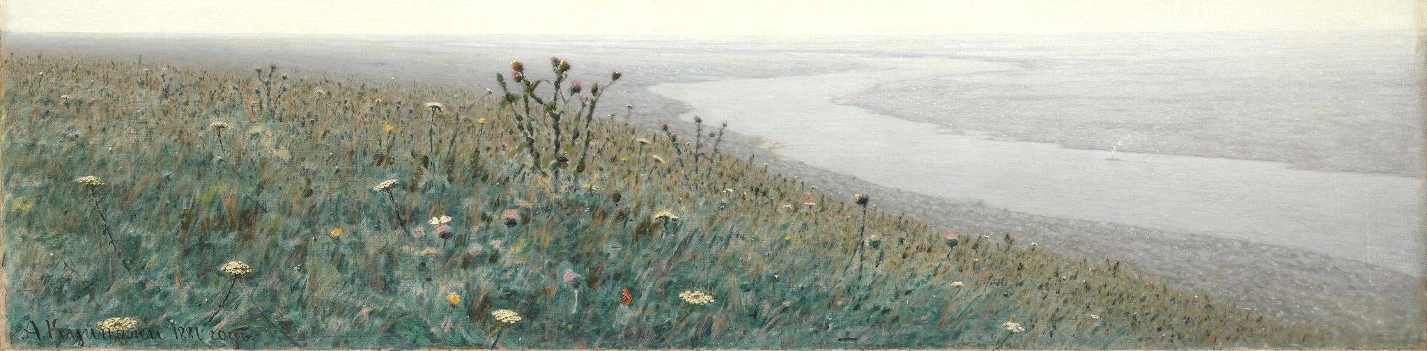
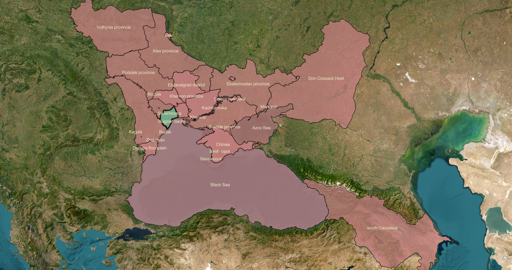
Shesterikov's Observation Sites
Shesterikov's research area covers roughly 1,000 square kilometers (377 square miles), but let's be realistic: he didn't explore every nook and crevice. He went from site to site along roads and pathways, documenting observations in a scattering of villages and towns. We identified his sites of field research, in most cases by triangulating between the flora data, modern GIS data (thank you, OpenStreetMap!), and historical maps.
This incredibly detailed town plan of the city of Odessa (drawn by the city surveyor in 1894) gives us the spatial context for many of Shesterikov's observation sites. Move your cursor across the map to reveal the annotations and zoom in to get as close as you like. Keep in mind that the boxes tell you the general area of the named village or park or neighborhood, and that you would need to rotate the map clockwise 90 degrees to correct the orientation (north is on the left).