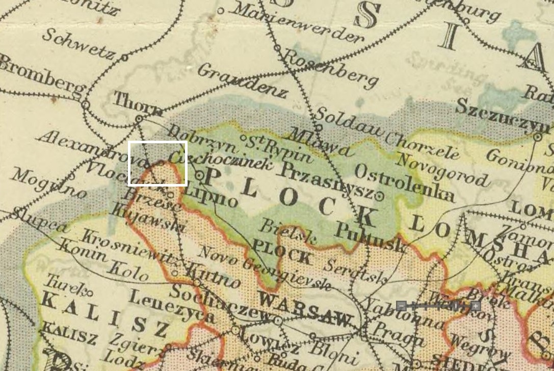
Berlin to Warsaw
Remember...
...the full tweet text is not always given on the timeline. Once you have scrolled across to get a sense of the "tweetscape" on the timeline, try clicking on the first entry and using the arrows to flip through the full entries. Most entries contain images (some of which also appear on Twitter), and many include additional details, hypertext, tags, gaming options, you name it.Use this interactive map to get a sense of the space of each itinerary. Zoom, pan, and click on a white line to see which part of the journey it marks. (The basemap is Johnston's Royal Atlas map of European Russia, 1910.)