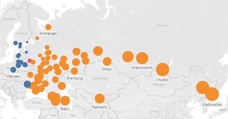
Mapped.
Actually, play with the data yourself. Because it is easier to see when you can touch. (Or do the digital equivalent of touching.)
There is only one place in the empire where spatial distance and temporal distance... how shall we put it... correspond poorly.