The Imperiia Project: a spatial history of the Russian EmpireMain MenuProjectsDashboardsData CatalogMapStoriesGalleriesGamesWho said history was boring?Teach Our ContentCiting the ProjectKelly O'Neilldc20b45f1d74122ba0d654d19961d826c5a557f5The Imperiia Project // Davis Center for Russian and Eurasian Studies, Harvard University
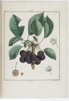
12022-07-01T19:04:50-04:00Kelly O'Neilldc20b45f1d74122ba0d654d19961d826c5a557f5Sour Cherry3Botanical illustration of the Griotte (Prunus cerasus) from Henri-Louis Duhamel Du Monceau's Traité des arbres fruitiers, vol.1 (1768).plain2022-07-07T08:18:45-04:00Kelly O'Neilldc20b45f1d74122ba0d654d19961d826c5a557f5
This page references:
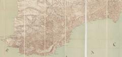
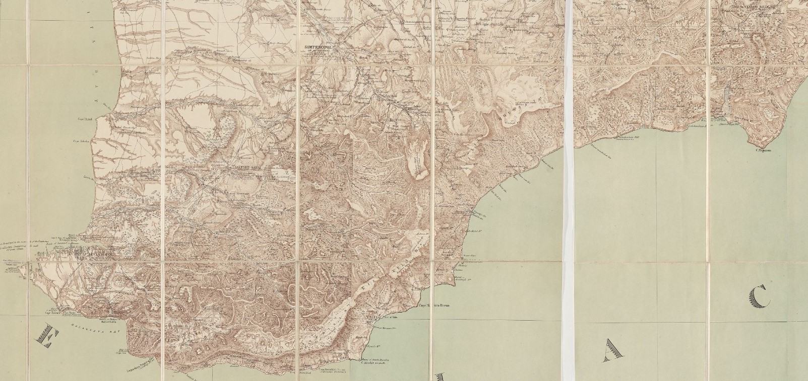
12022-07-06T15:45:28-04:00Orchard locator map3Military-topographical map by Semyon Mukhin (1817), edited and translated by Thomas Best Jervis (1855)plain2022-07-06T17:01:19-04:00courtesy of Harvard University, Harvard Map Collection
12022-07-01T19:04:50-04:00Sour Cherry3Botanical illustration of the Griotte (Prunus cerasus) from Henri-Louis Duhamel Du Monceau's Traité des arbres fruitiers, vol.1 (1768).plain2022-07-07T08:18:45-04:00