The Imperiia ProjectMain MenuResearch Dashboardsmaps, visualizations, and moreVeles: The Data CatalogOngoing ProjectsThe MapMaker PodcastEvery story starts somewhere.Teach with MapsGalleriesKelly O'Neilldc20b45f1d74122ba0d654d19961d826c5a557f5The Imperiia Project // Davis Center for Russian and Eurasian Studies, Harvard University
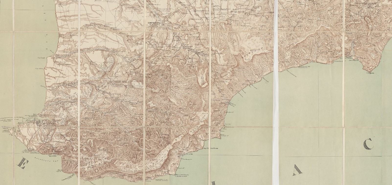
Move your cursor over the map below. White rectangles will appear showing the locations of villages with orchards containing pears.
This page has paths:
12022-06-27T12:39:13-04:00Kelly O'Neilldc20b45f1d74122ba0d654d19961d826c5a557f5Fruit Tree GlossaryKelly O'Neill134Gardens of Crimea componentstructured_gallery200122025-10-24T09:22:29-04:00Kelly O'Neilldc20b45f1d74122ba0d654d19961d826c5a557f5
12022-07-06T15:45:28-04:00Orchard locator map3Military-topographical map by Semyon Mukhin (1817), edited and translated by Thomas Best Jervis (1855)plain2022-07-06T17:01:19-04:00courtesy of Harvard University, Harvard Map Collection
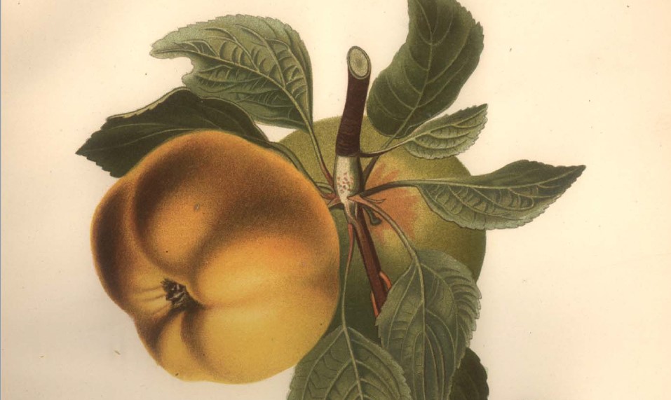
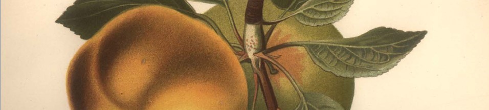
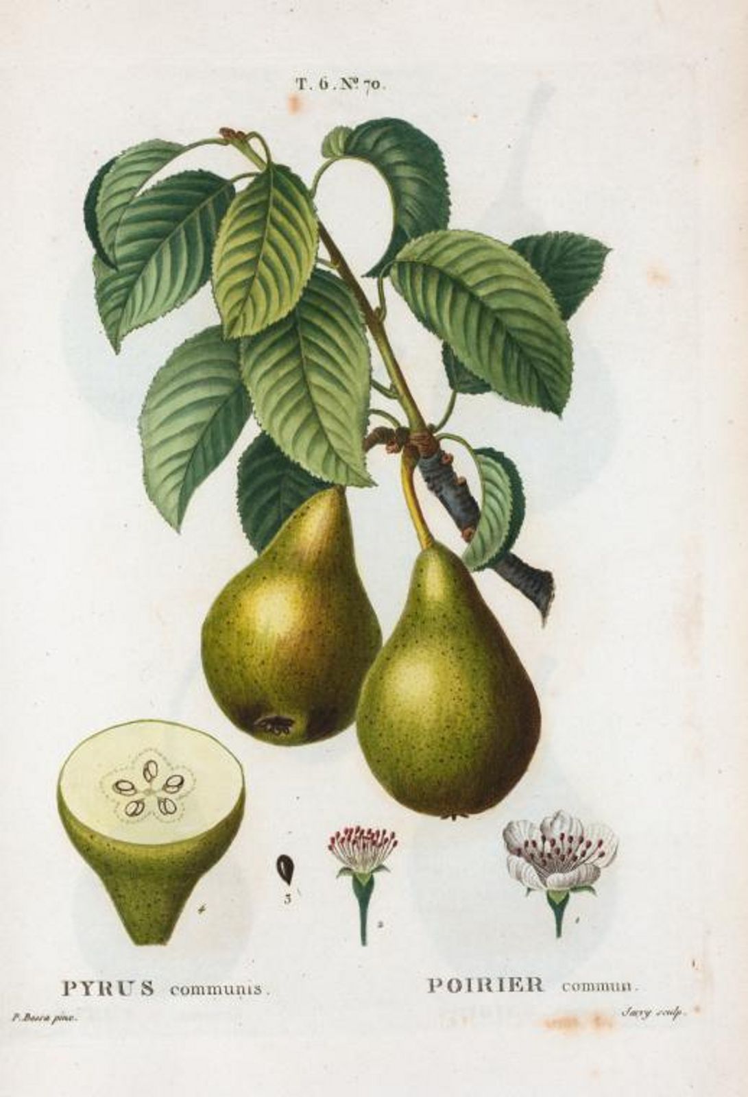
12022-07-07T10:52:43-04:00Pyrus communis [Pear]2Botanical illustration by Pierre Joseph Redouté, 1801-1819plain2022-07-07T10:55:17-04:00