The Imperiia ProjectMain MenuResearch Dashboardsmaps, visualizations, and moreVeles: The Data CatalogOngoing ProjectsThe MapMaker PodcastEvery story starts somewhere.Teach with MapsGalleriesKelly O'Neilldc20b45f1d74122ba0d654d19961d826c5a557f5The Imperiia Project // Davis Center for Russian and Eurasian Studies, Harvard University
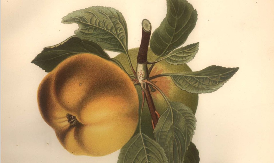
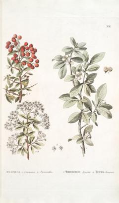
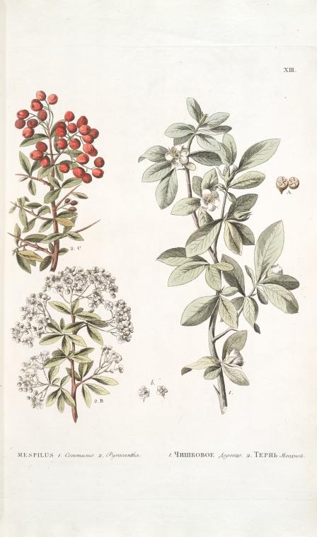
Medlar
12022-06-27T19:12:57-04:00Kelly O'Neilldc20b45f1d74122ba0d654d19961d826c5a557f598plain2022-07-07T11:58:05-04:00Kelly O'Neilldc20b45f1d74122ba0d654d19961d826c5a557f5Gardens of Crimeareconstructing fabled orchards and gardens
Prevalence in tree population: 1% (171 trees) Occurrence rate: 13%
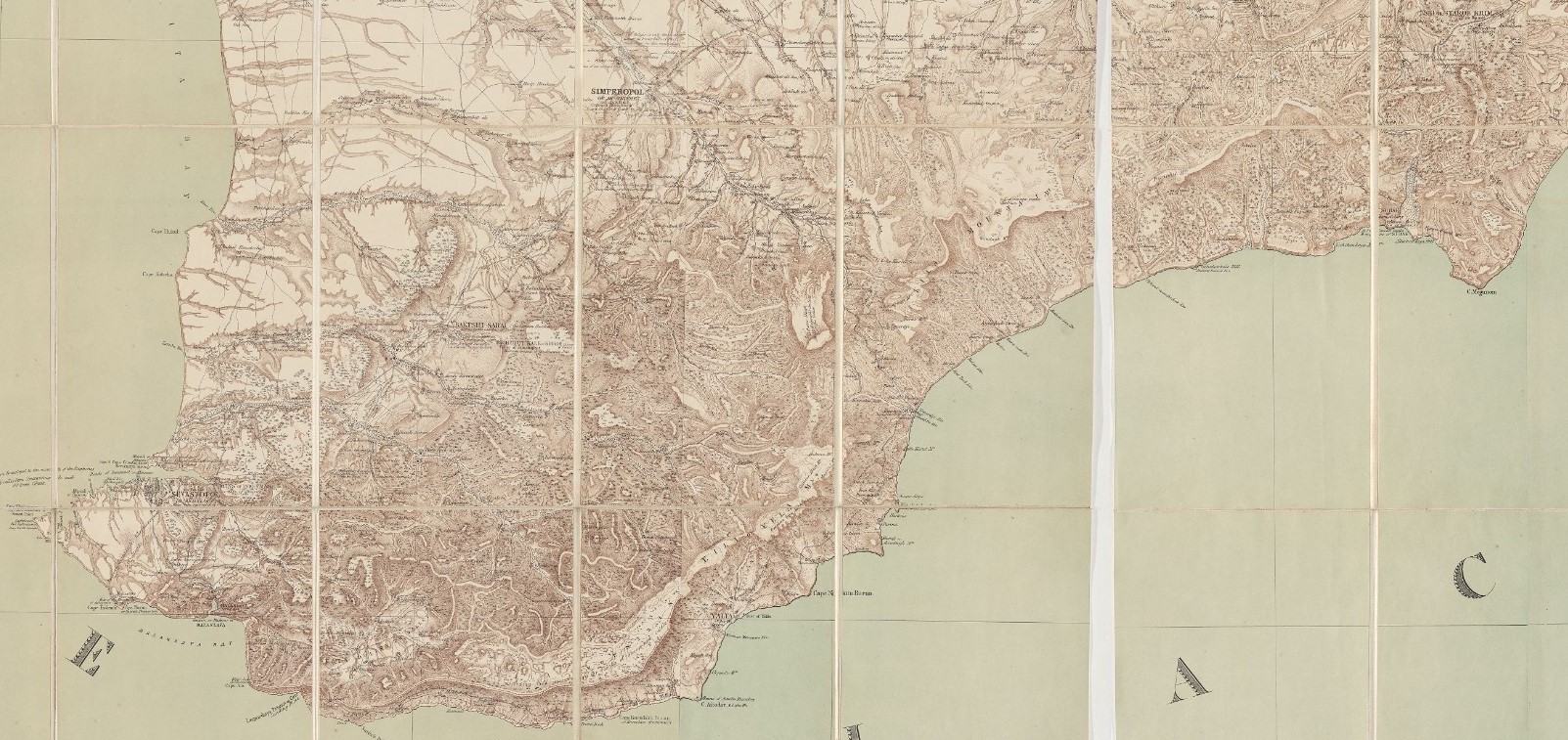
Where are the trees?
Move your cursor over the map below. White rectangles will appear showing the locations of villages with orchards containing plum trees.
This page has paths:
12022-06-27T12:39:13-04:00Kelly O'Neilldc20b45f1d74122ba0d654d19961d826c5a557f5Fruit Tree GlossaryKelly O'Neill134Gardens of Crimea componentstructured_gallery200122025-10-24T09:22:29-04:00Kelly O'Neilldc20b45f1d74122ba0d654d19961d826c5a557f5
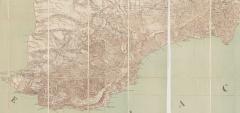
12022-07-06T15:45:28-04:00Orchard locator map3Military-topographical map by Semyon Mukhin (1817), edited and translated by Thomas Best Jervis (1855)plain2022-07-06T17:01:19-04:00courtesy of Harvard University, Harvard Map Collection