Garden Locator
Ready to turn the clock back to the early nineteenth century?
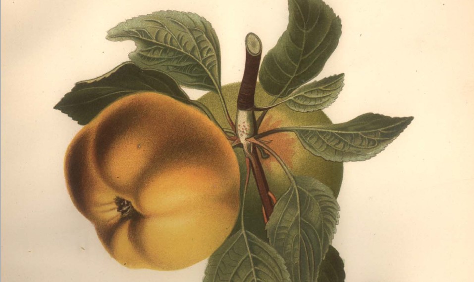
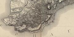
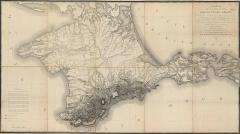
"Gardens of Crimea" highlights the 809 orchards registered as state properties in the early years of Russian imperial rule. The registers associate each orchard plot with one of eighty-nine villages, but for thirty we have data identifying tree quantities and types. Those thirty villages are highlighted in this project.In 1817 a cartographer named Semyon Mukhin working for the Military Topographical Depot of the Russian General Staff produced a ground-breaking topographical survey map of Crimea.
Newer isn't always better.
Mukhin published his map twenty-four years after the compilation of the garden registers - that is a meaningful amount of time in which all sorts of things changed. Wars, droughts, earthquakes, tragedies and triumphs of all kinds. And hundreds - maybe even thousands - of maps have been made of Crimea between 1817 and today. Nevertheless, this is the first map produced at a scale that allows us a detailed look at the peninsula's topography. It allows us to see each village in its historical context. The modern elements we are used to - roads, rail lines, boundaries, etc. - are missing: take this opportunity to retrain your eye to see space the way it was long ago.Here is a zoomed-in view of the southern coast of the peninsula. Move your cursor across the image to see the garden locations. The villages are listed below as "tagged" pages - go to any location page by clicking the placename.