Garden Locator
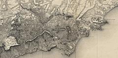
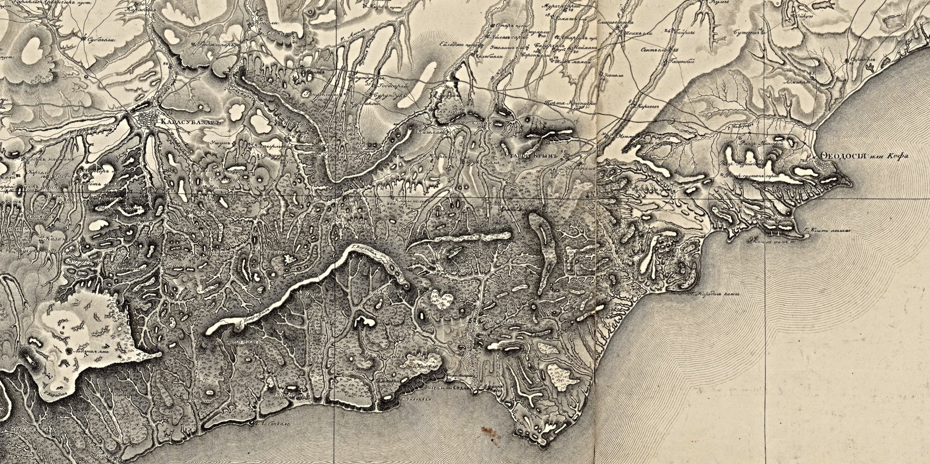
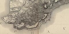
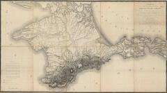
Ready to turn the clock back to the early nineteenth century? In 1817 the Military Topographical Depot of the Russian General Staff produced a ground-breaking topographical survey map of Crimea. We have cartographer Semyon Mukhin to thank for the map.
Mukhin published his map twenty-four years after the compilation of the garden registers, but this is the first map produced at a scale that allows us a detailed look at the peninsula's topography. Move your cursor across the details below to see the garden locations.