These cards were intended to teach
young boys and girls (and probably their parents) about their country.
Konstantin Gribanov, the card maker, pulled off a miracle of information design. Within the small space of the cards, he managed to embed lessons about key geographic themes - watersheds, land cover, and topography. On each card, below the inset map and to the left of the ethnographic depiction, is a rectangle containing the names of major rivers and the sea basin that dominates the region. On the flip side of each card, Gribanov referenced topographical features using labeled pictures.
But that is not all. Gribanov also managed to highlight some of the most intriguing idiosyncrasies of Russian space. Looking carefully pays off.
The cards describe the Russian Empire as a fertile and varied landscape studded with mineral springs and volcanoes: reassuringly plain and occasionally exotic.There is a list of geographic features below. But we think you will have more fun
using the tag cloud above.
Whether you click on a tag (be sure to enter full screen mode to see the full cloud) or an item in the list below, you will arrive on a landing page. Each landing page in this section is formatted (more or less) the same way and contains:
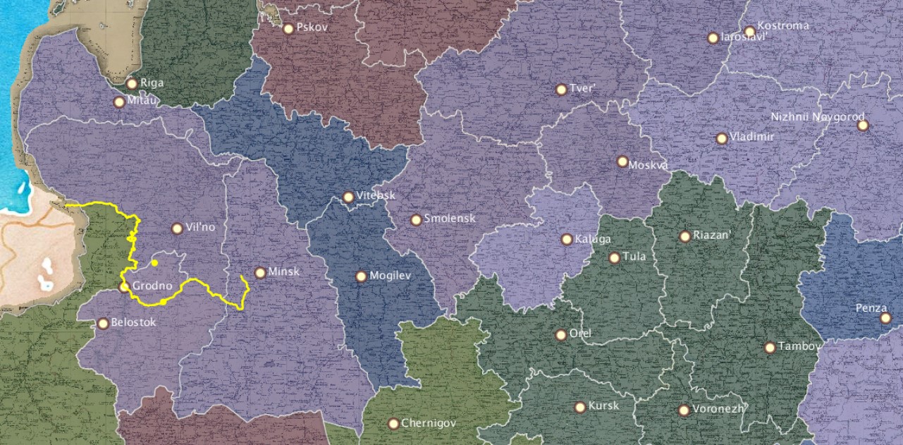
- a map showing the locations of the provincial centers of every province bearing that tag
- a representative image drawn from the cards
- a "starter question"
- a dot visualization (read up on how to use a dot viz here)
(The rivers are different. For now they are bare-boned. In time, the course of each river will be shows as it was depicted on a contemporary map. We appreciate your patience.)