The Imperiia Project: a spatial history of the Russian Empire

mountains

What does the map above tell you?

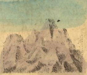
Mountains are not the signature feature of the Russian landscape. However. If when we say "Russian" we have the entire empire in mind (as we almost always do at Imperiia) rather than something more like the Russian Federation... it is a different story. Several remarkable ranges - wholly or in part - fell within the boundaries of the empire, including the Carpathians, the Caucasus, and the Eastern Range of Kamchatka (home to the highest volcanic peak in the northern hemisphere). 

Starter Question:

Charmingly (or comically, depending on your mood), the playing cards also make note of a number of... eh-hem... glorified hills. It won't take too much sleuthing to distinguish one kind of "mountainous" province from the other. Try resting your cursor on the "Map" button above (next to "Satellite" and toggling on "Terrain". Zooming will be a much more productive experience. Or, try inspecting the pictures of the mountains and ridges in the playing cards listed here. You might come close to being able to arrange them in order of least grand to grand!

This page has tags:

Contents of this tag:

This page references: