Galleries
Not everything can be the glorious thing that is a map.
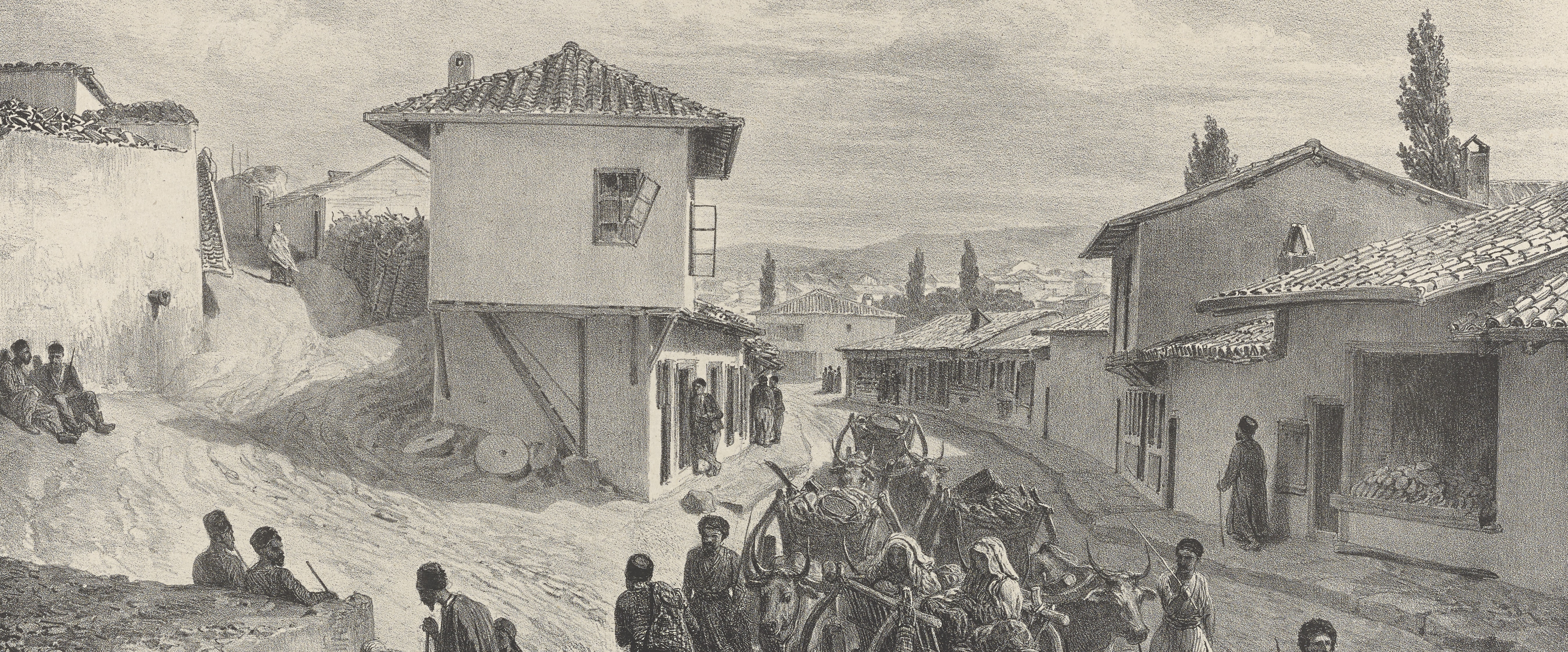
... Having made (a reluctant) peace with that fact, we are assembling galleries of images that we feel illustrate the look and feel of the Russian Empire. We hope these galleries will allow you to study the relationships between the natural and built environments, between humans and the places we inhabit, and between imperial space as it was and imperial space as it was interpreted by artists, scientists, governors, and farmers.
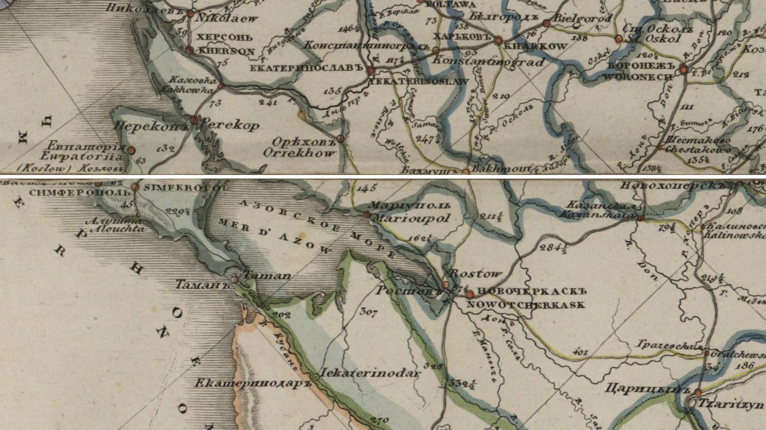
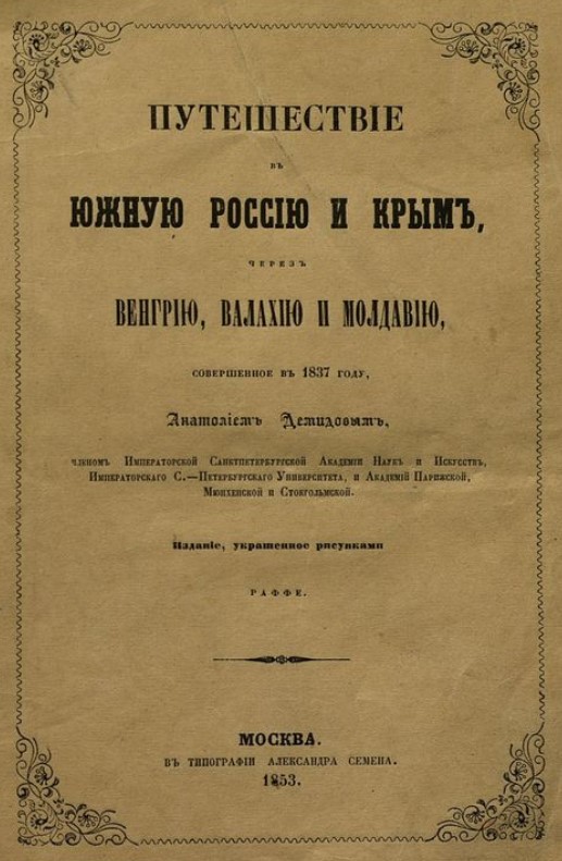
In our galleries you will find collections of maps and plans and paintings and playing cards and all sorts of other things that were either produced as a set or address a specific theme.
Here is what you need to know:
- Many of the images have annotations. In other words, you will be able to click on parts of the image and read a short text that either explains what you are looking at or prompts you to think about an interesting element of the cartography, geography, or history represented.
- In the galleries, we do not develop narratives or through lines. The images are arranged in a sequence, but you do not need to follow it. Each image is treated as an individual object. You are welcome to move from one image to the next, much as you would do were you walking around a gallery in a museum.
- In some cases, the contents of a gallery are repurposed to create another kind of mapstory, so keep an eye out!