A Princely Playboy in Crimea
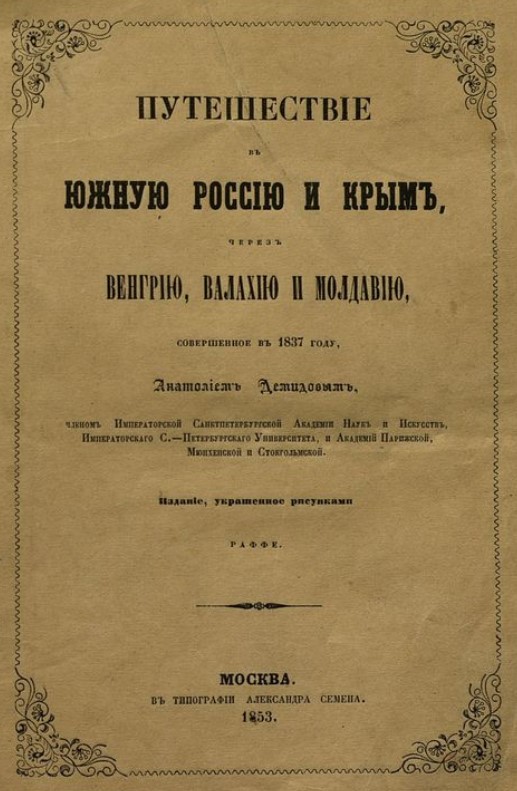
In 1837, Demidov organized a scientific expedition to southern Russia and Crimea. He spared no expense, and enjoyed a handsome return on his investment. He published his own travel account in 1837. The voyage album came out in 1838, with 100 lithographs by Denis Auguste Marie Raffet. The full publication appeared two years later.
This gallery contains fifteen of the illustrations from the Album du Voyage dans la Russie méridionale et la Crimée, par la Hongrie, La Valachie et la Moldavie, ed. Ernest Bourdin (Paris, 1838). They appear courtesy of the Anne S. K. Brown Military Collection, Brown University Library. For the album citation information, click here. The Library of Congress has made a digital version of the full publication accessible. Click here to page through the contents. If you read Russian you can access the full text of Demidov's travel account here.
These fifteen images are worth at least 15,000 words. The stories they tell are not of princes and delicious courtly scandal, however. Instead, they tell stories of nameless peasants and ramshackle landscapes and quiet moments in the shadows. They are steeped in romanticism, to be sure. Yet they communicate something that feels a bit more... true.. about what it meant to inhabit Crimea in the early 19th century.
(For those of you keeping track, Demidov and his merry men - scholars and writers and artists - produced these images just as Colonel Betev was getting to work on his topographical map.)
Shall we start with a slideshow of the plates, in publication order?
Cartographically inclined? Move through the gallery by clicking on the placemarks below (note: the placemarks are spaced around the modern locations of the named towns - they do not indicate specific locations).