This page was created by Yipeng Zhou. The last update was by Paul Vadan.
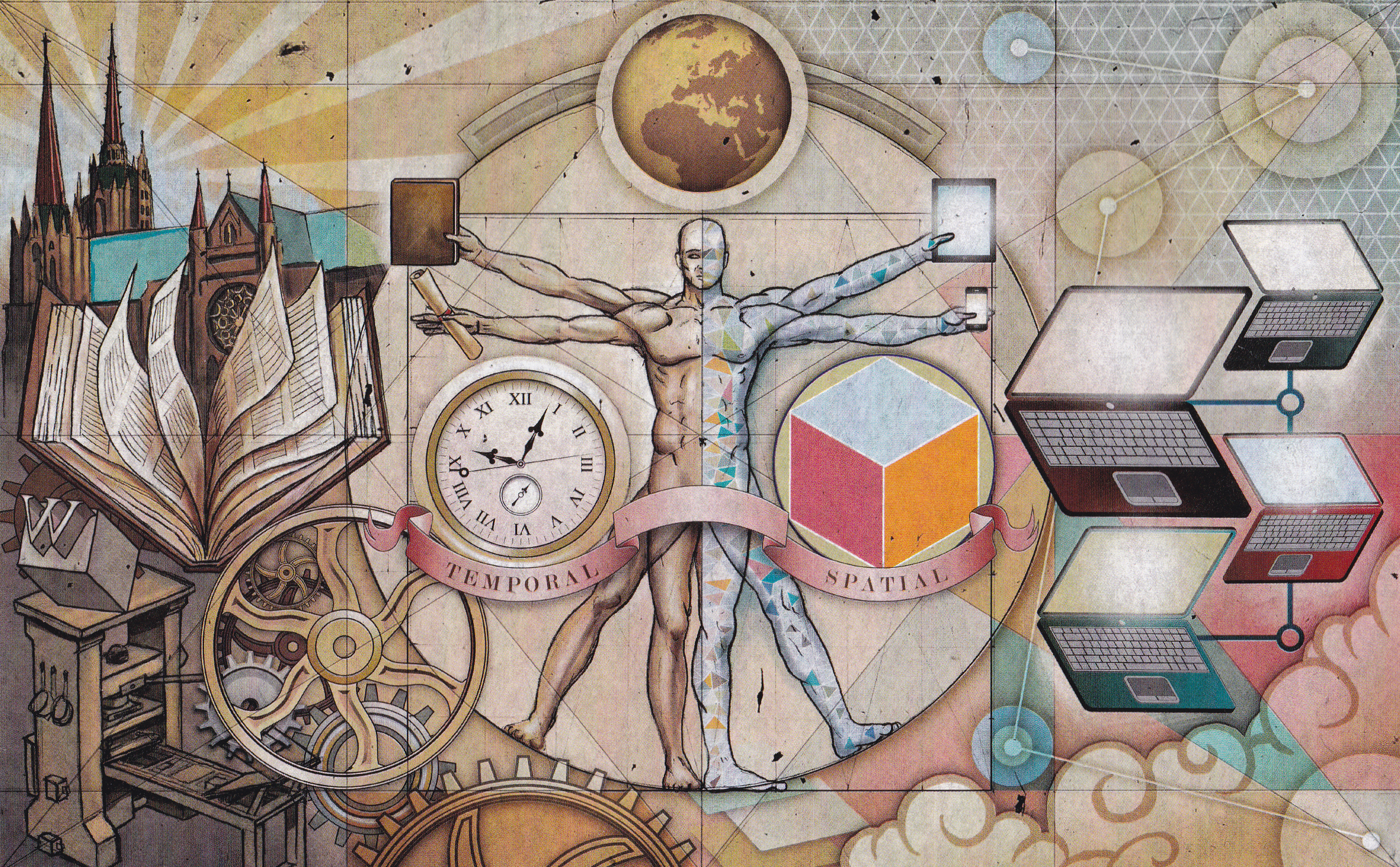
TopoS
The Military-Topographic Survey of European Russia (MTSER) was tsarist in content but utterly trans-imperial in form. The middle of the nineteenth century was the golden age of topographic mapping, with grand projects conducted by the British, the French, and the Americans. In fact, as the nineteenth century progressed it became clear that the world could be divided into states that could, and states that could not demonstrate their mastery of space by producing large scale maps. Topographic surveys could make or break an empire's reputation.
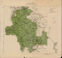
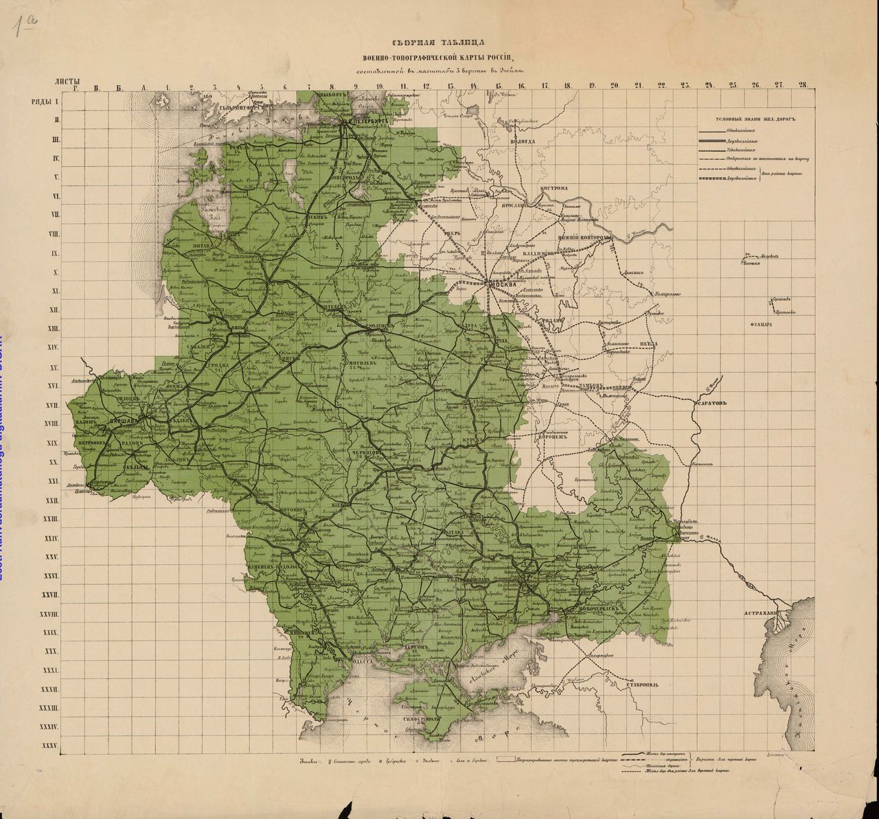
The MTSER, one of many mapping projects pursued in the late imperial period, produced thousands of maps. The maps are arranged on a grid, executed at a scale of 1:126,000, and share the same cartography. It is possible to stitch them together into a mosaic - a master map - that will allow us to visualize all kinds of historical information.
But it isn't easy.
That is why this map series makes an excellent starting point for a long-term project that fuses historical expertise with technological innovation. Computers cannot read maps; meanwhile, the human brain can't process thousands of maps at once. So why not deploy machine learning methods to bridge the gap?
The payoff is exciting. Can you imagine knowing where all the forests were 150 years ago? Or seeing the systems of mills and bridges that connected factories and fields to markets from St. Petersburg to Odessa? Understanding the empire's spatial structure is as important as understanding its political and social hierarchies, ethnographic composition, cultural or economic capacity. The goal of the TopoS project is to help us all "see" imperial space and, as a result, better understand its history.
At a Glance
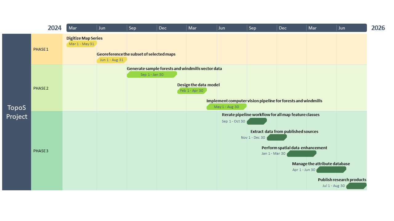
The timeline of the project consists of three phases, each with its own scholarly questions and technical challenges.Phase 1 consists of producing high-resolution image files of the entire map series by the Mapp Division at the Library of Congress, while the Imperiia team completes a comprehensive catalog of the map sheets.
In Phase 2, Harvard’s Arts and Humanities Research Computing Group will assist with testing and implementing a cutting-edge computer vision pipeline that will train computers to "read" maps and identify a few starting features.
In the final Phase 3, we will continue to use artificial intelligence to extract the full catalog of feature classes, wrapping up the project with the publication of the research products and the educational tools designed along the way.