Geography 101
Welcome to our "surfable" edition of one of the classic geographical descriptions of the Russian Empire.
Close your eyes and imagine that you are a subject of the tsar. The year is 1831 and Nicholas I is on the throne. Though you are preoccupied with a great many other things (including a Polish rebellion and a massive cholera epidemic), you want to get better acquainted with Russian geography. Like so many others before and after you, you pick up a copy of Konstantin Arsen'ev's Short Universal Geography. It happens to be the 6th edition in your hand - it is fresh off the Academy of Sciences press. You turn to the table of contents (located in the back of the book) and see that Arsen'ev deals with Russia in the third section of the geography (the section devoted to the northern kingdoms of Europe), just after Denmark and Sweden. You turn to page 145, and so begins your lesson in Russian geography.Dreamy, right? Ok, now back to the "real" world.
We have reproduced the structure of Arsen'ev's text: both the classification scheme and the order and hierarchy of places within each class. You are welcome to make your way through the material in the order in which one of the empire's best geographers intended. However, you also have the option of following the tags and links we built into our edition to better expose the connections Arsen'ev drew between geographical, political, and cultural places. We think Arsen'ev would have provided his readers with exactly this sort of functionality, had he not been working within the set genre of the printed page.
A bit more about what you will find in the gazetteer
In many cases, Arsen'ev does nothing more than categorize and name a place. In others, he provides some amount of description. You can be sure that any information he provides is included in the digital version of the original gazetteer entry. In fact, any descriptive text you find can be attributed to Arsen'ev. Whenever we offer our own comment or correction, it comes in the form of a linked annotation or italicized text.If you spend even a few minutes surfing, you will inevitably stumble upon a number of "blank" entries. That is because Arsen'ev's goal was to identify the relationships between places, rather than to describe those places. In order to 1) make those connections clear to those of you who are not living in 19th century Russia, and 2) provide a bit of texture/flavor/context, we have taken the following steps:
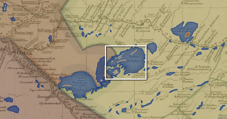
1. We supplement the material from the Short Universal Geography with material from the Geographical Atlas of the Russian Empire (1821-1828). If a place is represented on the atlas, you will find a window onto the Imperiia map that is zoomed in on the place in question. You can pan and zoom from there to your heart's content. Refreshing the page will bring the map window back to its starting position.
2. We supplement the material from the Short Universal Geography with material from the New and Complete Geographical Dictionary of Russia (1788). Maksimovich's far more colorful entries help flesh out the significance of many of the places that made their way into Arsen'ev's geography. Because his work predates Arsen'ev's by 43 years - 43 very eventful years from the perspective of imperial expansion - many places in the Geography do not appear in the Dictionary. That is fine with us. It is our way of sneaking a sense of change-over-time into this gazetteer experiment.
3. We have added tags (you will find them at the bottom of each page). With very, very few exceptions, we apply only "organic" tags: tags that represent the information available on the printed page. For example, the Geography describes Ochakov as a fortress on the Dnieper estuary that is a port complete with a customs house. Because those designations function as gazetteer categories, Ochakov is tagged with "customs houses" and "ports" and "fortresses" and "Dnieper estuary." The tags provide alternate paths through the gazetteer material (in case you don't feel like reading from start to finish).
4. We have added annotations. These are hyperlinks added to Arsen'ev's material. We annotate in those cases where Arsen'ev 1) says something confusing, 2) references something you have likely never heard of, or 3) says something so juicy we can't resist expanding and pointing you toward other parts of the Imperiia project that dig into that particular juicy subject. (You know - fun things like shipwrecks and cholera epidemics!)
Should you be impressed? Just how much "stuff" is here?
2 oceans, 8 seas, 11 lakes, 50 rivers, 18 gulfs and bays, 12 mountain ranges, 13 islands and island chains, 83 administrative units, and 638 towns. (For those of you who are counting, that's 835 places!)