The Imperiia Project: a spatial history of the Russian EmpireMain MenuProjectsDashboardsData CatalogMapStoriesGalleriesGamesWho said history was boring?Teach Our ContentCiting the ProjectKelly O'Neilldc20b45f1d74122ba0d654d19961d826c5a557f5The Imperiia Project // Davis Center for Russian and Eurasian Studies, Harvard University
12018-01-23T02:25:36-05:00Welcome!134maps | stories | data | connectionsplain2024-04-23T09:09:09-04:00
It is hard to understand history without a good map.
This is where you can see the empire through a pack of playing cards. Learn the history of Kamchatka in a dozen maps. Immerse yourself in the Putrid Sea. Voyage down the Volga River on the eve of World War I. This is where we demonstrate that every shred of the historical record is part of a dense fabric of connections in which every location, every event, every thought, every...thing, has a place.
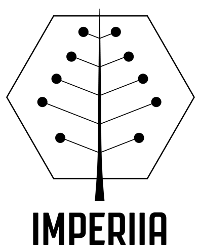
12024-04-22T13:11:37-04:00About our logo14structured_gallery2024-04-22T16:29:03-04:00Since its inception, the Imperiia Project has promoted the digital humanities by bringing together incisive historical research and the latest technological advancements in geographic information systems (GIS). The new logo reflects this mission by evoking the points and paths on a map in the shape of a leaf - at once a callback to the old logo of an oak leaf motif popular in Eastern European culture, and a reference to the environmentally focused work of Dr. Kelly O'Neill and her team.
The modern geometric design also highlights the digital core of the Imperiia Project, represented by the basic building blocks of GIS: points, lines, and polygons.
All elements together, then, beautifully capture the contributions of the project to spatial humanities, where history and geography intersect with nature and technology.