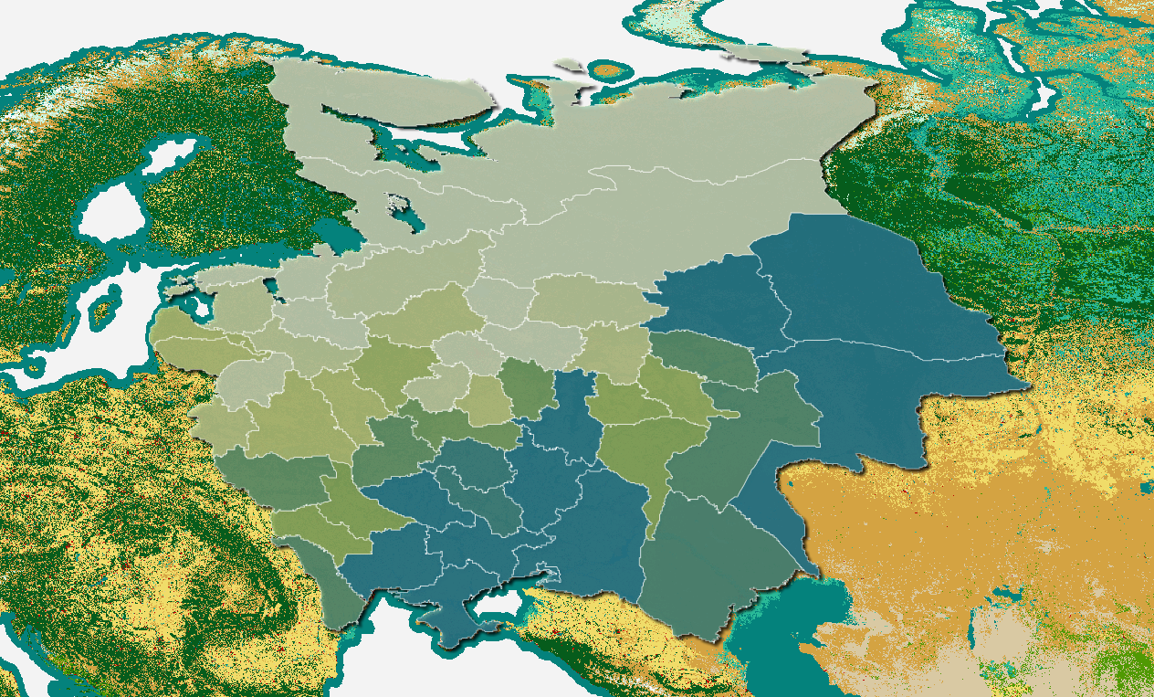
List of map layers
- Regions. Officials - particularly statisticians - began grouping provinces into regions in the middle of the 19th century. Toggle this layer on to see the boundaries. Zoom in or click to see the region labels.
- Share (%) of total livestock population. Animals were not evenly distributed across the empire. Find out which provinces had the greatest share of the total.
- Share (%) of total population of selected animal. Find out which provinces had the greatest share of the animal of your choosing.
- Shares of all animals present as % of provincial livestock population. A province might have the highest concentration of the total cattle population and yet cattle might make up a small % of the livestock of that province. This layer gets at the latter measure.
- Population of selected animal as % of provincial livestock population. This will show you the prevalence of the animal of your choosing at the provincial level.
- European Space Agency WorldCover 2020 Land Cover. Use this layer to get a sense of what the land looks like now. How much do you think it has changed over time?