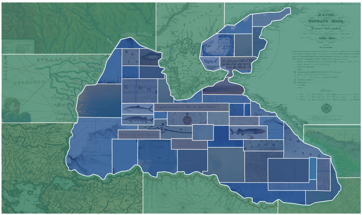
The Incremental Sea Research Platform
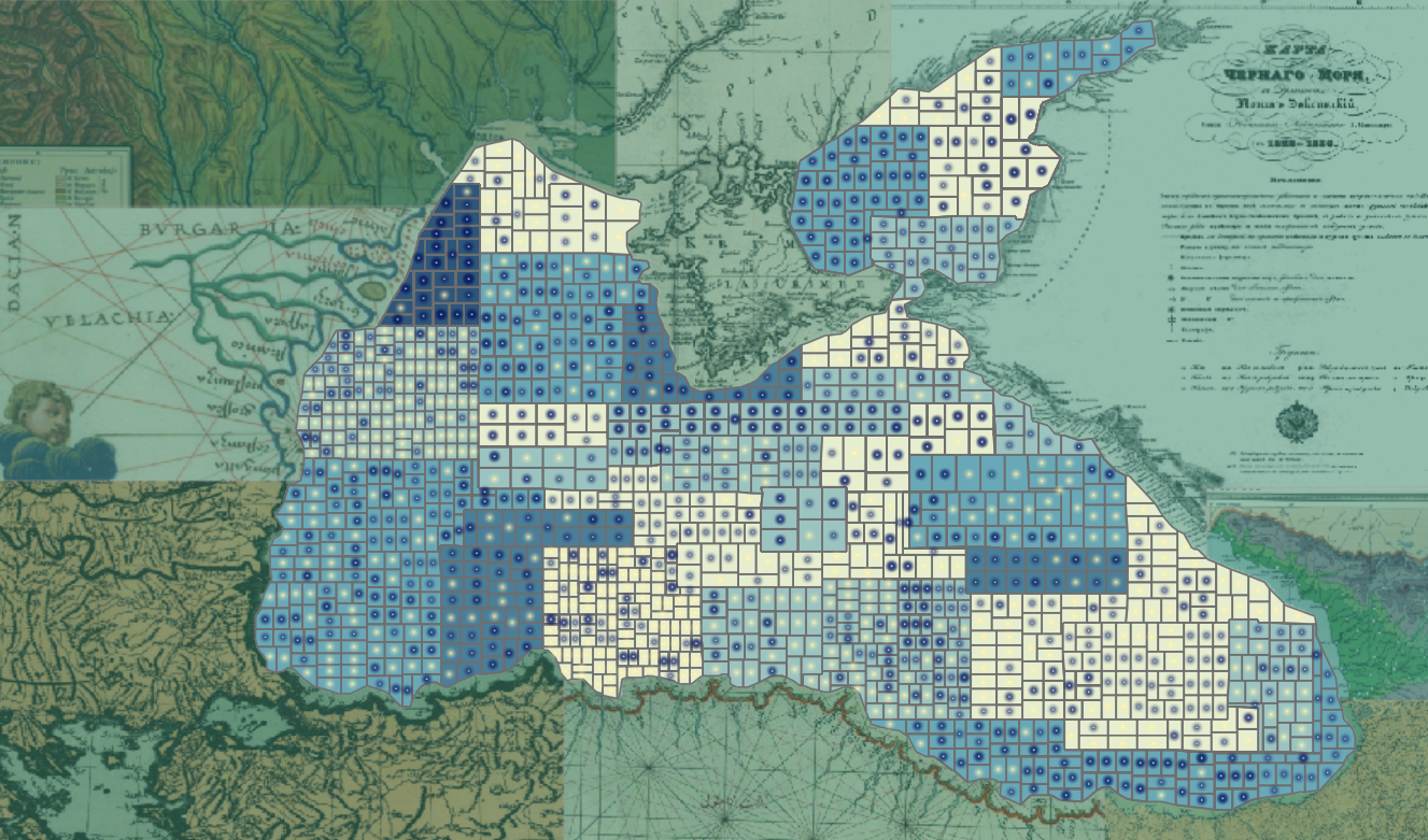
51 writers and mapmakers | 5,000 miles of coastline
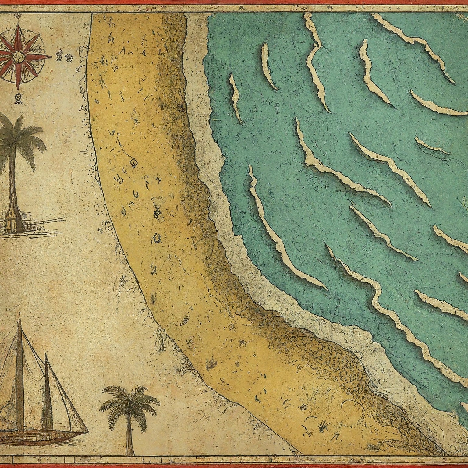
This project is a set of meditations on the Black Sea. It draws on dozens of pieces of mapwork and artwork: poems, stories, maps, memoirs, and novels composed by men and women who shaped by the sea in one way or another. It identifies the concepts that cross generations, borderlines, and genres."[H]istory has always staged its most dramatic acts upon the margin of seas and oceans; here always the plot thickens and gives promise of striking and tremendous development.” - Ellen Semple
The project grew out of a simple observation: Shorelines are deceptive. They suggest a clean separation of land from water. They convey certainty of space and clarity of substance. But anyone who has ever approached the sea knows those lines merge and dissipate as soon as they are drawn. The shore is a transitional space where our sense of vulnerability, isolation, loss, and freedom grow strong. Where water meets land we feel the passage of time more acutely. We seek rituals and resolution. We stand on endless thresholds.
Maybe you have never heard of Serhii Zhadan or Blaga Dimitrova. Maybe you've never looked at a 16th century nautical chart. Maybe you want to study the connections between seascape and vulnerability. Maybe you just want to sift through a thousand beautifully-crafted sentences in search of inspiration. No matter what your motivation, use this platform to prompt questions and inspire further research.
Project team: Kelly O'Neill (editor; maps curation & analysis; digital design); Olive Coles (text curation & analysis); Paul Vădan (editor; installation of physical exhibit). Special thanks to Yevhenii Monastyrskyi for his original translations of both poems by Zhadan, Paul Vădan for his original translation of the excerpt from Radu Tudoran's All Sails Up!, and Lucinda Harley for the handwritten increment cards distributed at the exhibit launch.
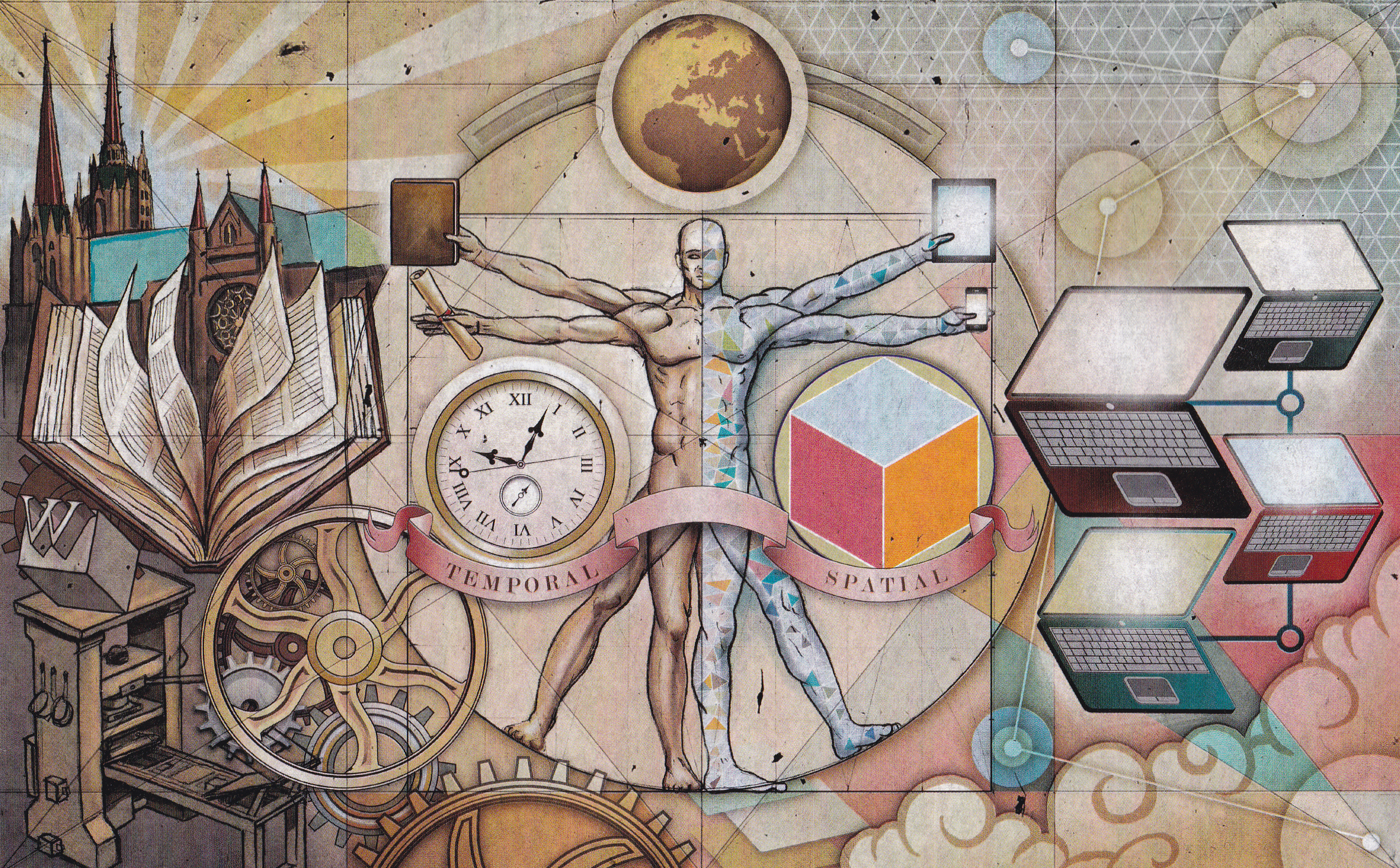
Rights note: All materials are drawn from publicly accessible sources. Maps have been sourced from accessible collections at Harvard Library, the Library of Congress, and the David Rumsey Historical Map Collection, or are original works. Author portraits have been sourced from wikipedia pages. "Element" illustrations were created using ChatGPT 5 or DALLE-3. The Incremental Sea Research Platform is available via CC BY-NC-SA 4.0 license.
Publication date: September 22, 2025 [version 1]