I wondered how she knew these things
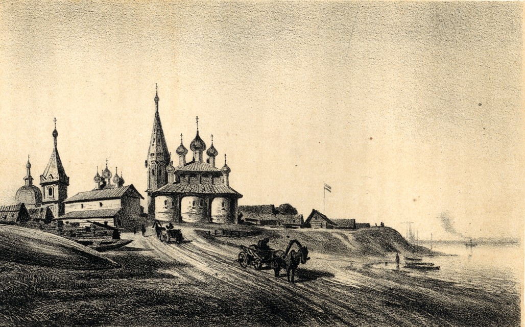
The Volga, from Tver to Astrakhan is a pretty thing. It is graced with dozens of lithograph illustrations and sketches by one of the finest artists of the day, Aleksey Petrovich Bogolyubov, who just happened to be sailing the Volga for another purpose entirely, having been commissioned by the Naval Ministry to collaborate on a hydrographical atlas of the Caspian Sea. When they found out, Samolet asked Bogolyubov to document the towns and landscapes along the route (in such a way that they appeared picturesque, I imagine).
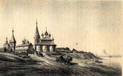
Which he did. And that is how I came across this picture of Tscheboksari as it was half a century ago, in 1862.