The Imperiia ProjectMain MenuResearch Dashboardsmaps, visualizations, and moreVeles: The Data CatalogOngoing ProjectsThe MapMaker PodcastEvery story starts somewhere.Teach with MapsGalleriesKelly O'Neilldc20b45f1d74122ba0d654d19961d826c5a557f5The Imperiia Project // Davis Center for Russian and Eurasian Studies, Harvard University
Access to the coasts certainly helps explain the Grand Duchy's urban geography. But does it explain the general pattern of settlement? In other words, what if we pay attention to smaller settlements - to both towns and villages? Can you identify the geographical feature that best explains the pattern of settlement in the Grand Duchy of Finland?
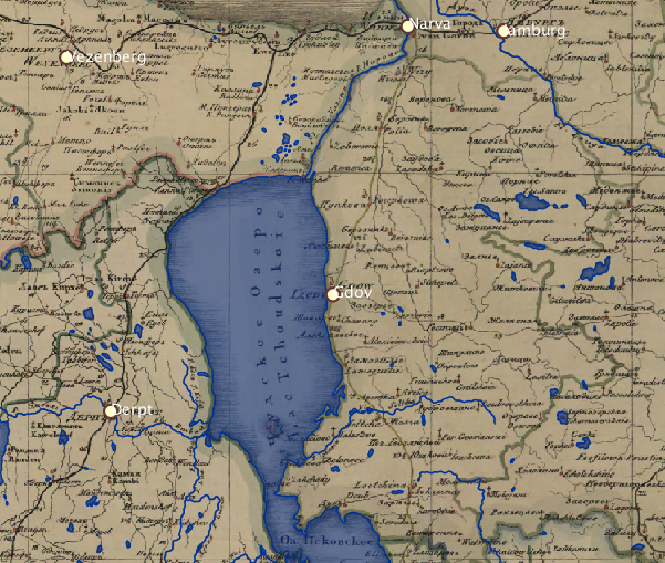
Study the map. Pan, zoom, toggle layers on and off until you know what you are looking at and are familiar with the territory.
Answer these questions: 1. Villages with churches, villages without churches, and Protestant parishes are distributed across the Grand Duchy. Describe the differences in their distribution patterns. 2. Can you explain any of those patterns? 3. Can you explain why the patterns differ? 4. Carriage roads play a very particular role in Finland. What is it?