Black Sea
Short Universal Geography
According to Arsen'ev, the Black Sea was, in essence, a collection of bays and estuaries.
New and Complete Geographical Dictionary (part 6, pages 212-213)
Toponym: Chernoe more (Russian equivalent of the Turkish, Kara Deniz)
Dimensions: 6650 versts or 950 geographical miles in circumference
What Lev Maksimovich would have you remember about the Black Sea:
Storms on the Black Sea are no more cruel than those on other seas. However, because the sea is enclosed, the resulting waves turn back ferociously on each other, posing a real danger to ships. Moreover, the coast offers few safe harbors.
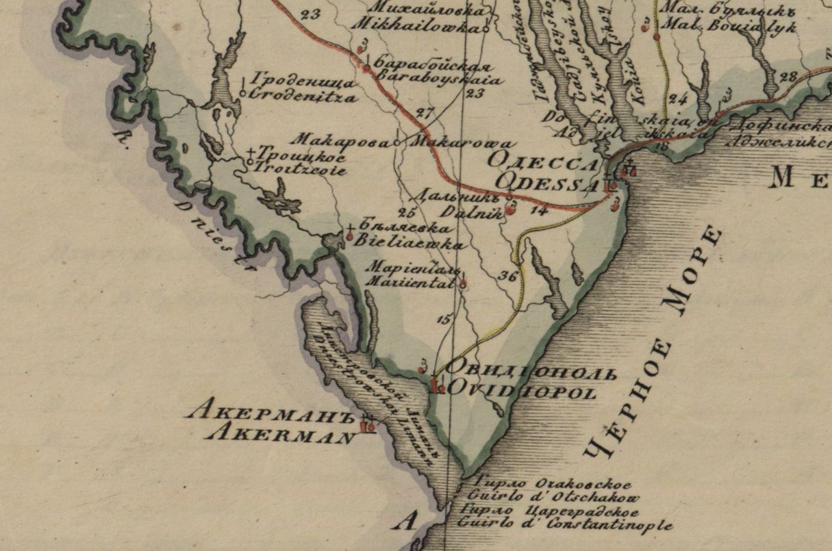
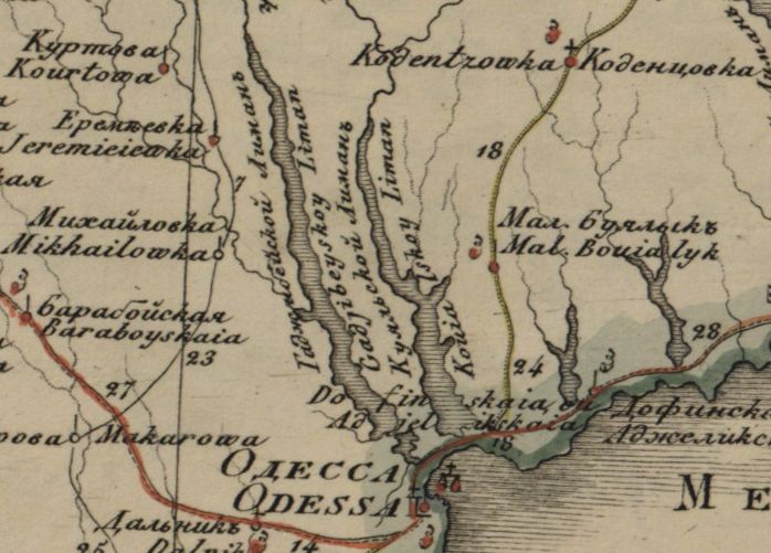
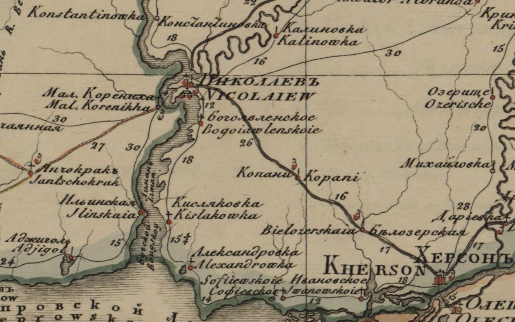
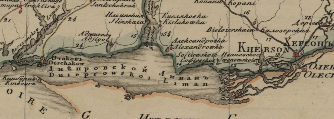
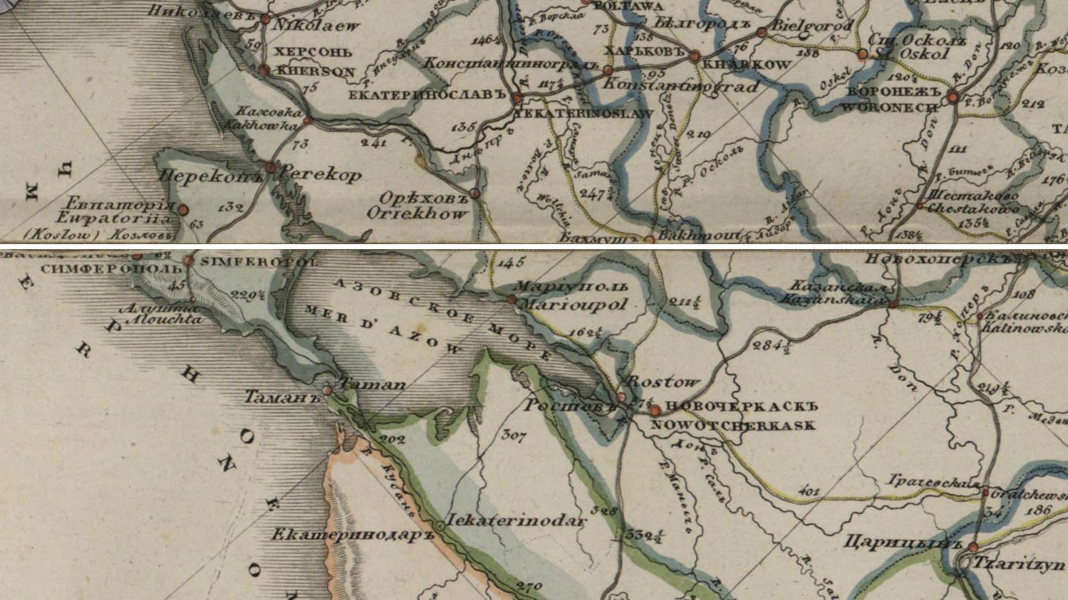
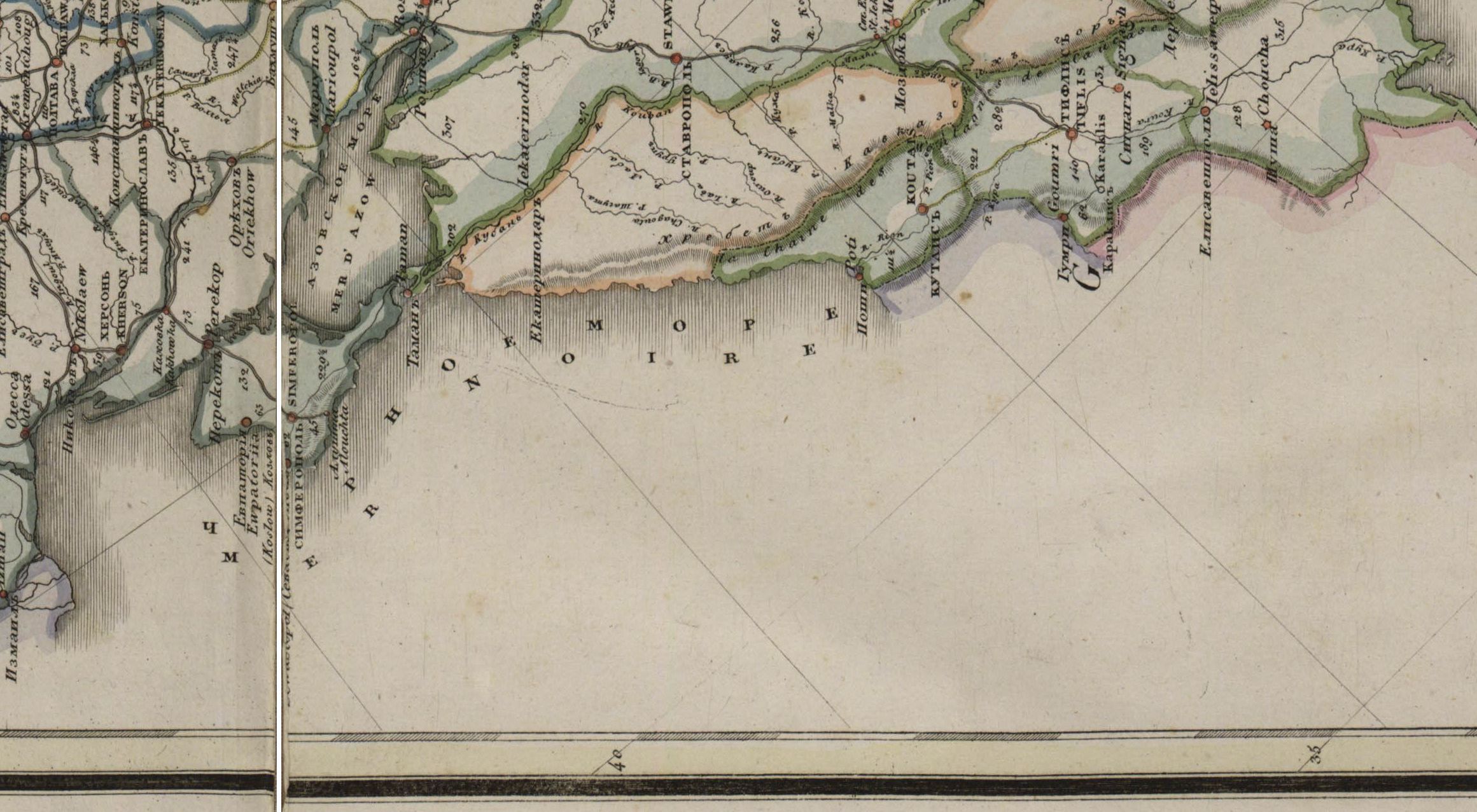
The Black Sea is fed by the Danube, Dnestr, Bug, Dneper, Don, Kuban, and Rioni. The prevalence of river waters - i.e., fresh water - explains why large portions of the Black Sea freeze in winter.
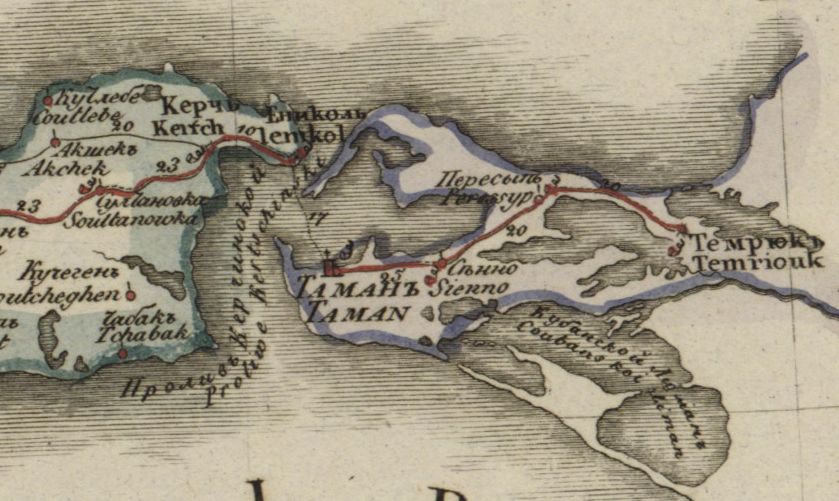
The Black Sea connects to the Sea of Marmara in the southwest, and to the Azov Sea in the northeast.
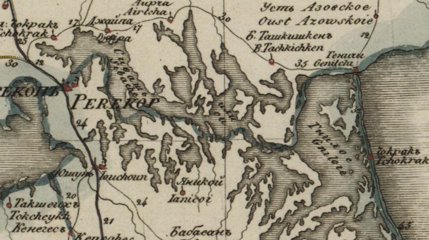
The Crimean peninsula is the most remarkable landmass in the sea. It is the equivalent of the Peloponnese.
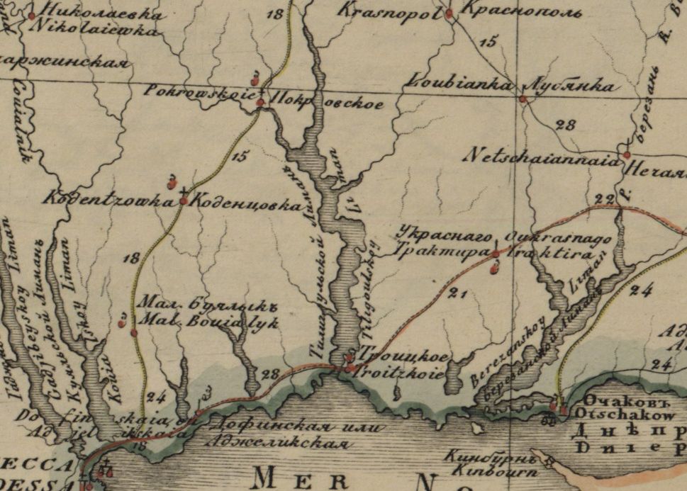
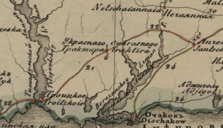
A unique perspective on the northern coast of the Black Sea