This tag was created by James Browning. The last update was by Kelly O'Neill.
Forays into the Black Sea
<insert post-victory map of region>
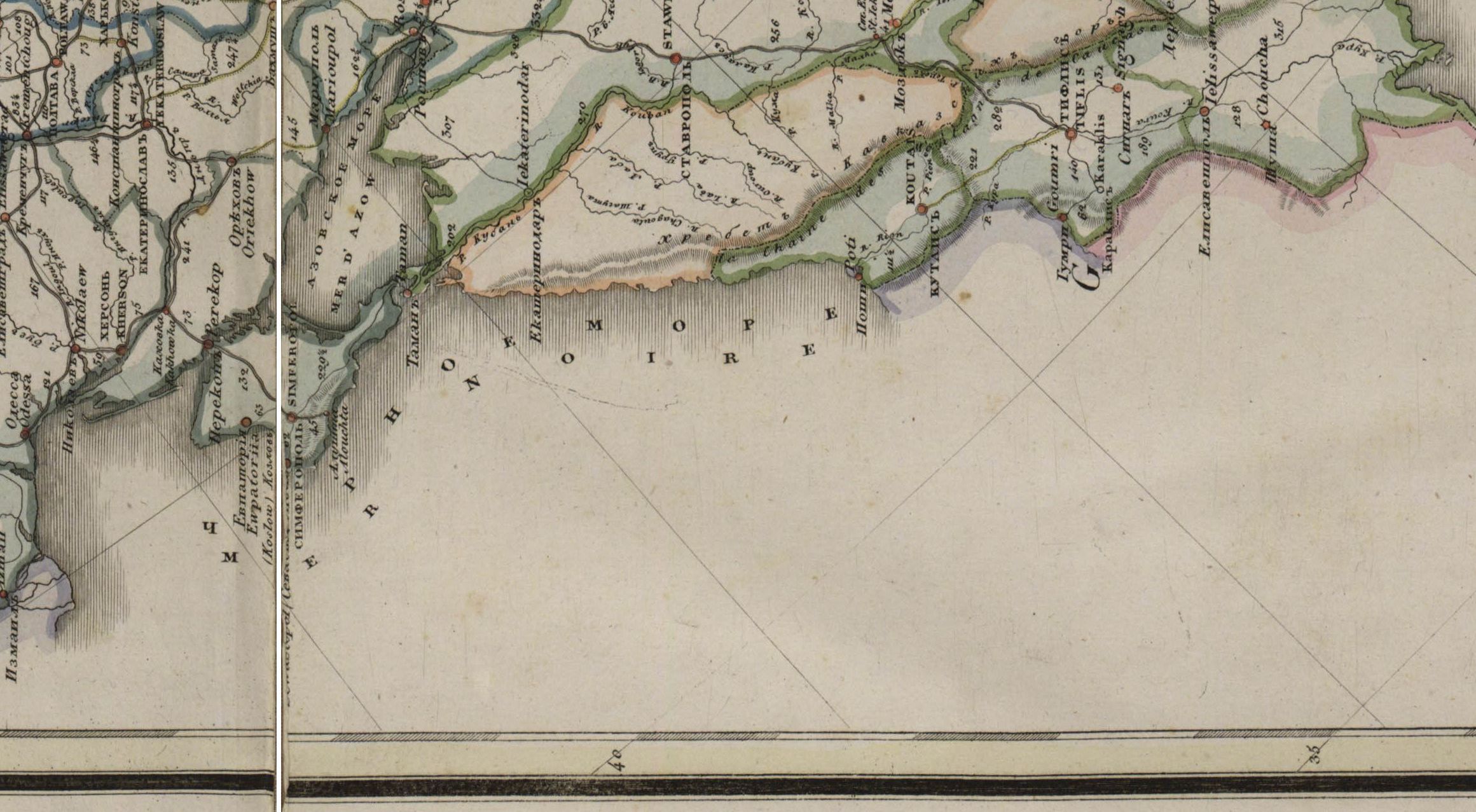
Russia’s victory in the Russo-Turkish War (1768 – 1774) brought the port cities of Azov and Kerch as well as the territory between the Dnepr and Southern Bug rivers under Russian control. With this territory came the first real possibility of a self-sustainable southern fleet capable of controlling the Black Sea and asserting Russia’s presence in the Mediterranean. Catherine II tasked the admiralty with finding the optimal location for a shipyard within the newly acquired Dnepr estuary, which she had determined to be “the most suitable location for a roadstead along the shore of the Black Sea and within the borders of Our empire."1 The Dnepr was considered ideal for its easy access to forested lands further inland, and it was hoped that its estuary would provide a sufficiently deep harbor for the construction and safe anchorage of warships. As this shipyard was to be the base of Russia’s future Black Sea operations, it additionally had to be on land that could quickly be developed into a fortified city without incurring too much of a cost. Such a matter was of paramount importance to an empire wondering how best to defend its new acquisitions and to project its imperial vision.2
For a condensed assessment of why Kherson was built where it was, click here.