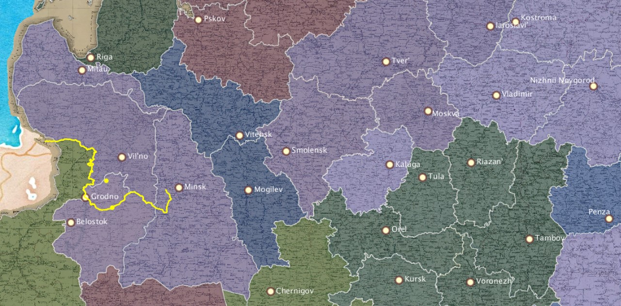
Avgustov Province
1 2020-08-17T16:53:17-04:00 Kelly O'Neill dc20b45f1d74122ba0d654d19961d826c5a557f5 9 7 geographic playing card plain 2022-05-18T01:24:46-04:00 54.11175, 22.93087 Kelly O'Neill dc20b45f1d74122ba0d654d19961d826c5a557f5Basic
Provincial town: SuvalkiArea (sq miles): 6,841
Population: 547,319
Population density: 80 people per square mile
Cities: 6
Noteworthy
Trade note: Trade is rather active.Climate note: cold
Ready for some real fun?
Use the tags below to find out which provinces mention the same ethnic groups, economic activities, and geographic features.This page has tags:
- 1 2020-08-17T01:20:36-04:00 Kelly O'Neill dc20b45f1d74122ba0d654d19961d826c5a557f5 Baltic Sea basin Kelly O'Neill 15 playing card tag google_maps 2020-09-15T01:24:54-04:00 Kelly O'Neill dc20b45f1d74122ba0d654d19961d826c5a557f5
- 1 2020-08-16T16:56:46-04:00 Kelly O'Neill dc20b45f1d74122ba0d654d19961d826c5a557f5 Tatars Kelly O'Neill 11 playing card tag google_maps 2020-09-17T17:14:47-04:00 Kelly O'Neill dc20b45f1d74122ba0d654d19961d826c5a557f5
- 1 2020-08-24T09:47:03-04:00 Kelly O'Neill dc20b45f1d74122ba0d654d19961d826c5a557f5 Germans Kelly O'Neill 10 playing card tag google_maps 2020-09-17T16:46:14-04:00 Kelly O'Neill dc20b45f1d74122ba0d654d19961d826c5a557f5
- 1 2020-08-17T03:01:15-04:00 Kelly O'Neill dc20b45f1d74122ba0d654d19961d826c5a557f5 Neman River Kelly O'Neill 6 playing card tag plain 2020-08-18T10:56:44-04:00 Kelly O'Neill dc20b45f1d74122ba0d654d19961d826c5a557f5
- 1 2020-08-24T09:48:30-04:00 Kelly O'Neill dc20b45f1d74122ba0d654d19961d826c5a557f5 Poles Kelly O'Neill 5 playing card tag google_maps 2020-09-17T16:49:44-04:00 Kelly O'Neill dc20b45f1d74122ba0d654d19961d826c5a557f5
- 1 2020-08-24T09:46:46-04:00 Kelly O'Neill dc20b45f1d74122ba0d654d19961d826c5a557f5 Russians Kelly O'Neill 4 playing card tag google_maps 2020-08-25T23:09:50-04:00 Kelly O'Neill dc20b45f1d74122ba0d654d19961d826c5a557f5
- 1 2020-08-24T09:48:05-04:00 Kelly O'Neill dc20b45f1d74122ba0d654d19961d826c5a557f5 Jews Kelly O'Neill 4 playing card tag google_maps 2020-09-17T16:47:31-04:00 Kelly O'Neill dc20b45f1d74122ba0d654d19961d826c5a557f5
- 1 2020-08-26T16:31:15-04:00 Kelly O'Neill dc20b45f1d74122ba0d654d19961d826c5a557f5 horse farming Kelly O'Neill 3 playing card tag google_maps 2020-08-26T16:50:50-04:00 Kelly O'Neill dc20b45f1d74122ba0d654d19961d826c5a557f5
- 1 2020-08-19T09:35:28-04:00 Kelly O'Neill dc20b45f1d74122ba0d654d19961d826c5a557f5 textiles Kelly O'Neill 2 playing card tag google_maps 2020-08-19T09:50:04-04:00 Kelly O'Neill dc20b45f1d74122ba0d654d19961d826c5a557f5
- 1 2020-08-19T02:49:10-04:00 Kelly O'Neill dc20b45f1d74122ba0d654d19961d826c5a557f5 leather Kelly O'Neill 2 playing card tag google_maps 2020-08-19T09:51:57-04:00 Kelly O'Neill dc20b45f1d74122ba0d654d19961d826c5a557f5
- 1 2022-02-15T00:16:22-05:00 Kelly O'Neill dc20b45f1d74122ba0d654d19961d826c5a557f5 shipping Kelly O'Neill 1 plain 2022-02-15T00:16:22-05:00 Kelly O'Neill dc20b45f1d74122ba0d654d19961d826c5a557f5
- 1 2022-02-15T09:20:38-05:00 Kelly O'Neill dc20b45f1d74122ba0d654d19961d826c5a557f5 linen Kelly O'Neill 1 playing card tag plain 2022-02-15T09:20:38-05:00 Kelly O'Neill dc20b45f1d74122ba0d654d19961d826c5a557f5
This page references:
- 1 2020-08-16T23:07:24-04:00 Avgustov Province 1 Item in the set of geographic playing cards produced in Russia in 1856. These were elaborately illustrated, beautifully-produced playing cards laden with pedagogical and ideological value. There is one card for each province of the Russian Empire. plain 2020-08-16T23:07:24-04:00 1865 LoC_RussianGeogCards3.jpg