Town Plans
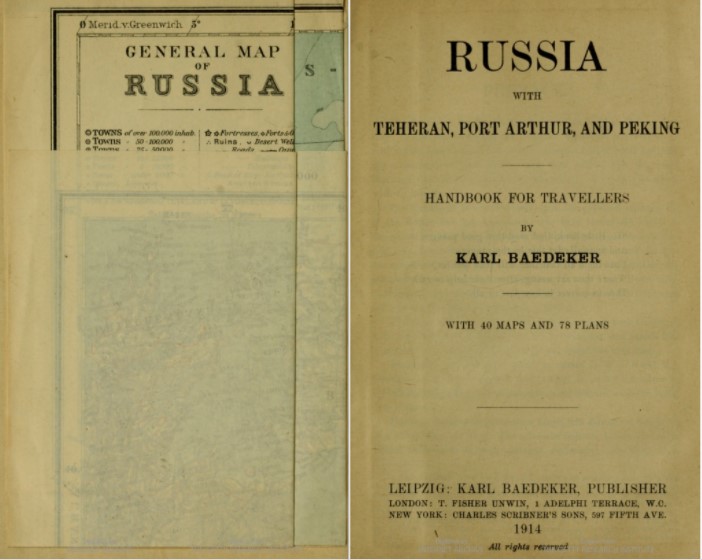
Baedeker's Russia: A Handbook for Travelers (1914) is an exquisite historical source.
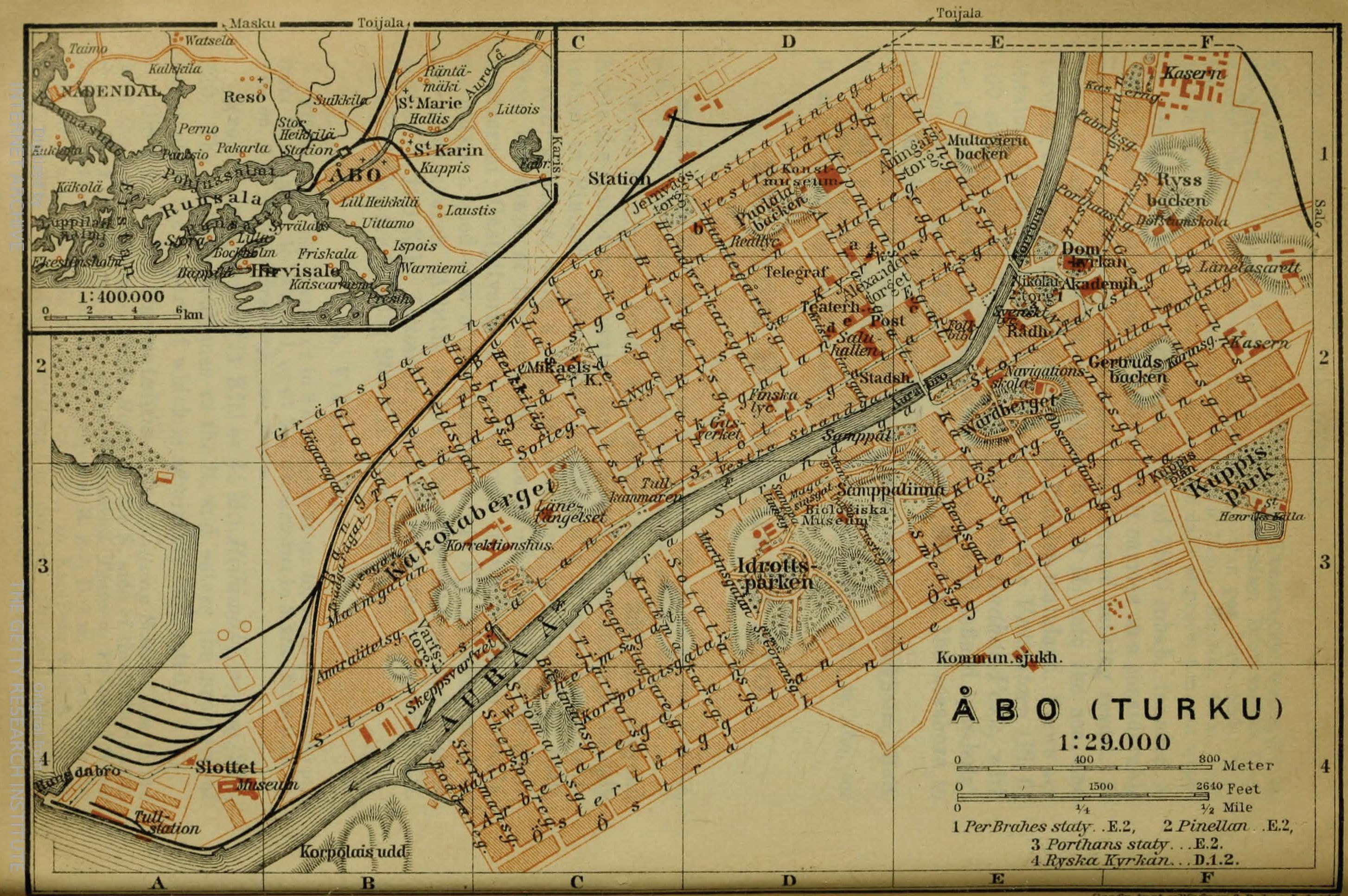
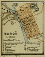
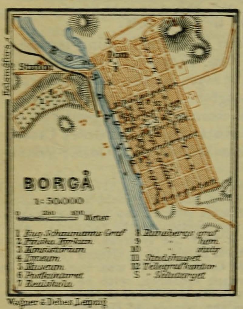
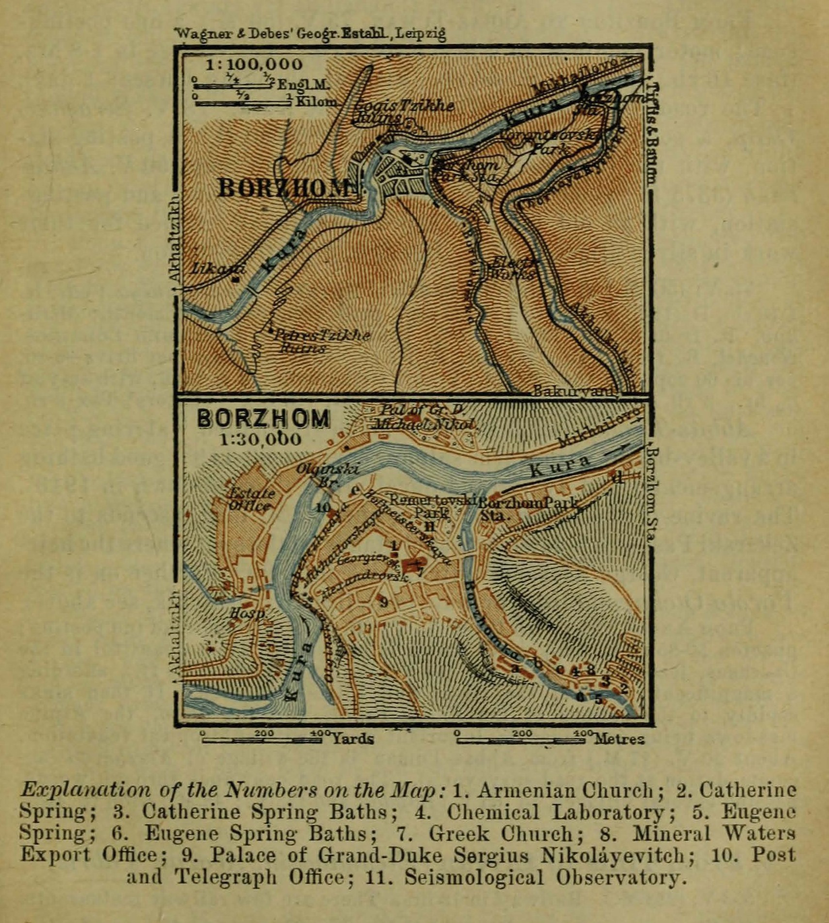
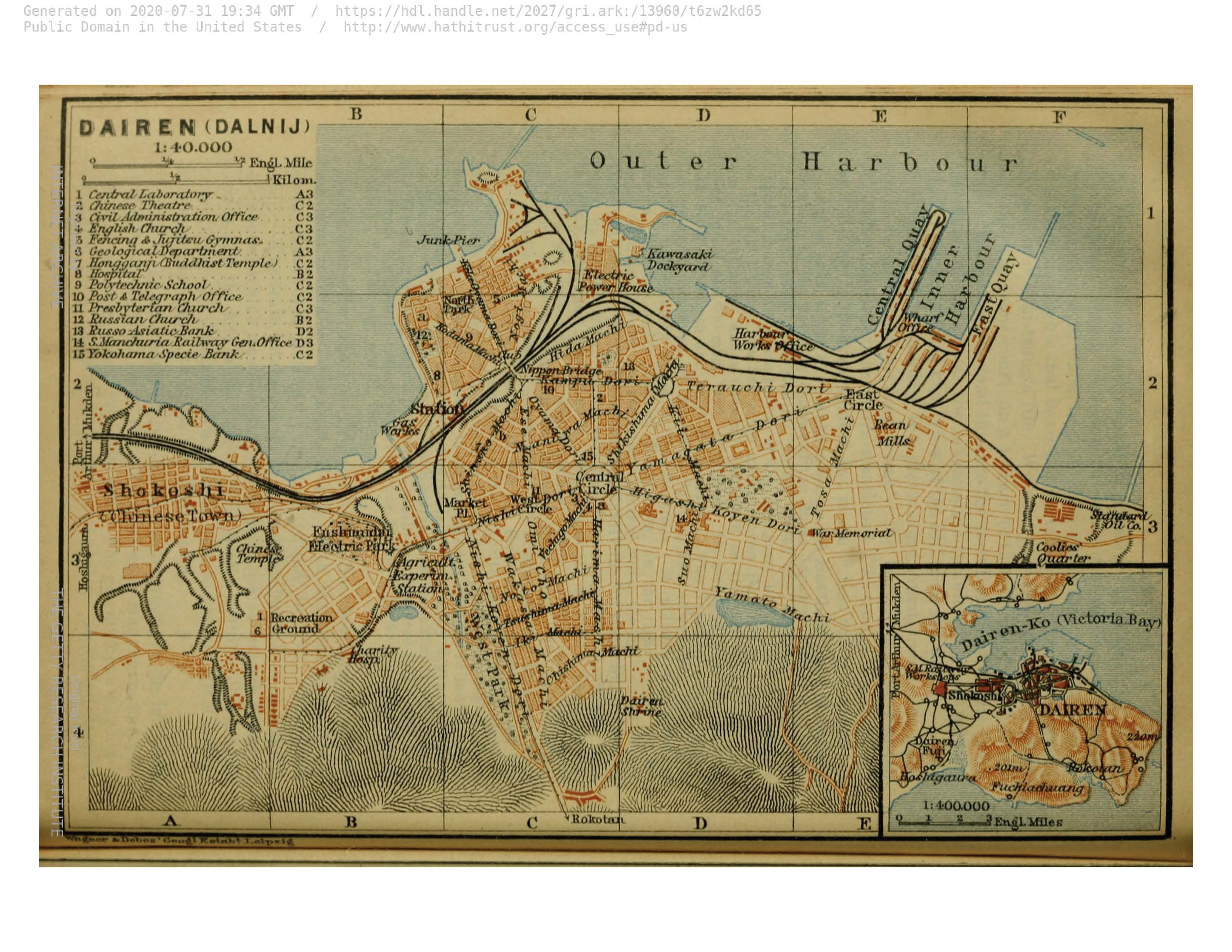
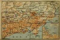
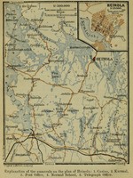
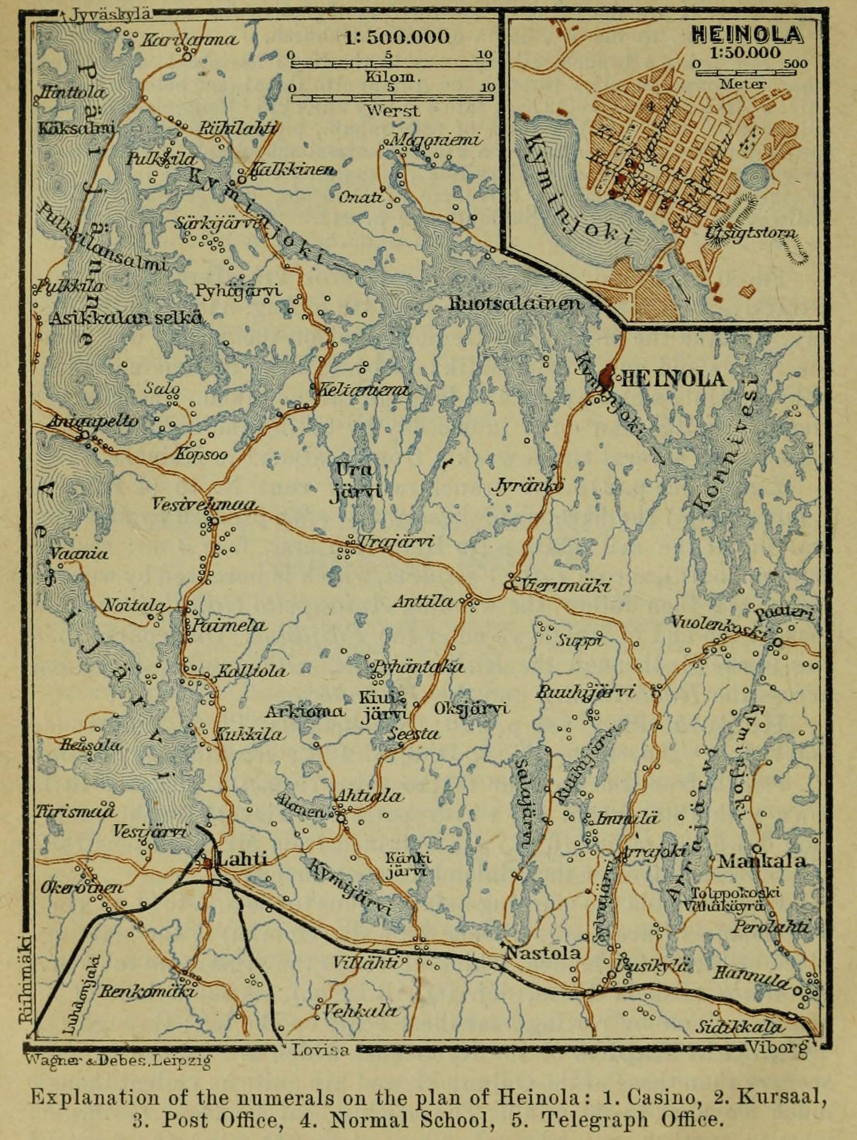
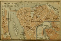
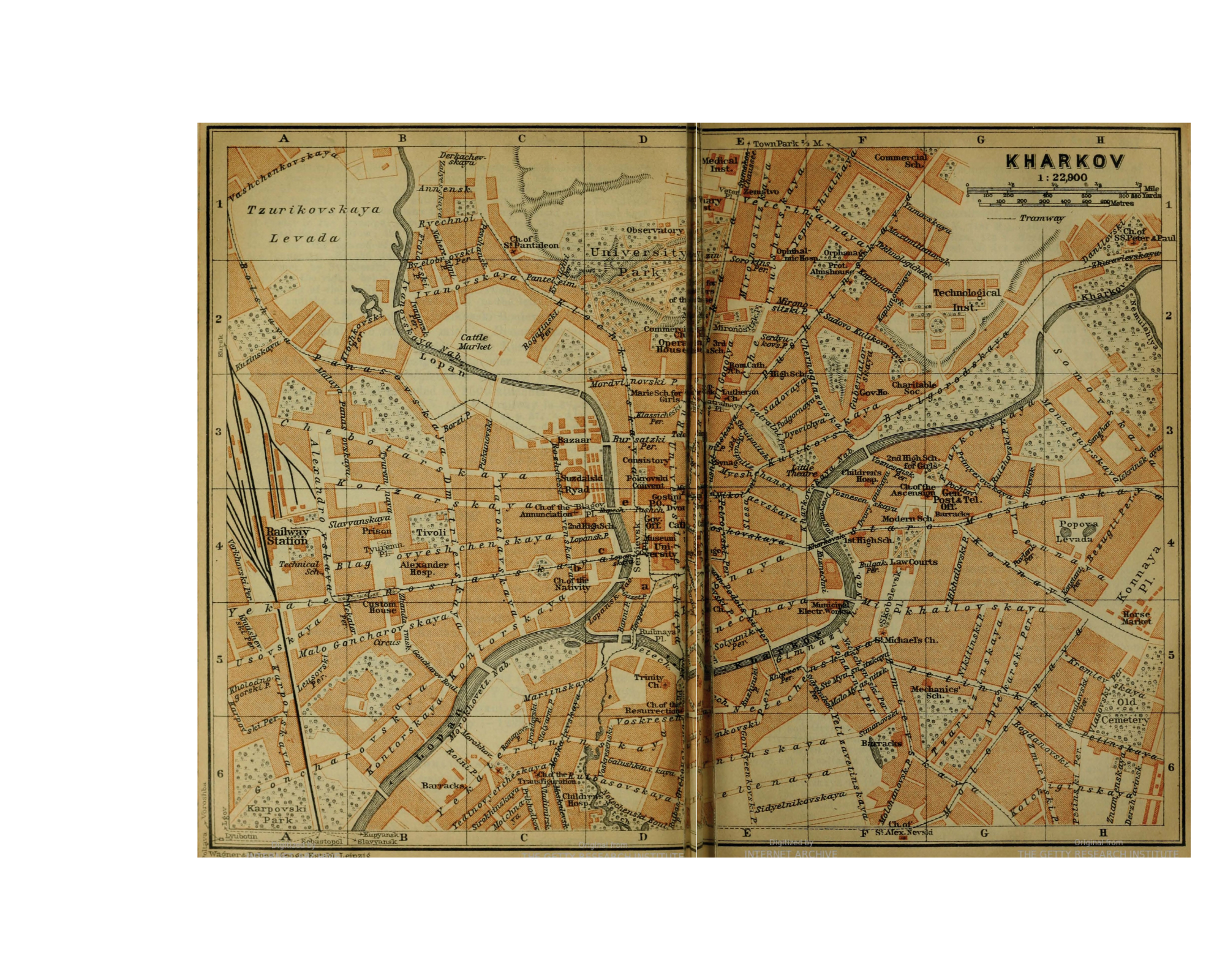
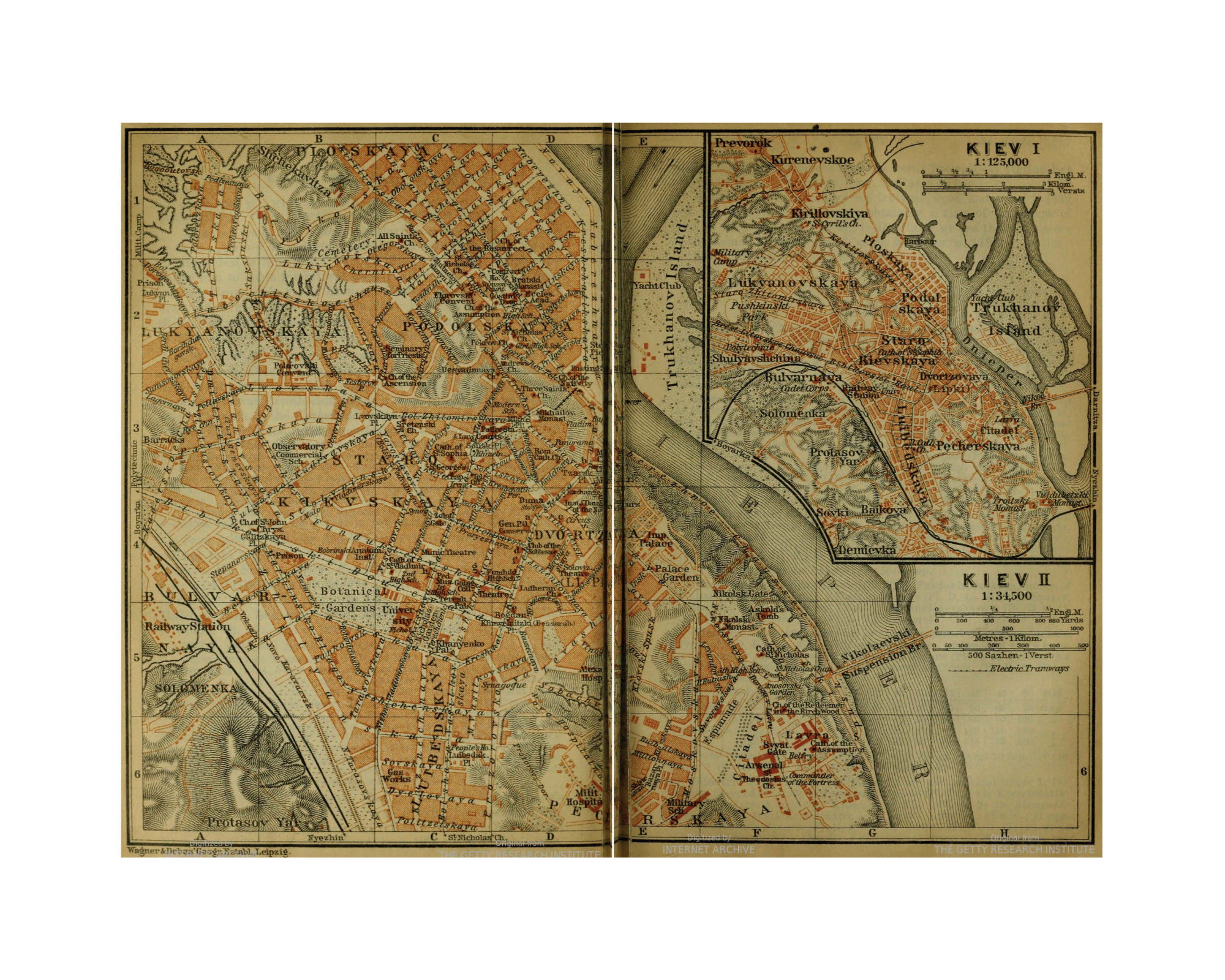
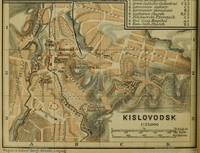
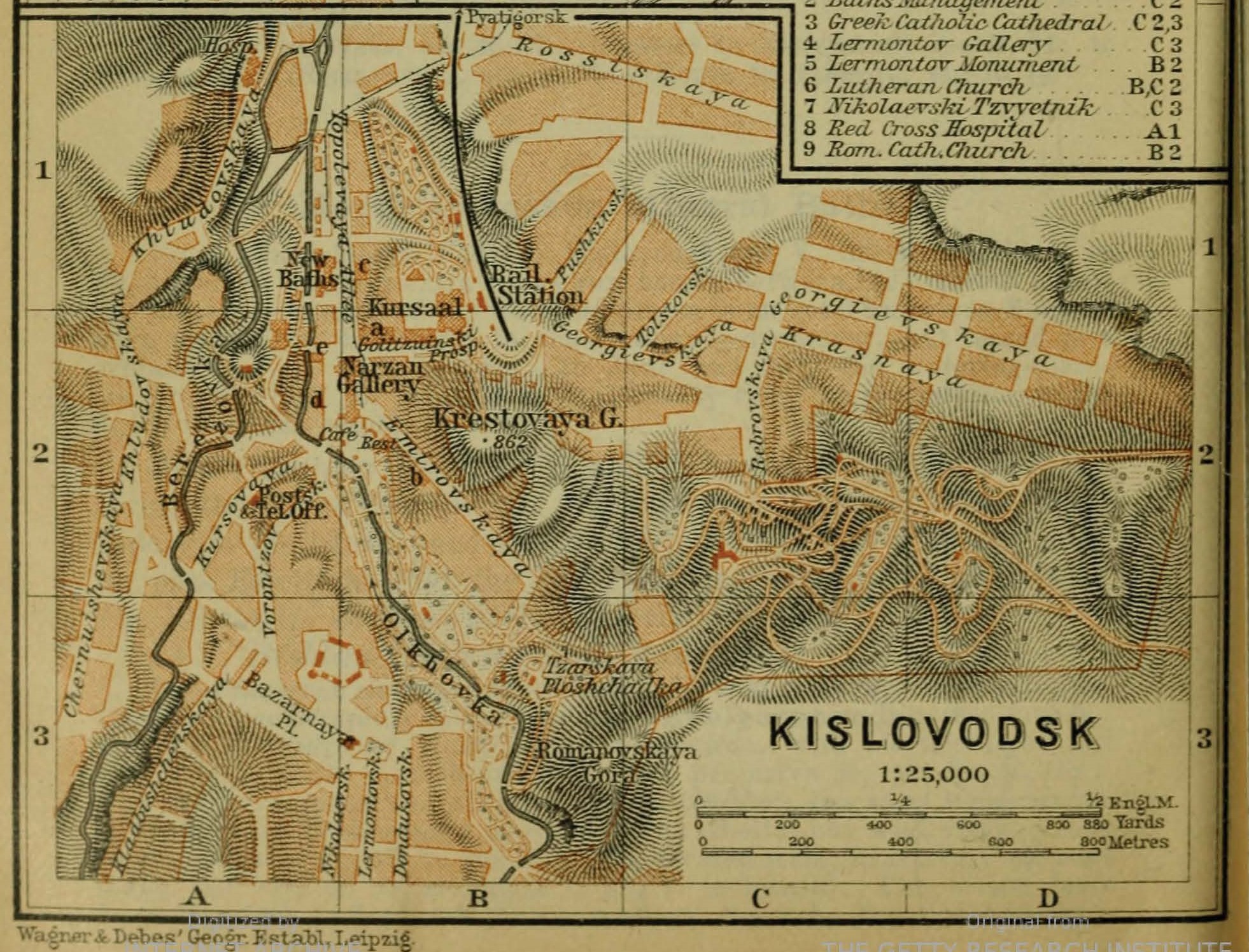
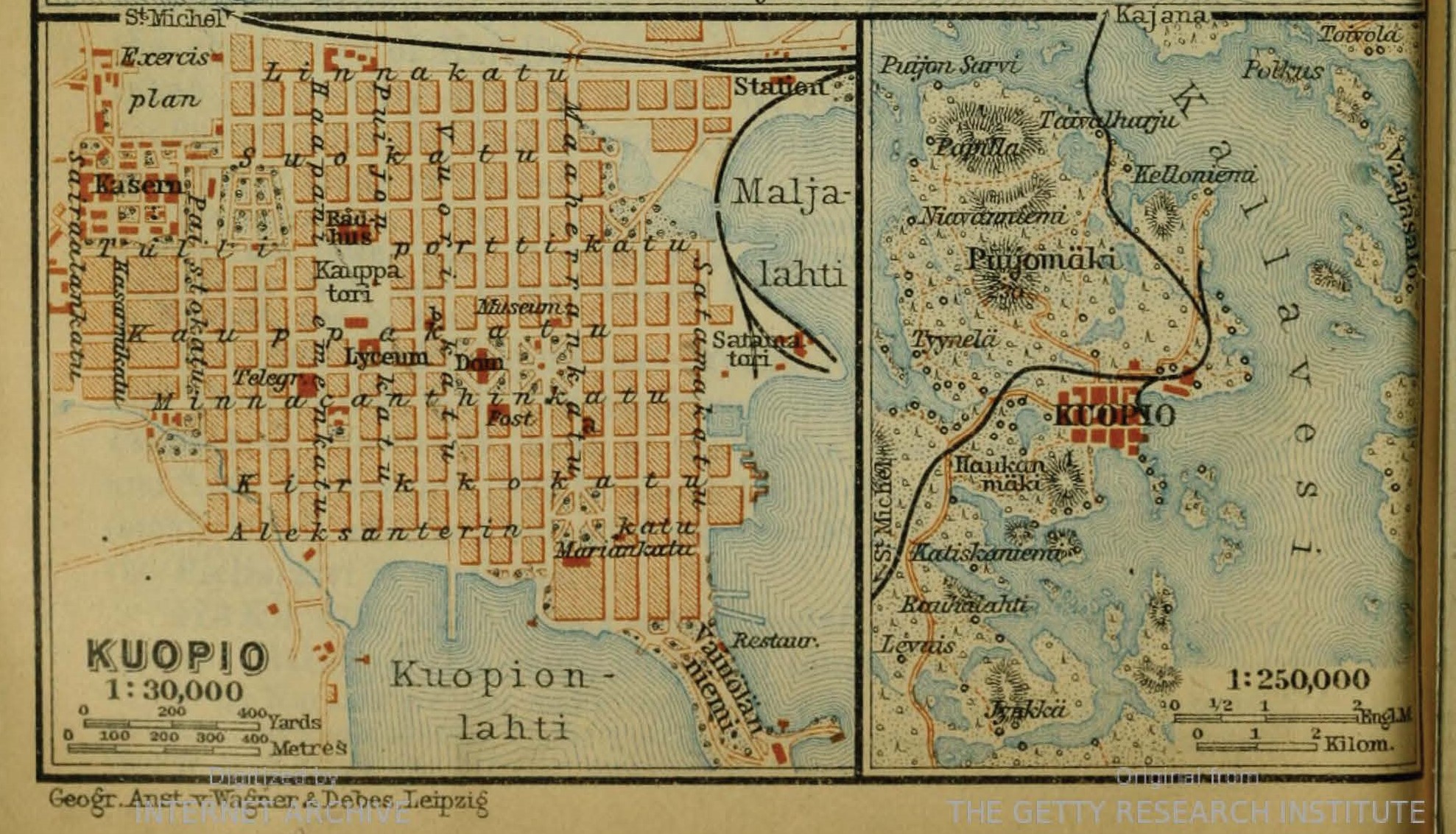
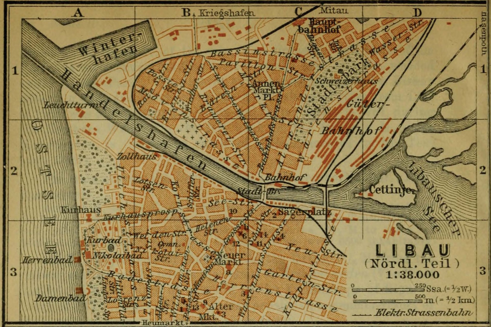
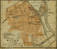
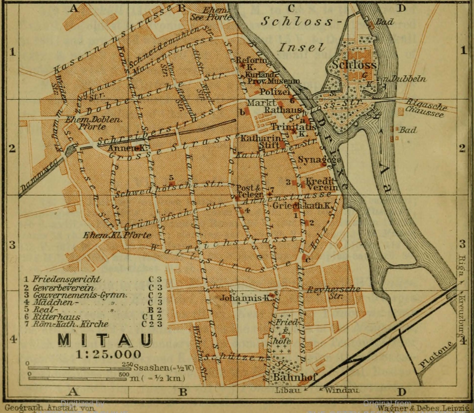
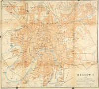
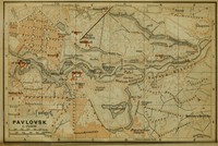
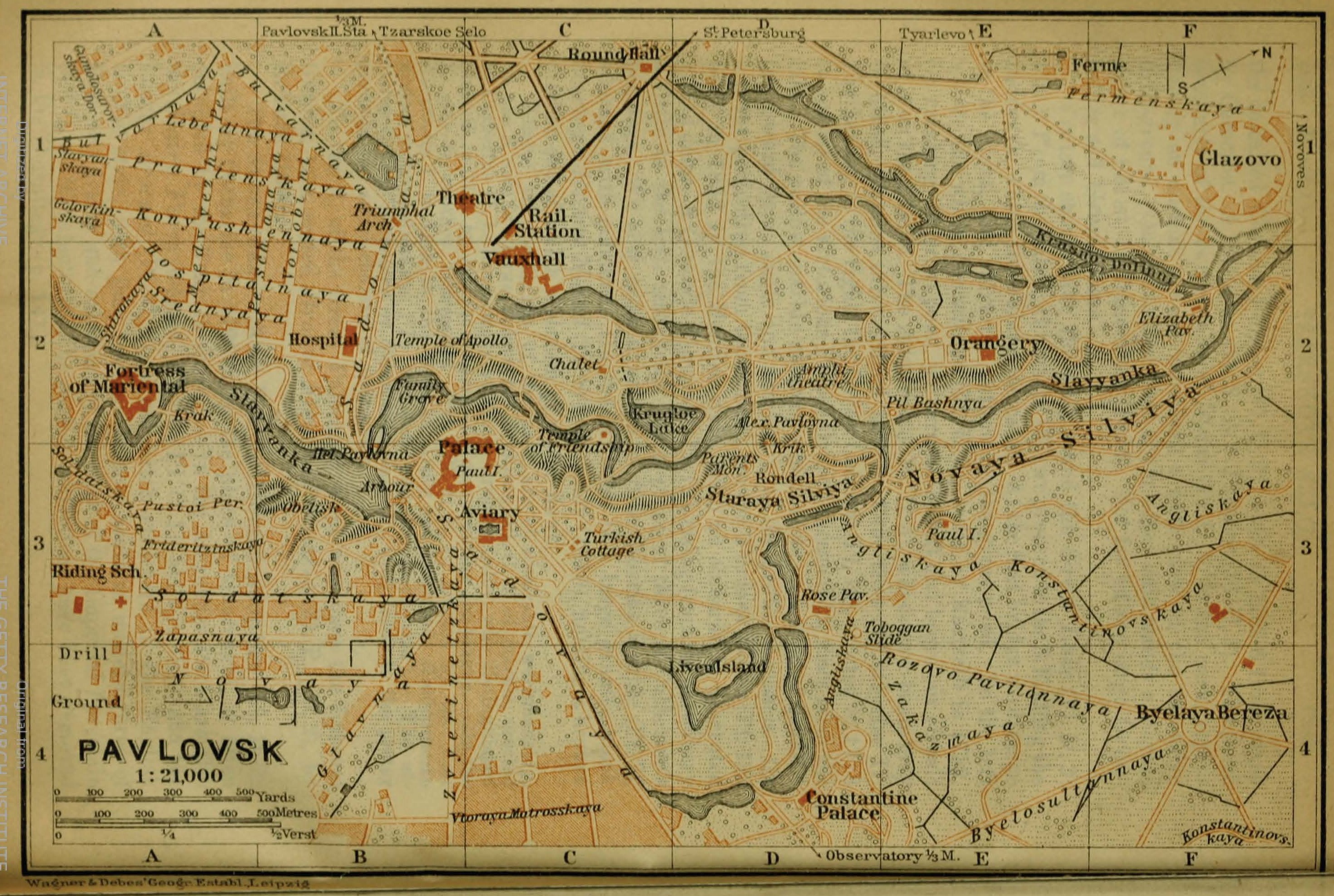
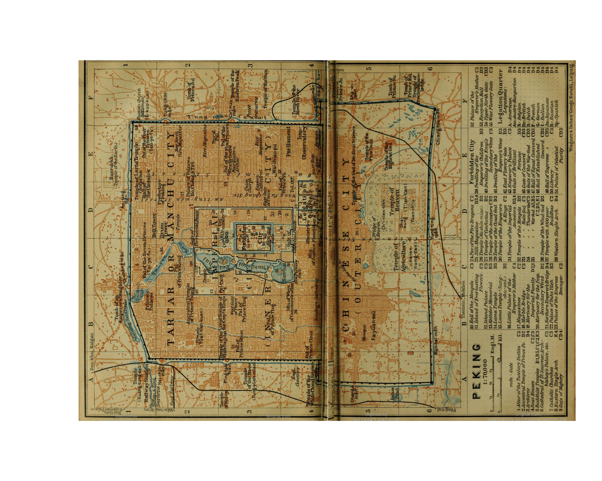
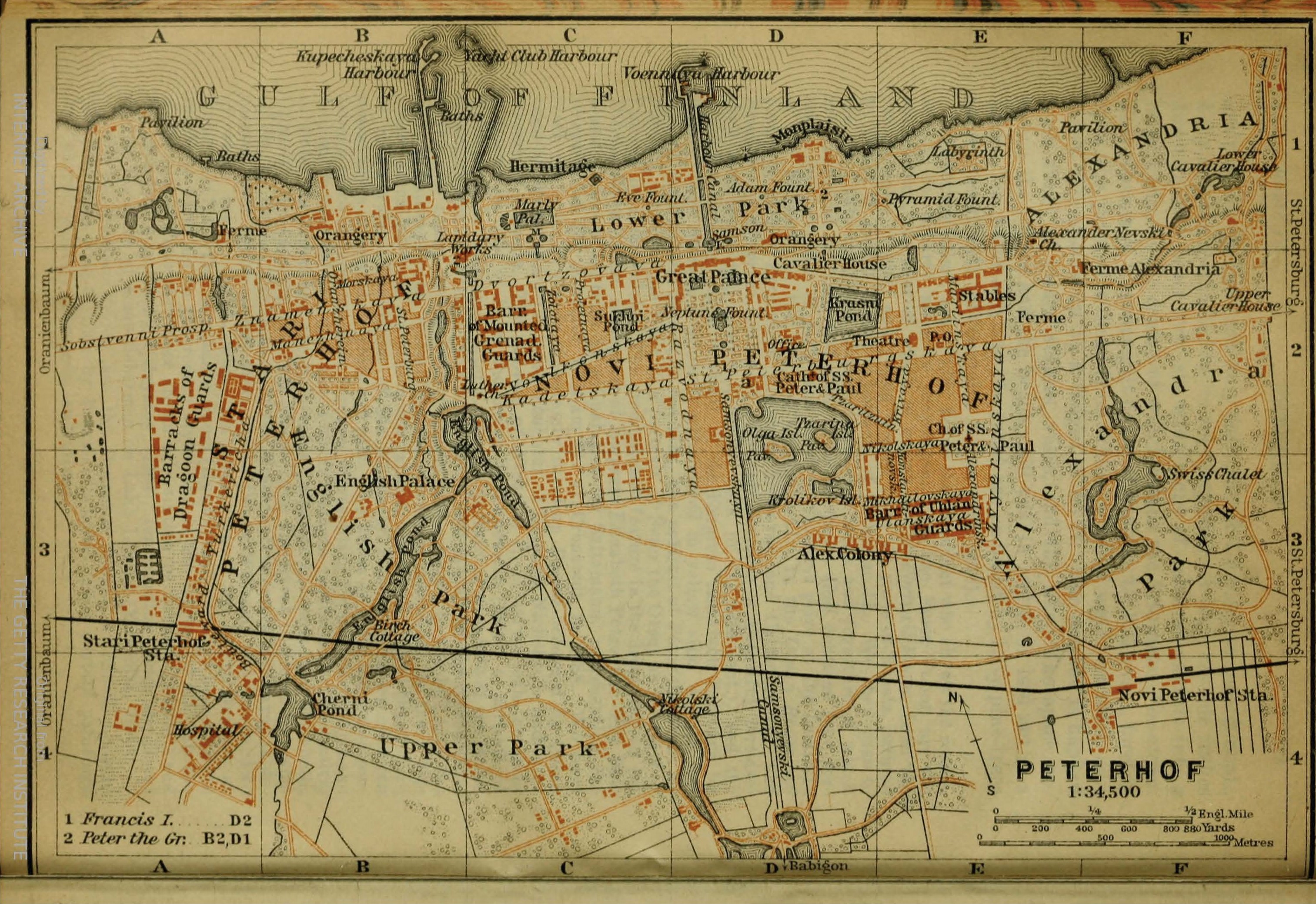
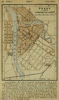
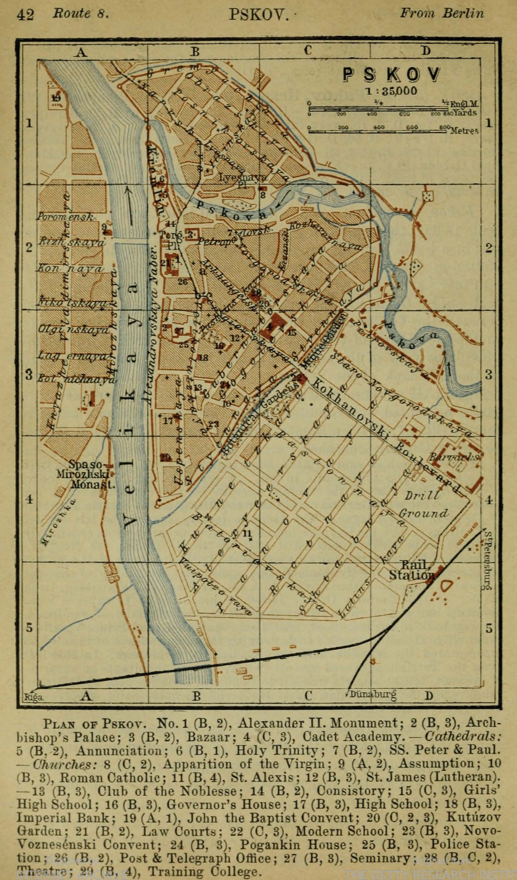
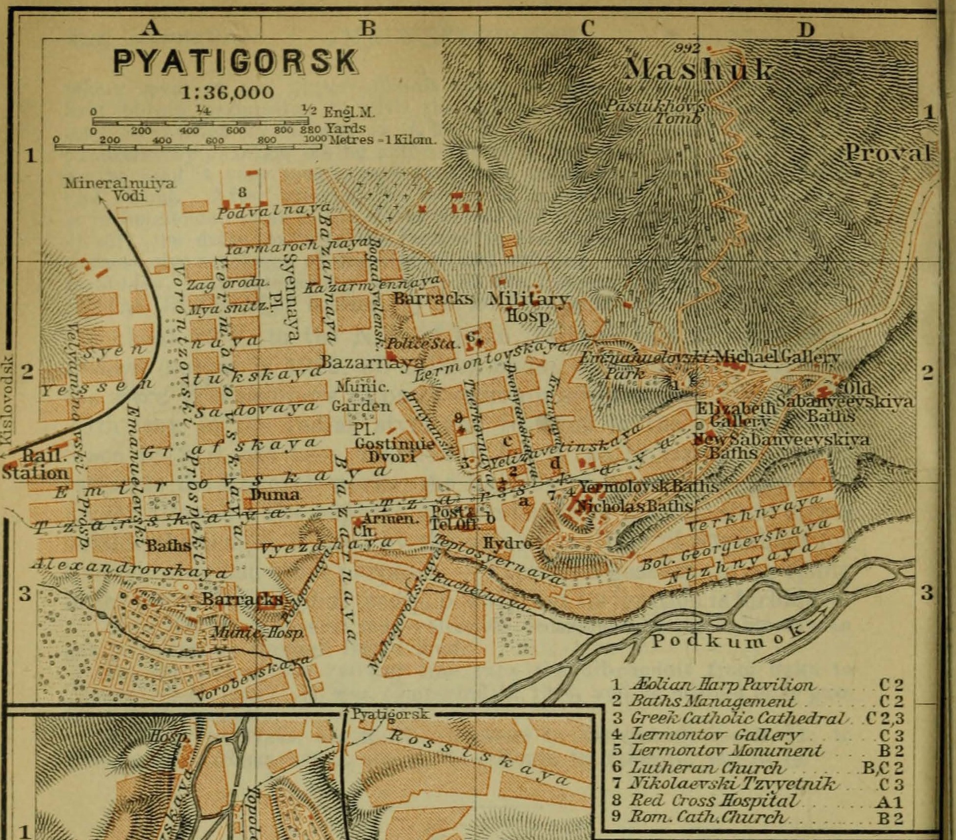
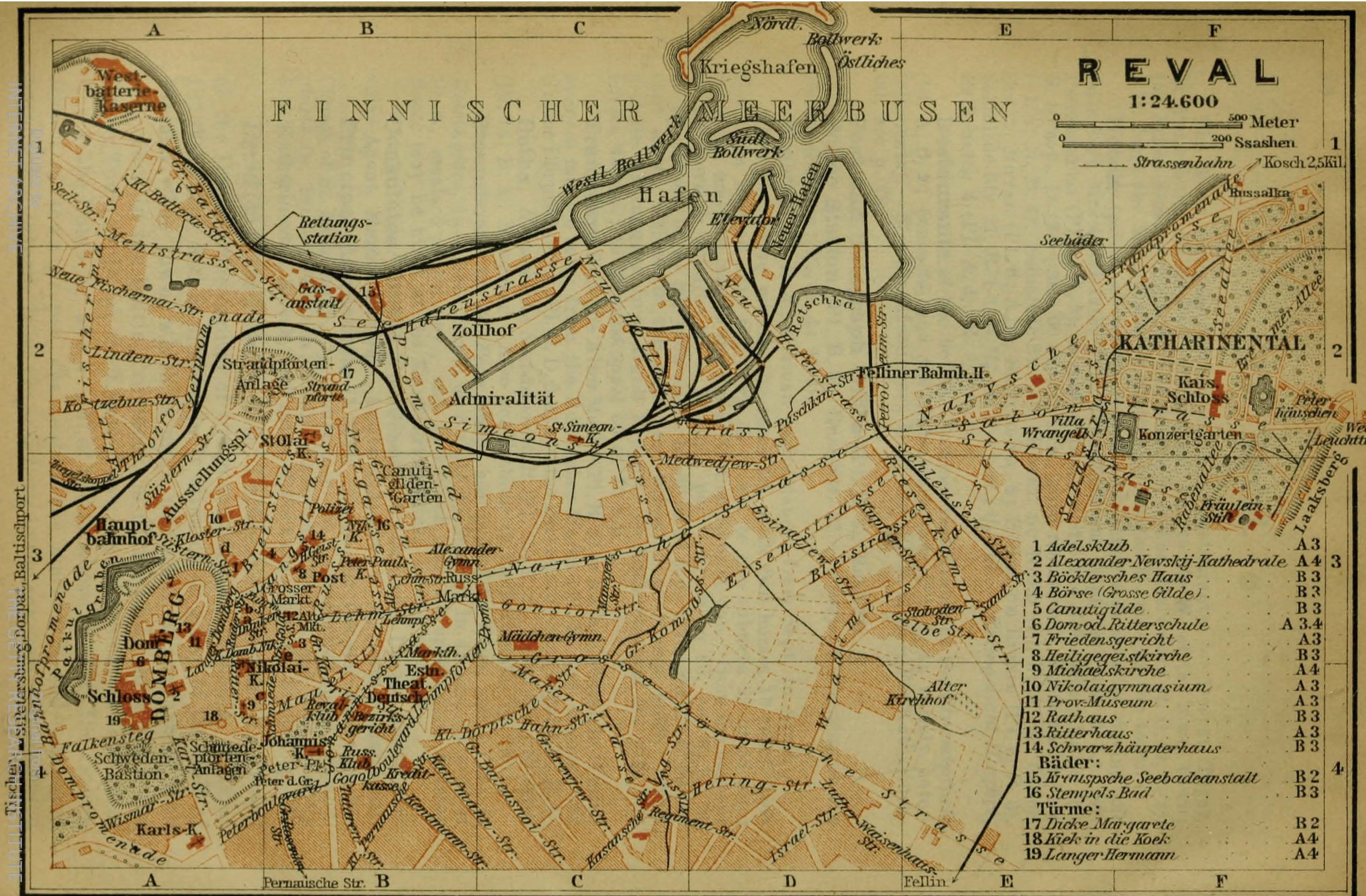
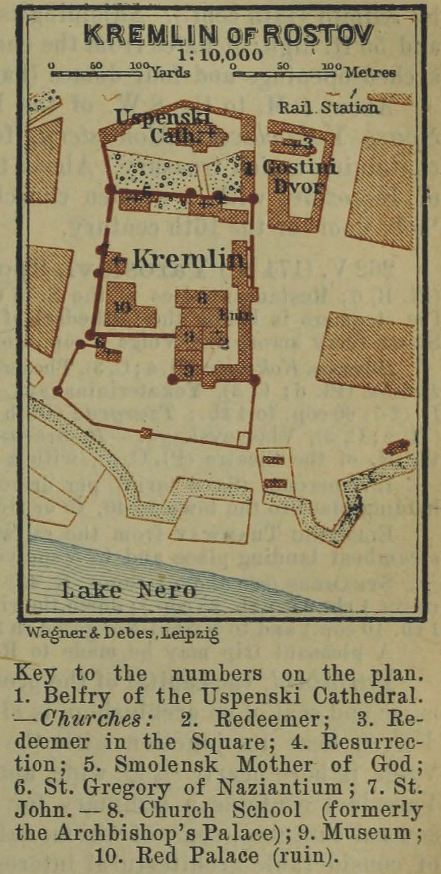
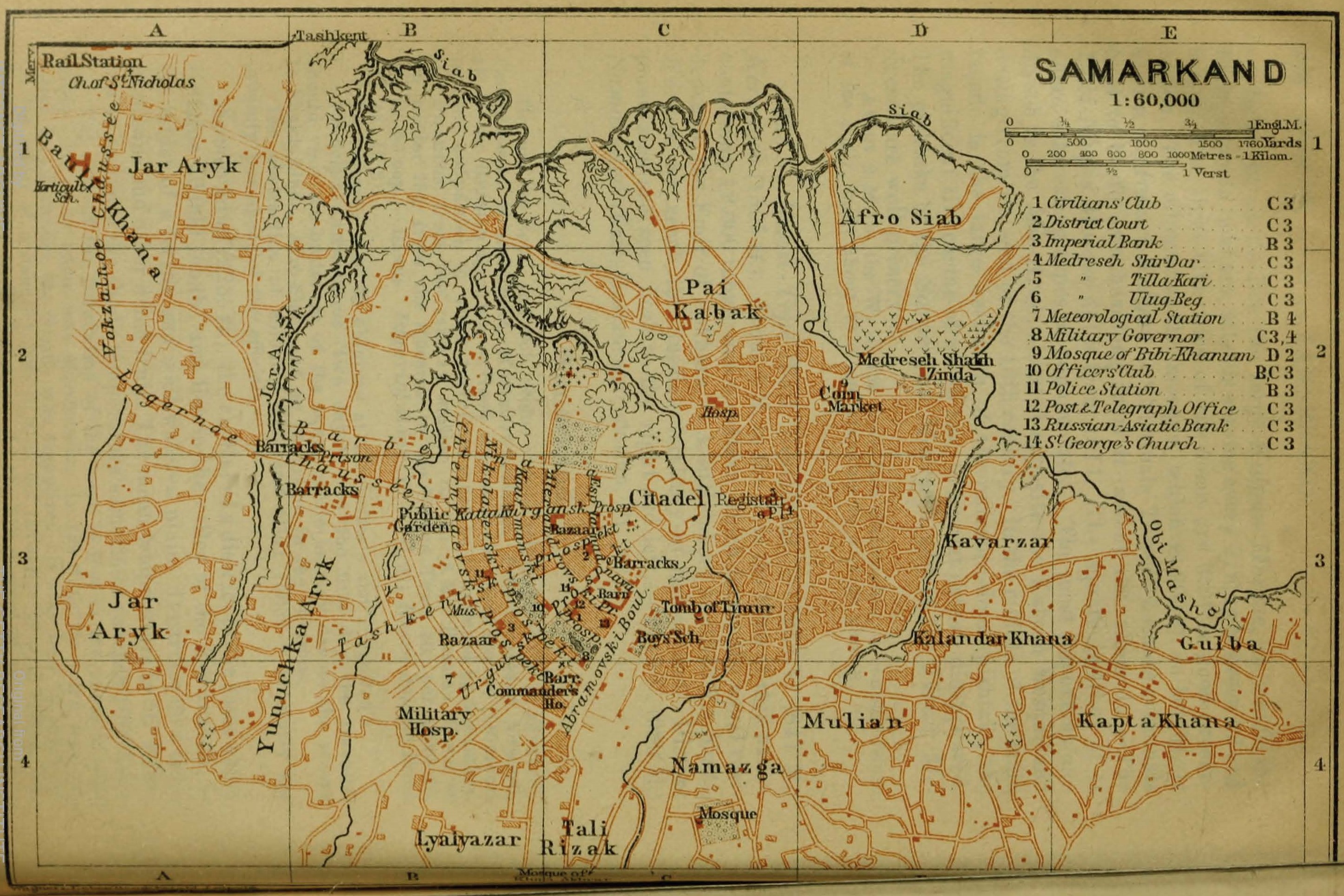
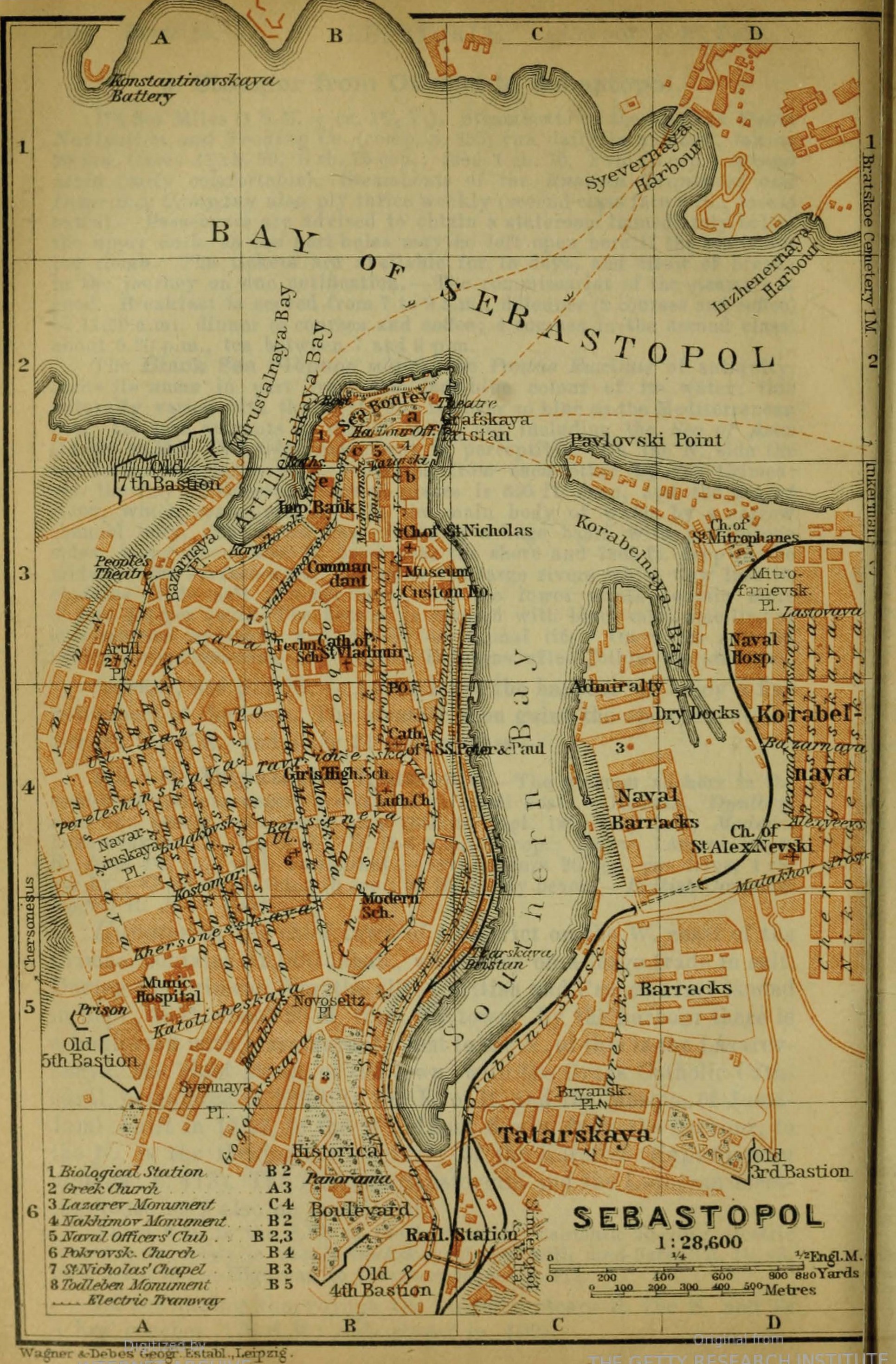
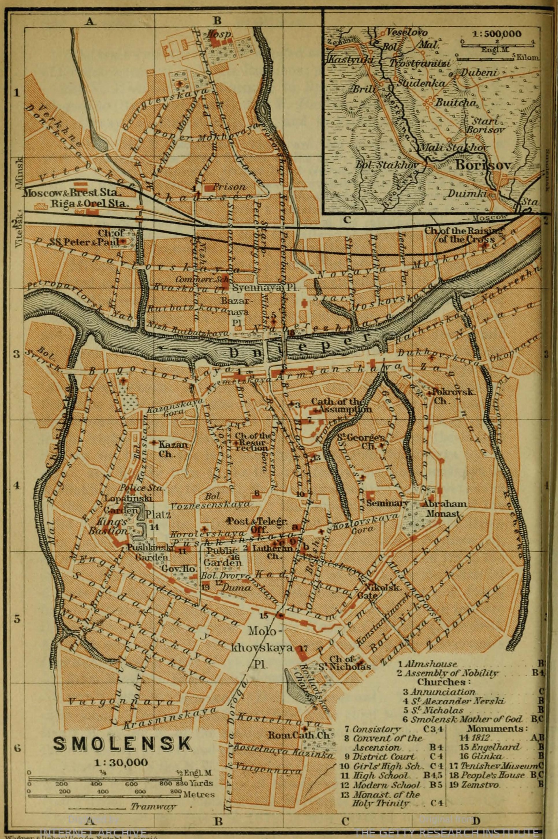
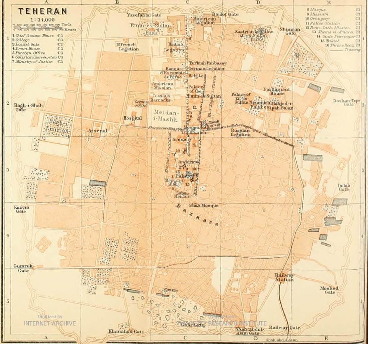
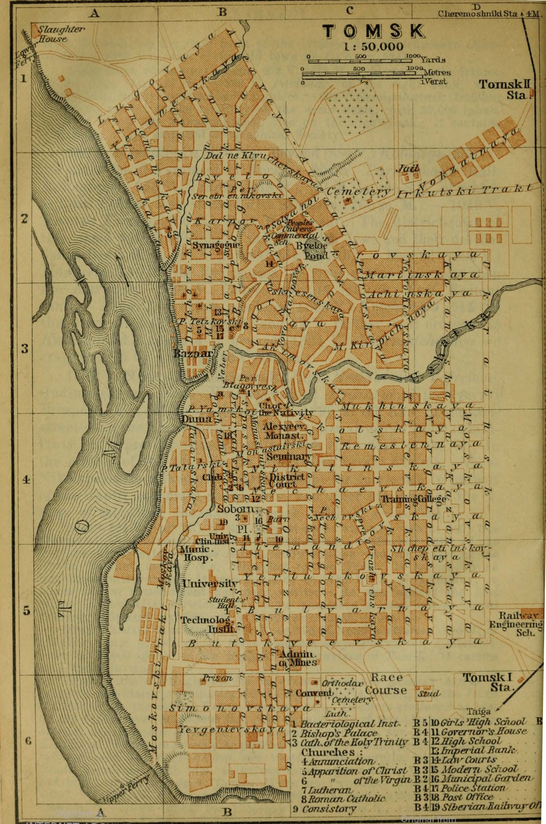
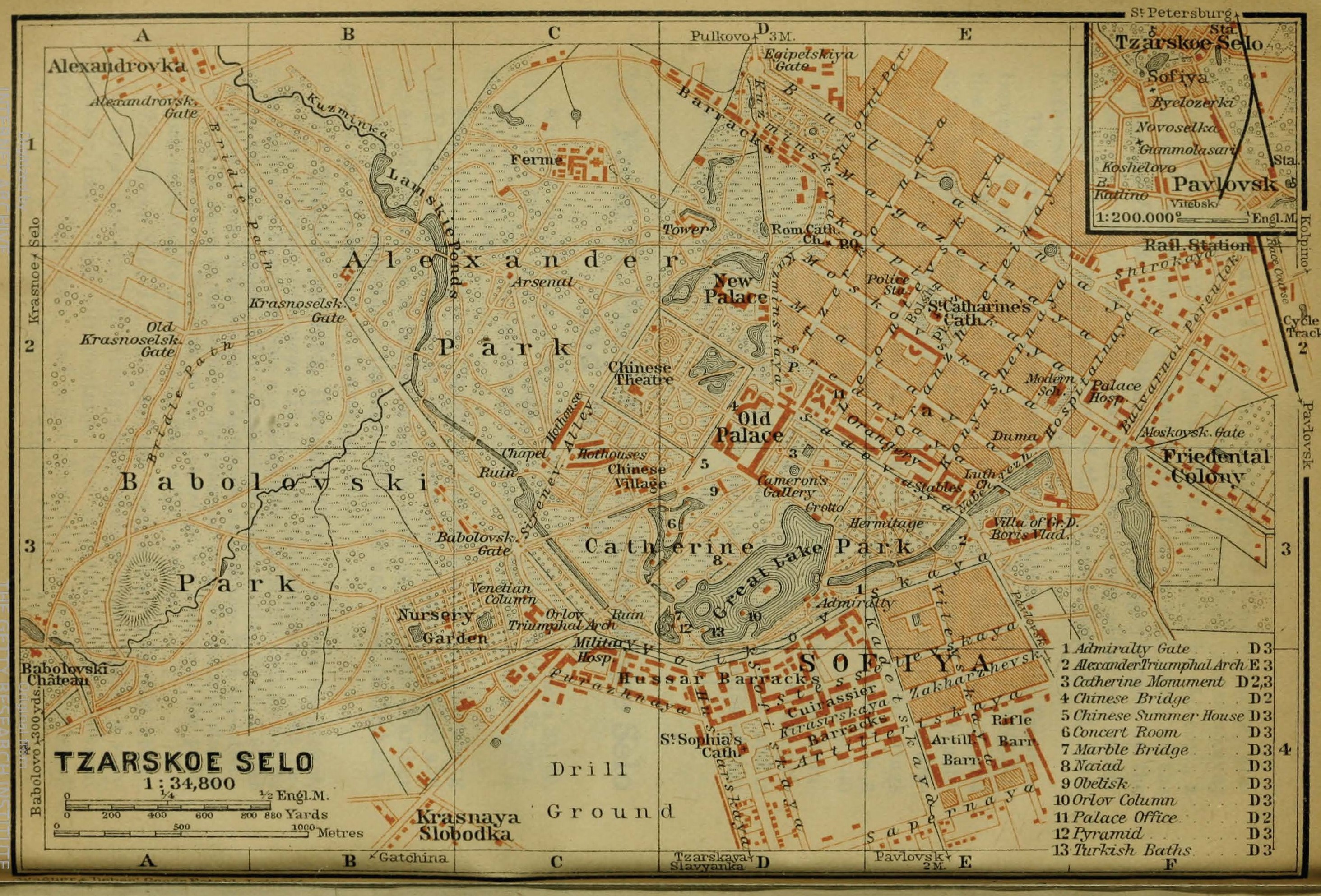
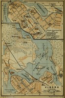
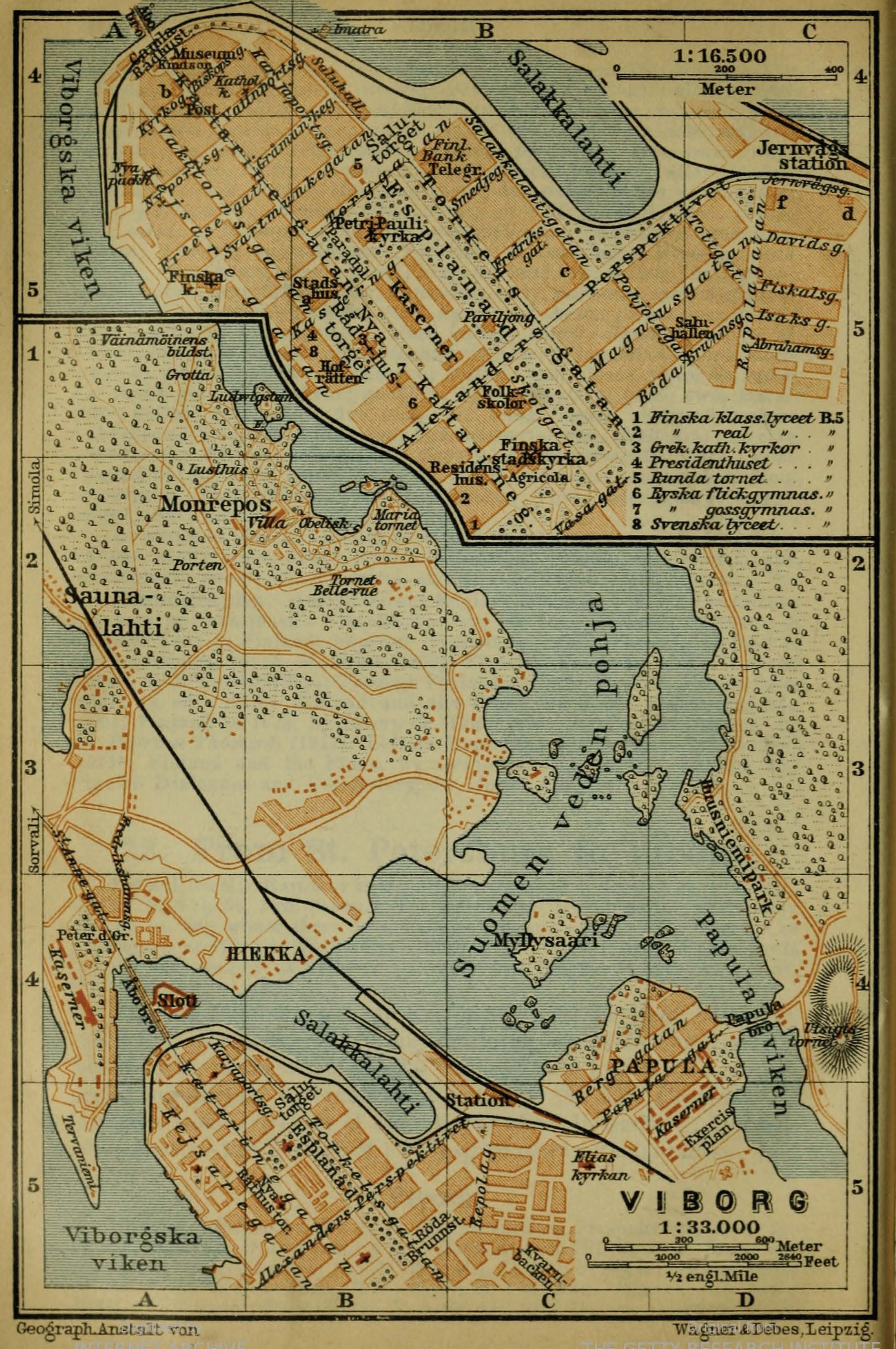
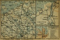
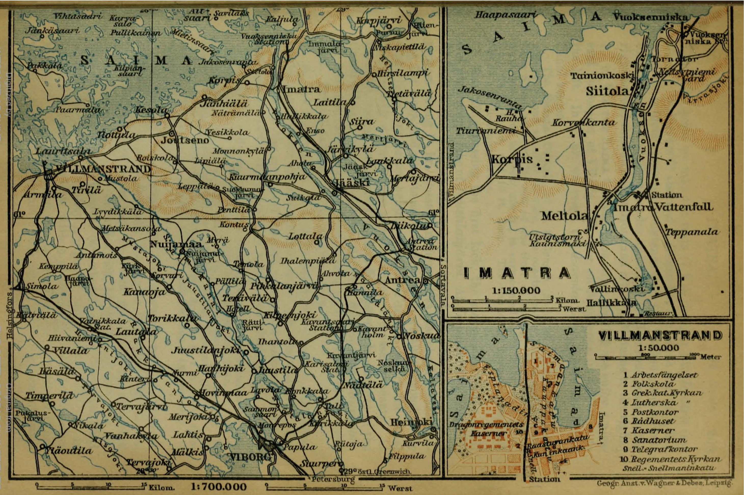
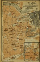
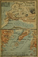
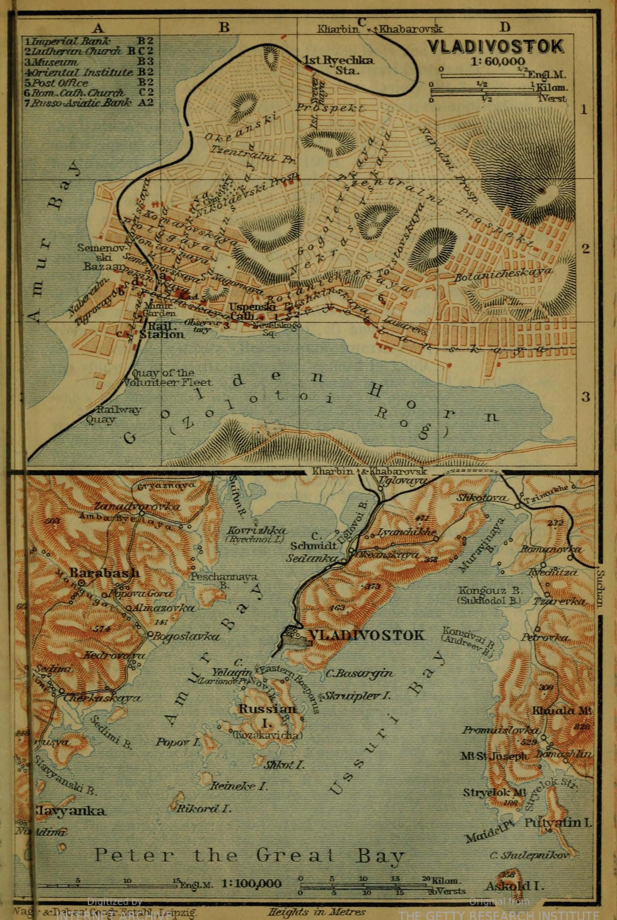
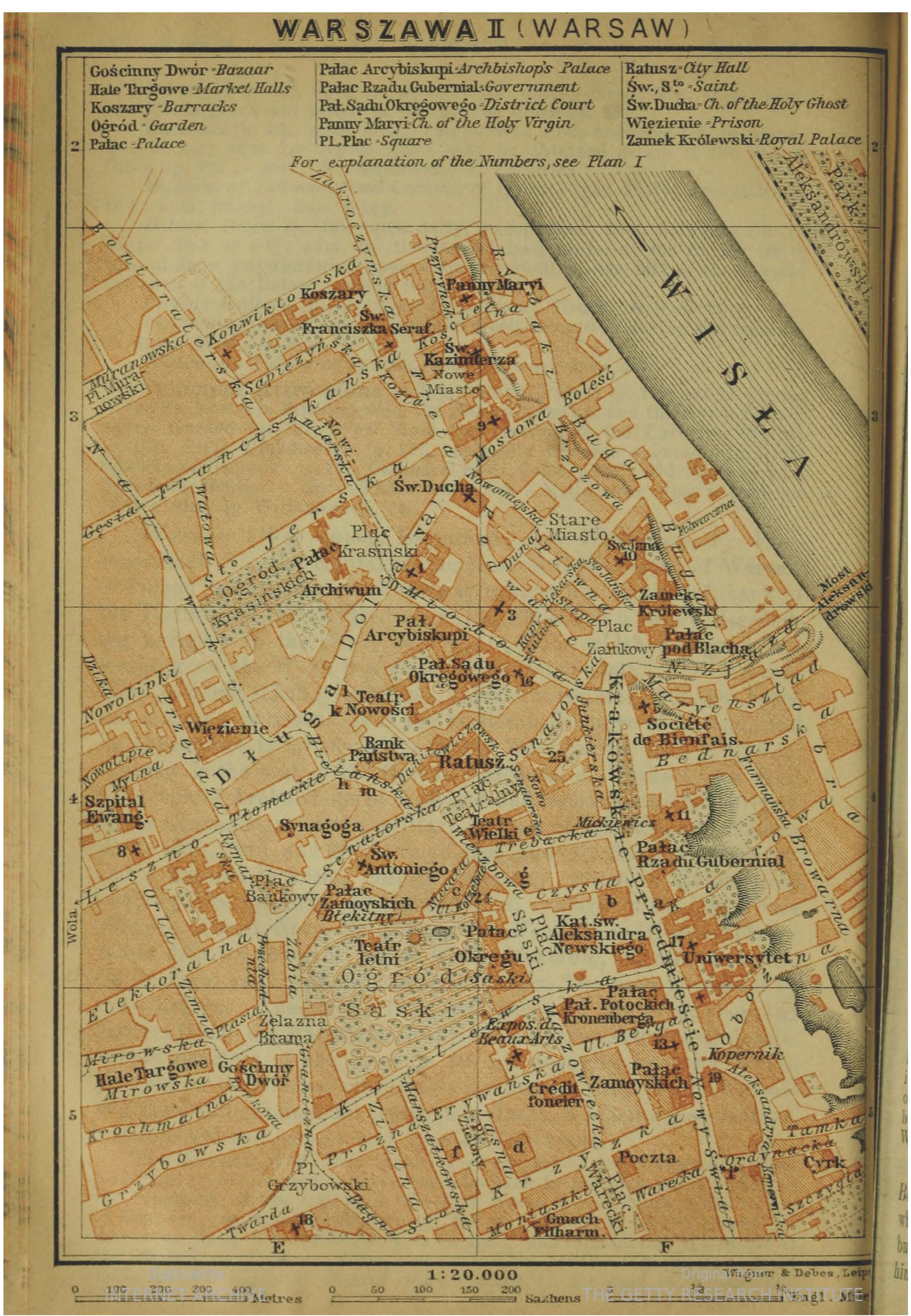
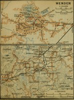
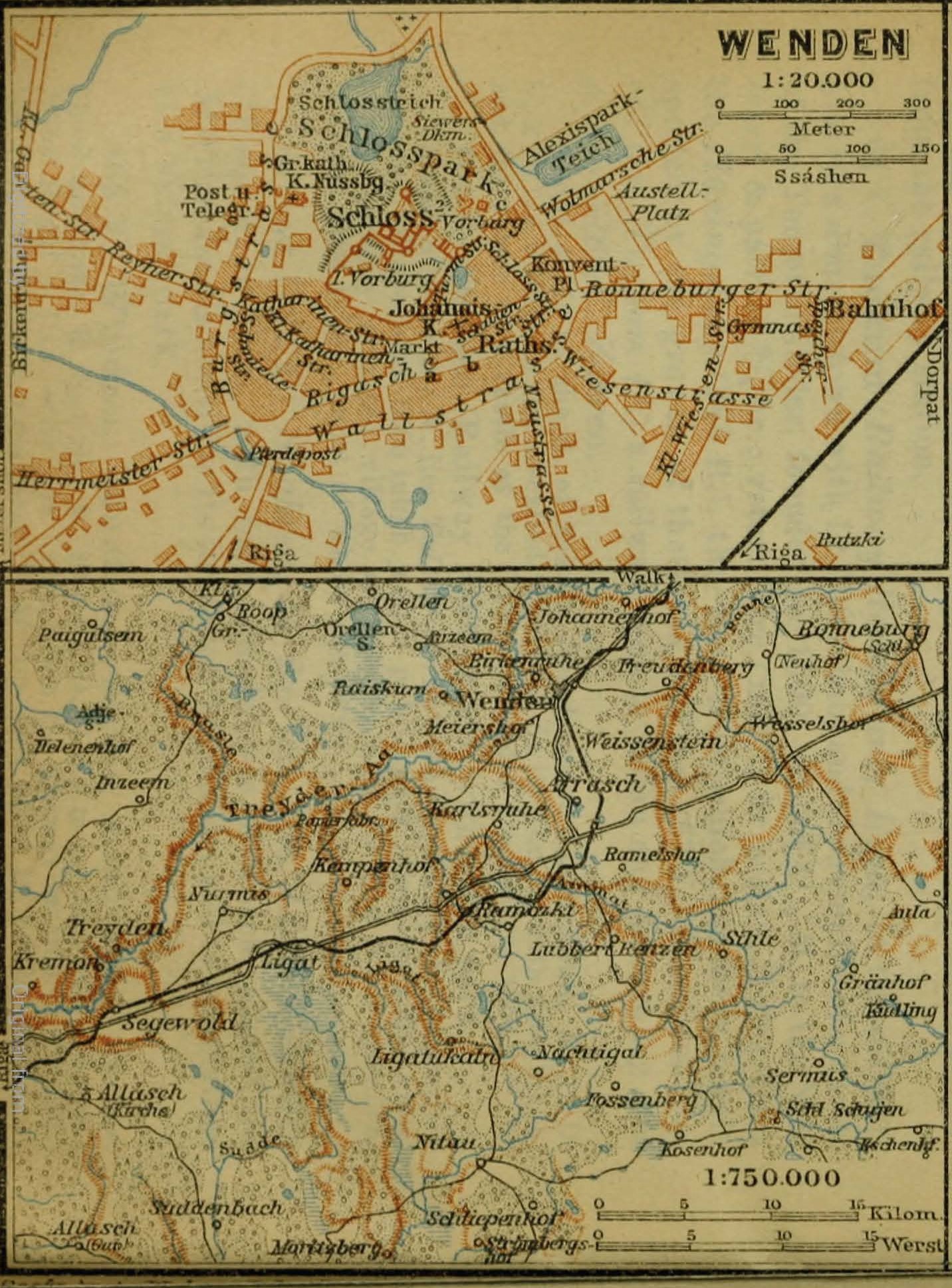
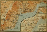
(There is nothing like a simple, declarative statement, is there?)What's that? You remain unconvinced? Then consider perusing this collection of town plans. The plans describe 49 locations within the Russian Empire, along with Peking (Beijing) and Teheran (Tehran). They were produced by an outstanding pair of cartographers, Heinrich Wagner and Ernst Debes, whose shop was adjacent to that of the Baedeker publishing house in Leipzig. Though the cartography is consistent throughout the set, the maps are printed in German, Swedish, French, and English, depending on location.
How to use this collection
- Enter the collection by clicking on any of the placemarks on the map or on any of the Gallery images.
- Use the arrows on the left and right sides of the screen to scroll through the collection. Click on the link at the top to return to this page.
- Once you have opened a plan page you will see the image of the plan itself. Below the image you will see a link to the "source." Clicking that link will open a new window with the full citation information for the plan, as well as a dynamic high-resolution viewer (at the bottom of the screen).
- Back on the plan page, be sure to click on any annotations to read more about the historical and/or spatial context. In some cases we have created annotations simply to draw your attention to important/interesting features.
- Follow the tags at the bottom of the page to explore the connections and commonalities among the mapped locations.
Why you might want to use the plans
Because these plans were produced as a set, they are perfectly positioned to tell stories about consistency and predictability. But if you look closely enough, they prompt some interesting questions about how Russia's urban spaces were organized, and about what they contained. They also prompt interesting questions about the geography of the empire itself.For example, you might notice that there is a meteorological station in Samarkand. You might want to ask yourself why it is located in that precise spot, why it is located in Samarkand, and where else in the empire you might find meteorological stations. What sort of data were Russian scientists collecting? To what use were they putting it?