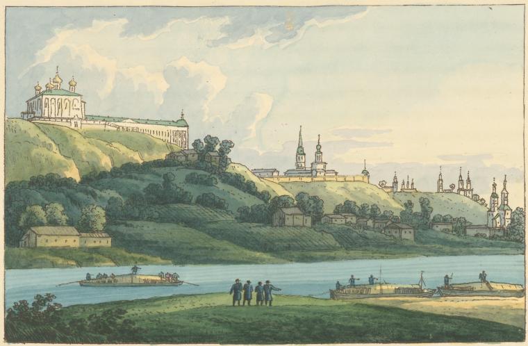
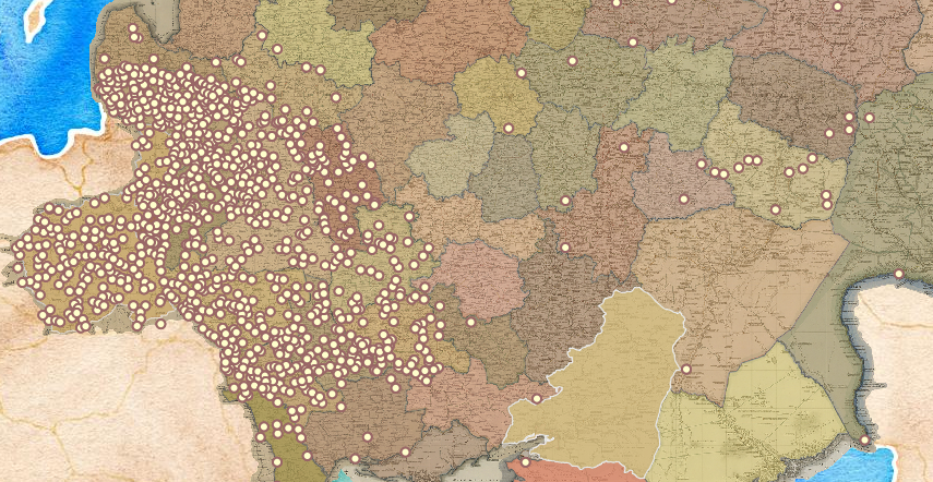
Settled places
Locating settlements is a crucial piece of the work of mapping history. So is describing them. Sorting them. Analyzing their similarities and differences. It is tempting to begin this task by applying categories familiar to us from other historical contexts. One could, for example, divide the populated places shown on the Geographical Atlas into urban and rural categories. According to this logic, the settlements would break down in this way:
- urban settlements: provincial towns, district towns, non-administrative towns, minor towns, large and mid-sized towns (Kingdom of Poland and the Grand Duchy of Finland), fortified and unfortified towns (Georgia)
- rural settlements: villages (those with churches and those without), pogosts, farmsteads, Cossack villages, and Protestant church parishes
- those with "administrative status": provincial towns, district towns, minor towns, villages (sela), Cossack villages, Protestant church parishes, and the "large" and "mid-sized" towns of the Kingdom of Poland and the Grand Duchy of Finland
- those without "administrative status": zashtatnye goroda, pripisnye goroda, villages (derevni), farmsteads
We could of course dispense with the map legends and classify settlements according to schemes that are either more illuminating or more entertaining:
- murder sites
- settlements within a day's walk of the imperial border
- settlements inhabited by more than three ethnic groups
- settlements that hosted annual fairs or participated in the tea trade
- settlements with multiple taverns
But we can, and should, start with location.
After all, where matters. Right?