The Imperiia ProjectMain MenuResearch Dashboardsmaps, visualizations, and moreVeles: The Data CatalogOngoing ProjectsThe MapMaker PodcastEvery story starts somewhere.Teach with MapsGalleriesKelly O'Neilldc20b45f1d74122ba0d654d19961d826c5a557f5The Imperiia Project // Davis Center for Russian and Eurasian Studies, Harvard University
Ready for some spatial thinking?
12024-03-01T14:16:28-05:00Kelly O'Neilldc20b45f1d74122ba0d654d19961d826c5a557f594plain2024-03-01T14:20:48-05:00Kelly O'Neilldc20b45f1d74122ba0d654d19961d826c5a557f5Add a spatial element to any of the questions above by studying patterns in distribution, density, and proximity. Start by exploring patterns visible at the provincial level, paying attention to the differences between urban areas (town lands) and rural areas (district lands). When you think you have a sense of how events were distributed across the provinces, try moving to the town level and analyzing variation across the space of a single province. What spatial factors might help explain the patterns and variations you see on the maps? Does proximity to major cities or bodies of water play a role? Do provinces adjacent to one another display similar patterns? What is the role of latitude or longitude? (Just for starters!)
This page is referenced by:
12024-03-06T00:01:59-05:00Sparks your curiosity, right?10But how can you find answers if you aren't sure what questions to ask?plain2024-03-06T14:12:23-05:00But how can you find answers if you aren't sure what questions to ask?
Try selecting a question from the list below and using the maps to find the answer. Fair warning #1: the questions are straightforward and require no knowledge of imperial history to answer. Fair warning #2: extracting information from maps requires careful observation and extracting information from interactive maps requires lots of clicking.
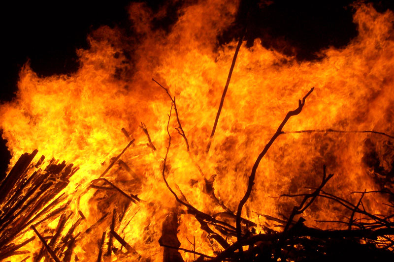
Then – this is the fun part – ask yourself what factors might explain what you found. Compose two or three hypotheses or research questions (in other words, questions that begin with the words “why” or “how”), and start digging into the history books. We recommend you run, don't walk, to the library to find Cathy Frierson’s groundbreaking All Russia is Burning! A cultural history of fire and arson in late Imperial Russia (University of Washington Press, 2002).
Question Bank
How many arson events took place each year in the province that interests you most?
What percentage of fire events were caused by arson in that province each year? Do the adjacent provinces have similar rates?
What percentage of fire events took place in the countryside (district lands), as opposed to the town lands, of each province each year? Are the patterns the same in the northern, southern, eastern, and western areas?
What if we take area into consideration: How many fire events took place per square verst (similar to a kilometer) in the countryside, as opposed to the town lands?
How many households burned in the district lands of each province each year? Compare this with the town lands.
What percentage of all households in the district lands of each province burned each year?
What percentage of all households in the town lands of each province burned each year?
Of all the burned households in district lands in a given year, what percentage were in each province?
Of all the burned households in town lands in a given year, what percentage were in each province?
Which province saw the highest cost (in rubles) of fire events? Compare countryside and town lands. The provinces are divided into 4 classes: how many are in the highest tier (highest cost)? How many are in the lowest?
Choose 3 provinces. Which had the difference between cost (in rubles per square verst) of fire events over the 5 year period? Was the cost gap the same in countryside and town lands?
What was the cost of fire events in the town lands of each province each year calculated as rubles per burned household?