The Imperiia ProjectMain MenuResearch Dashboardsmaps, visualizations, and moreVeles: The Data CatalogOngoing ProjectsThe MapMaker PodcastEvery story starts somewhere.Teach with MapsGalleriesKelly O'Neilldc20b45f1d74122ba0d654d19961d826c5a557f5The Imperiia Project // Davis Center for Russian and Eurasian Studies, Harvard University
Vajgat straits
12019-07-24T02:27:30-04:00Kelly O'Neilldc20b45f1d74122ba0d654d19961d826c5a557f591image from the Geographical Atlas; composite mapplain2019-07-24T02:27:30-04:00Kelly O'Neilldc20b45f1d74122ba0d654d19961d826c5a557f5
This page is referenced by:
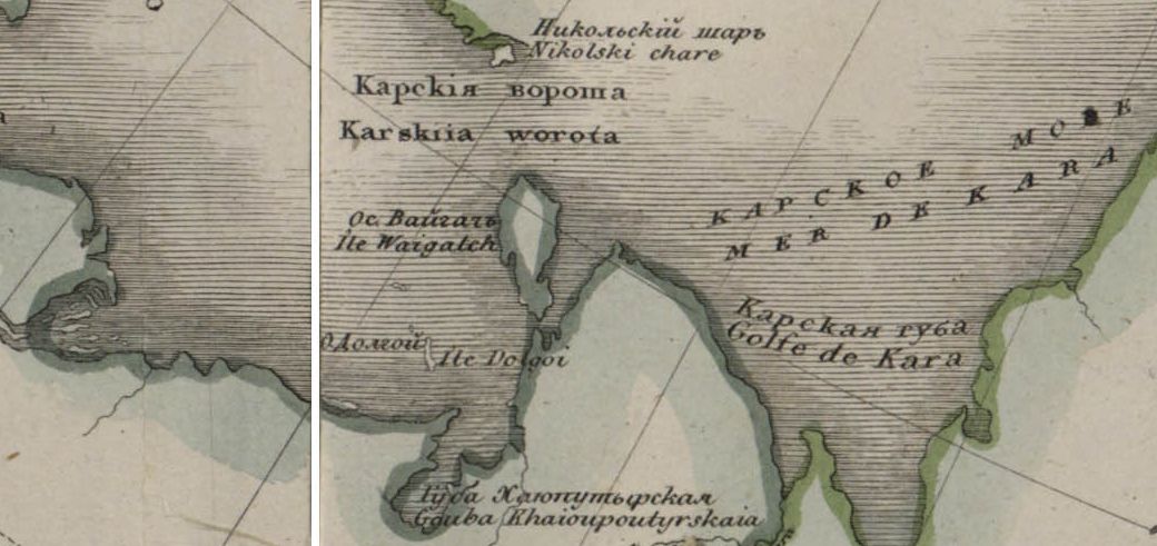
12019-07-24T02:17:25-04:00Vaigat straits1gazetteer entryplain2019-07-26T01:59:24-04:00Short Universal Geography Toponym: Vaigatskii proliv Note: The Vaigat straits connect the European and Asiatic parts of the Northern Ocean.
[Map note: The straits are not named on the Geographical Atlas. They are located between Vaigat Island (Ile. Waigatch) and the mainland, just west of the Kara Sea.]