Imperiia Team
1 2025-08-19T11:51:55-04:00 Paul Vadan f46fd2a7a6d2ab1ecca0ec13c84118eaf61facfa 9 1 plain 2025-08-19T11:51:55-04:00 Paul Vadan f46fd2a7a6d2ab1ecca0ec13c84118eaf61facfaThis page is referenced by:
-
1
2018-01-23T02:25:36-05:00
The Imperiia Project
322
image_header
2025-08-25T20:10:59-04:00
Latest News
The Black Sea Lab is underway. The lab is an exploratory collaboration across research initiatives at the Davis Center, consisting of a series of conversations to assess scholarly trends and new avenues of inquiry related to security challenges in the Black Sea region.
As part of the initiative, we invite you you get to know the "wine-dark sea" through our crowd-sourced photo archive.Wondering what we are up to? Scroll through our activity timeline.
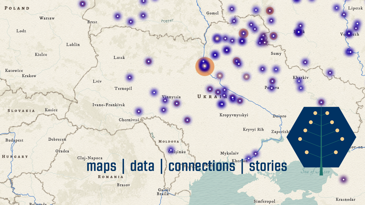
We build INTERACTIVE MAPS, publish downloadable DATA, and design large-scale PROJECTS that aim to solve key problems in spatial humanities for ourselves and others.
What We DoWhy We Do It
What can we learn about the past by thinking about space? What can we learn about history by studying maps? What can we learn about empires by mapping them?We love these questions. They prompt us to work in new ways, produce new knowledge, and build new communities. We believe it is hard to understand history without a good map, so we have made it our job to make as many good maps as possible.
What does it mean to map the history of an empire?
Our maps - and the projects we build around them - study the history of the Russian Empire which, when it collapsed in 1917, contained territory we now think of as the Russian Federation, Ukraine, Belarus, Estonia, Latvia, Lithuania, Finland, Poland, Moldova, Georgia, Armenia, Azerbaijan, Kyrgyzstan, Turkmenistan, Tajikistan, Uzbekistan, Kazakhstan. (Tsar Alexander II sold Alaska in 1867, otherwise the United States would be on that list as well.)
It isn't an easy or straightforward task. The boundaries of the empire were constantly changing. Within that shifting space, we study the implications of distance and proximity, distribution and density, accessibility and isolation. We try to find new ways of navigating between the micro and macro scales of such a vast political terrain. We try to identify commercial and cultural networks by tracing the movement of goods?. We try to figure out where the rivers - and relics and orchards and pastures - used to be. Because if we can reconstruct the spatial structure of the past, perhaps we can better understand what "empire" meant in practice.In other words, our goal is to move from locating things, places, and people to understanding how location shaped the lives of individuals and larger communities. We want to move from asking "where?" to understanding why "where" mattered.
Who We Are
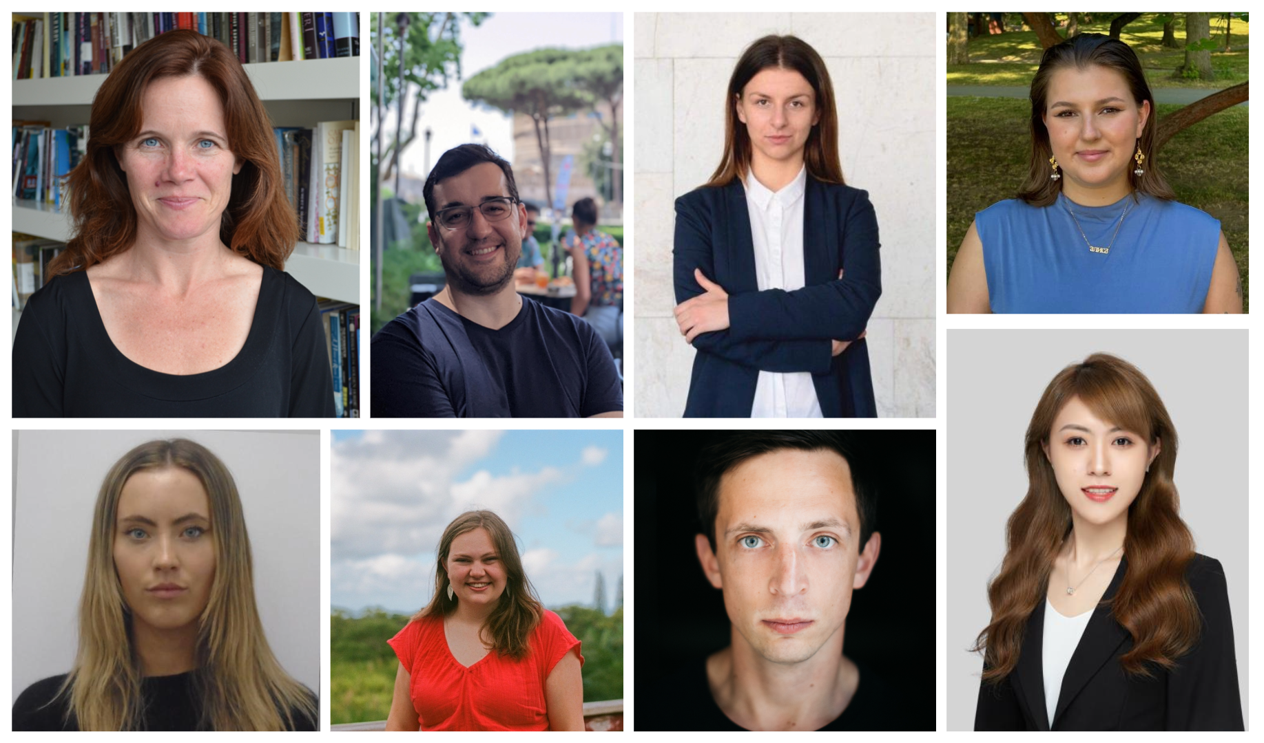
Students of history, political science, economics, literature, linguistics, computer science, and architecture. We are the kind of people who willingly pore over maps, design databases, comb through endless volumes of half-baked statistics, chase down the coordinates of long-forgotten monasteries, extract itineraries from rambling travel accounts, perform spatial joins, manage projections... Whether we are in for a semester or the long haul, we are a team.
Read more about us here!
Follow @ImperiiaProject
The Imperiia Project is a digital scholarship initiative of the Davis Center for Russian and Eurasian Studies. In addition, it has benefitted enormously from the support of the National Endowment for the Humanities, Harvard Library, and the Harvard Data Science Initiative. -
1
2018-02-07T04:02:18-05:00
Who We Are
26
[about]
plain
2025-08-19T11:57:13-04:00