Gold Standard
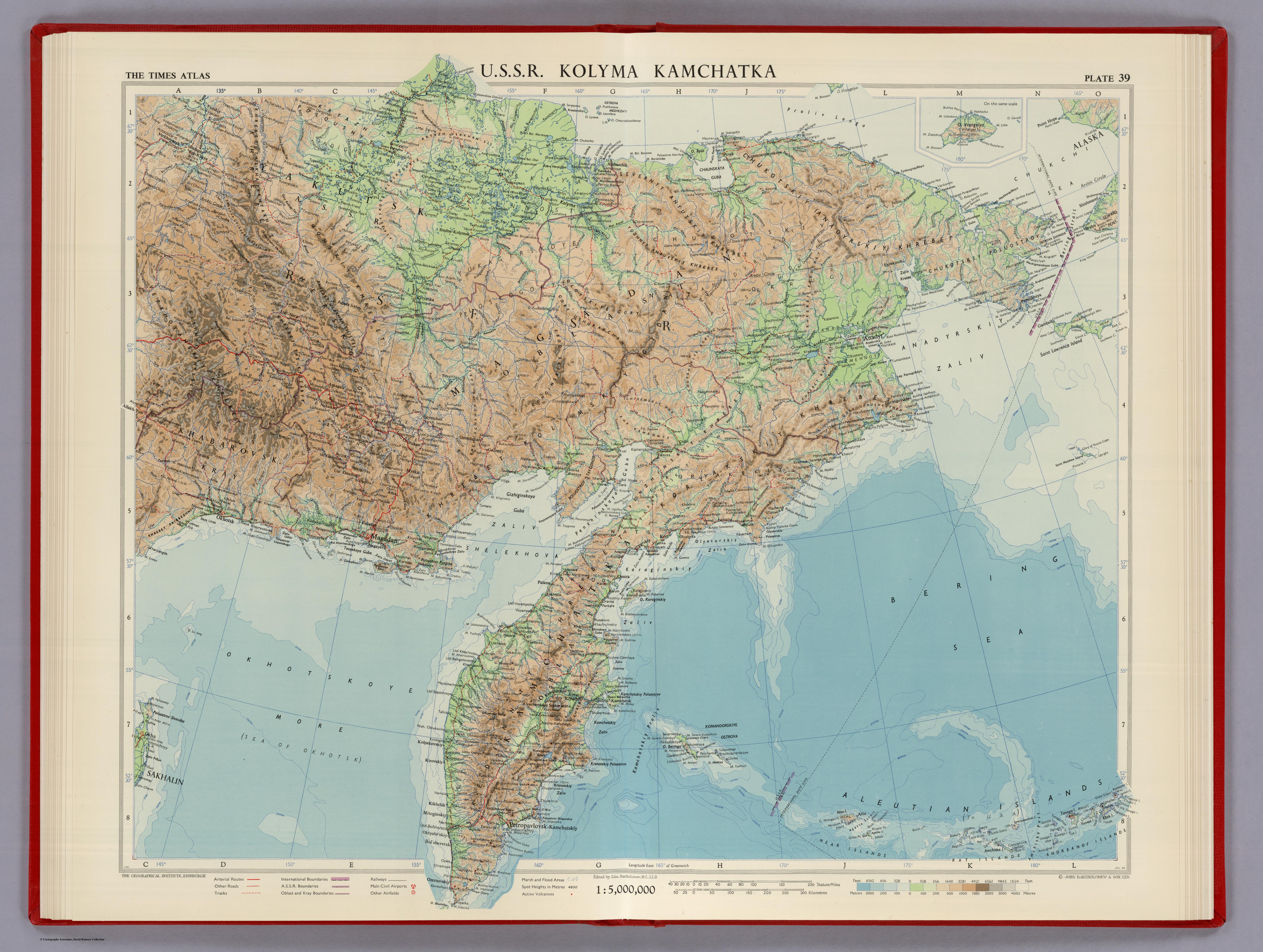
1 2020-05-01T05:41:07-04:00 Kelly O'Neill dc20b45f1d74122ba0d654d19961d826c5a557f5 9 3 Full Title: U.S.S.R. Kolyma, Kamchatka. Plate 39, V. II // John Bartholomew (Houghton Mifflin Co.: Boston, 1959) // David Rumsey Map Collection. Catalog permalink: https://www.davidrumsey.com/luna/servlet/s/8dc9z2 plain 2020-05-08T16:13:40-04:00 Kelly O'Neill dc20b45f1d74122ba0d654d19961d826c5a557f5This page has tags:
- 1 2020-04-30T14:17:34-04:00 Kelly O'Neill dc20b45f1d74122ba0d654d19961d826c5a557f5 Pairing 8 (Round of Sixteen) Kelly O'Neill 6 plain 2020-05-07T18:42:31-04:00 Kelly O'Neill dc20b45f1d74122ba0d654d19961d826c5a557f5
This page is referenced by:
-
1
2020-05-01T05:21:01-04:00
Gold Standard
6
The blue blood. Map of kings. Gold-stamped, gilded, and linen-bound.
plain
2020-05-04T19:23:48-04:00
1959
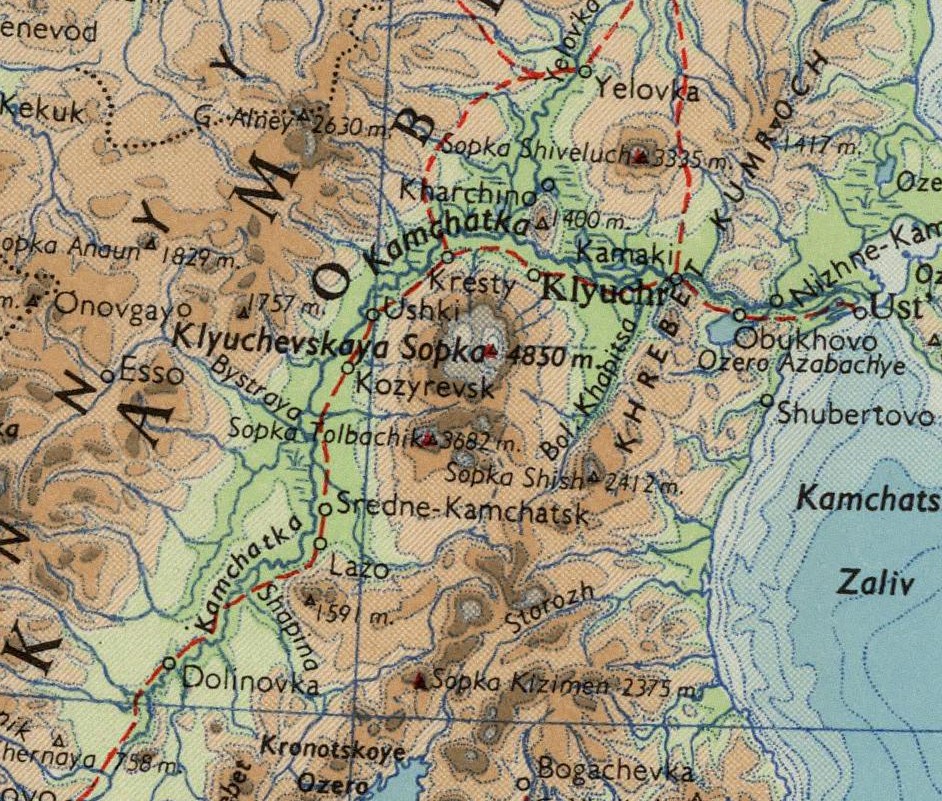
This is a plate from Volume II of The Times Atlas of the World: Mid-Century Edition. The first version of the atlas was published in London in 1895. The second generation came in 1920, this time produced under the direction of John George Bartholomew of the Edinburgh Geographical Institute.
The third generation 5-volume Mid-Century Edition arrived in 1955-1959 and became an instant classic. It presented readers with 120 full color double-page maps, 200,000 placenames, and all the trendiest places of note... such as rocket-launching locations and atomic energy installations.
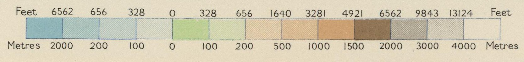
In 1910, King George V appointed John George Bartholomew (1860-1920) Geographer and Cartographer to the King of Scotland. Bartholomew was the grandson of the founder of Bartholomew and Son Ltd., one of the most famous map publishers of all time. He co-founded the Royal Scottish Geographical Society, published atlases of world commerce, zoogeography (the Soviets weren't the only ones!), even a Handy atlas of the British Empire. He worked with the likes of Cecil Rhodes and Sir Ernest Shackleton to make maps of their discoveries. He helped pioneer map genres such as street maps, cycling maps, and road maps. He developed the method of colored contour layers. And though he died in Portugal before the Times Survey Atlas was published, he planned it out in its entirety.
Oh. And he named Antarctica.