gardens still detail
1 2024-03-07T11:59:09-05:00 Paul Vadan f46fd2a7a6d2ab1ecca0ec13c84118eaf61facfa 9 1 plain 2024-03-07T11:59:09-05:00 Paul Vadan f46fd2a7a6d2ab1ecca0ec13c84118eaf61facfaThis page is referenced by:
-
1
2018-01-23T02:25:36-05:00
About Imperiia
158
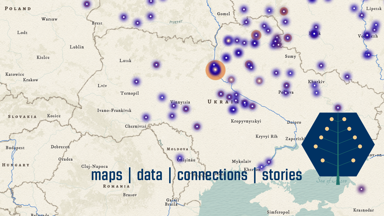
maps | stories | data | connections
plain
2024-04-23T11:16:34-04:00
What can we learn about the past by thinking carefully about space?
What can we learn about history by studying maps?
What can we learn about empires by mapping them?
At the Imperiia Project, we love these questions. They prompt us to work in new ways, produce new knowledge, and build new communities. We believe it is hard to understand history without a good map, so we have made it our job to make as many good maps as possible.
What does it mean to map the history of an empire? It isn't an easy task. The boundaries of the empire were constantly changing. Within that space, what were the implications of distance and proximity, distribution and density, accessibility and isolation? Can we find new ways of navigating between the micro and macro scales of such a vast political terrain? Can we identify commercial and cultural networks by tracing the movement of goods? Can we find out where the rivers - and relics and orchards and pastures - used to be? And if we can, does the work of reconstructing local life change the way we understand what "empire" meant?
Our maps - and the projects we build around them - study the history of the Russian Empire which, when it collapsed in 1917, contained territory we now think of as the Russian Federation, Ukraine, Belarus, Estonia, Latvia, Lithuania, Finland, Poland, Moldova, Georgia, Armenia, Azerbaijan, Kyrgyzstan, Turkmenistan, Tajikistan, Uzbekistan, Kazakhstan. (Tsar Alexander II sold Alaska in 1867, otherwise the United States would be on that list as well.)In a nutshell, our goal is to move from locating things, places, and people to understanding how location shaped the lives of individuals and larger communities. We want to move from asking "where?" to understanding why "where" mattered.
On this site, you will find interactive dashboards, data sets, and timelines, along with image galleries and even a few games. Maps are everywhere. We hope our content will help you see the past in a new way... and ask more questions.
Remember, it is hard to understand a good map without knowing its history.
The Imperiia Project is a digital scholarship initiative of the Davis Center for Russian and Eurasian Studies. In addition, it has benefitted enormously from the support of the National Endowment for the Humanities, Harvard Library, and the Harvard Data Science Initiative. -
1
2024-03-07T11:48:21-05:00
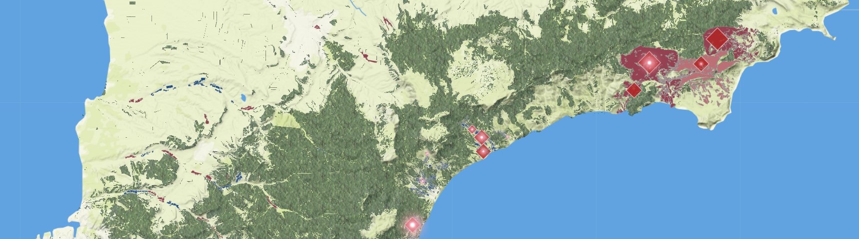
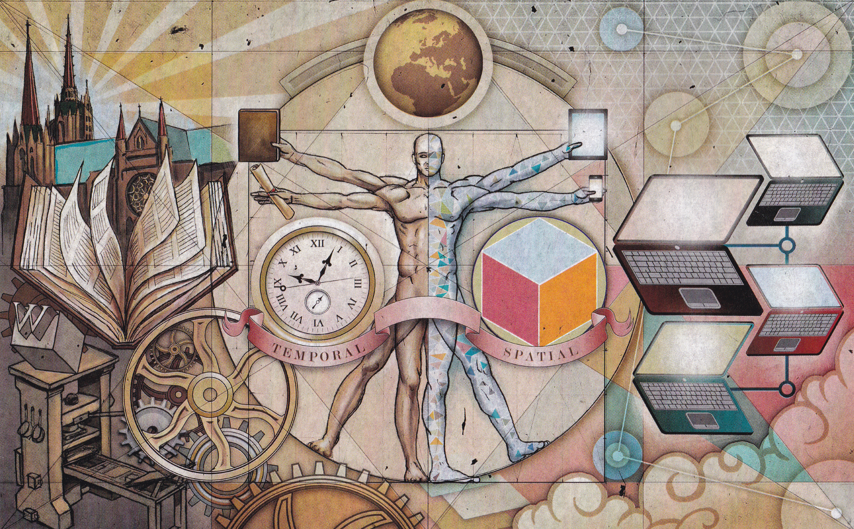
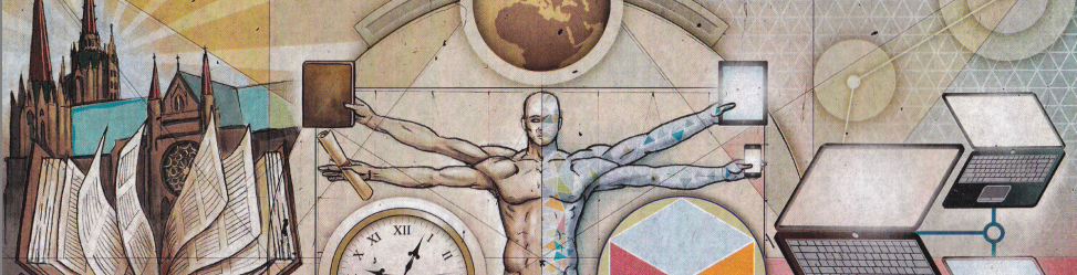
Ongoing Projects
51
visual_path
2025-09-24T09:38:00-04:00
You know the joke: a historian, a map, and a microchip walk into a bar...
Doing spatial history requires maintaining a decent sense of humor. It also means relying on the combined expertise of social scientists, humanists, data scientists, librarians, and GIS specialists. Together we develop ways to utilize sources that have been neglected for decades (if not centuries) because they are hard to work with. The volume of dry statistical tables that makes most people run in the opposite direction? For us it is the stuff of dreams. The map most people treat as an illustration? For us it is the ultimate primary source. We like to experiment. And each project in our portfolio has a trio of goals:- to create new historical knowledge;
- to solve a shared methodological problem;
- to produce a user-friendly and publicly-accessible piece of history.