The Imperiia Project: a spatial history of the Russian EmpireMain MenuProjectsDashboardsData CatalogMapStoriesGalleriesGamesWho said history was boring?Teach Our ContentCiting the ProjectKelly O'Neilldc20b45f1d74122ba0d654d19961d826c5a557f5The Imperiia Project // Davis Center for Russian and Eurasian Studies, Harvard University
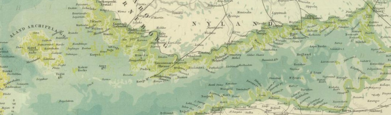
detail of the Basin of the Baltic in Johnston's Royal Atlas of Modern Geography
12020-11-09T16:48:56-05:00London to Berlin22timeline2020-11-09T22:26:18-05:002020-11-09T16:04The Nord Express left Charing Cross station just now and I am on it, bound for Berlin. Tucked into a private compartment. Letting London recede from view and pondering a cup of tea.
We will cross the English Channel by train ferry. If by some miracle we don't sink before reaching Dunkirk, we continue on through Ostend, Brussels, Cologne, and Hanover. Berlin tomorrow.
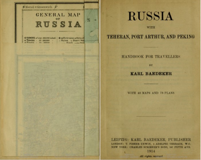
Which means I have time to contemplate fate and study Johnston's Royal Atlas. I was intentionally frivolous yesterday. Spent 4 shillings on the full atlas, mounted on cloth and folded into a case, instead of 3 shillings on a single sheet. Why have just "European Russia" when one could also have the Kingdom of Poland, Central Asia, and the rest of the world to boot?
Besides, I fell in love with the map of the Baltic Sea. The frayed edges of the empire, dipped in salt.
12020-11-09T22:02:27-05:00for the sake of a sea map7Why have just "European Russia" when one could also have the Kingdom of Poland, Central Asia, and the rest of the world to boot?plain2020-11-10T11:51:50-05:002020-11-09T16:20Why have just "European Russia" when one could also have the Kingdom of Poland, Central Asia, and the rest of the world to boot?
Besides, I fell in love with the map of the Baltic Sea. The frayed edges of the empire, dipped in salt.