The Imperiia ProjectMain MenuResearch Dashboardsmaps, visualizations, and moreVeles: The Data CatalogOngoing ProjectsThe MapMaker PodcastEvery story starts somewhere.Teach with MapsGalleriesKelly O'Neilldc20b45f1d74122ba0d654d19961d826c5a557f5The Imperiia Project // Davis Center for Russian and Eurasian Studies, Harvard University
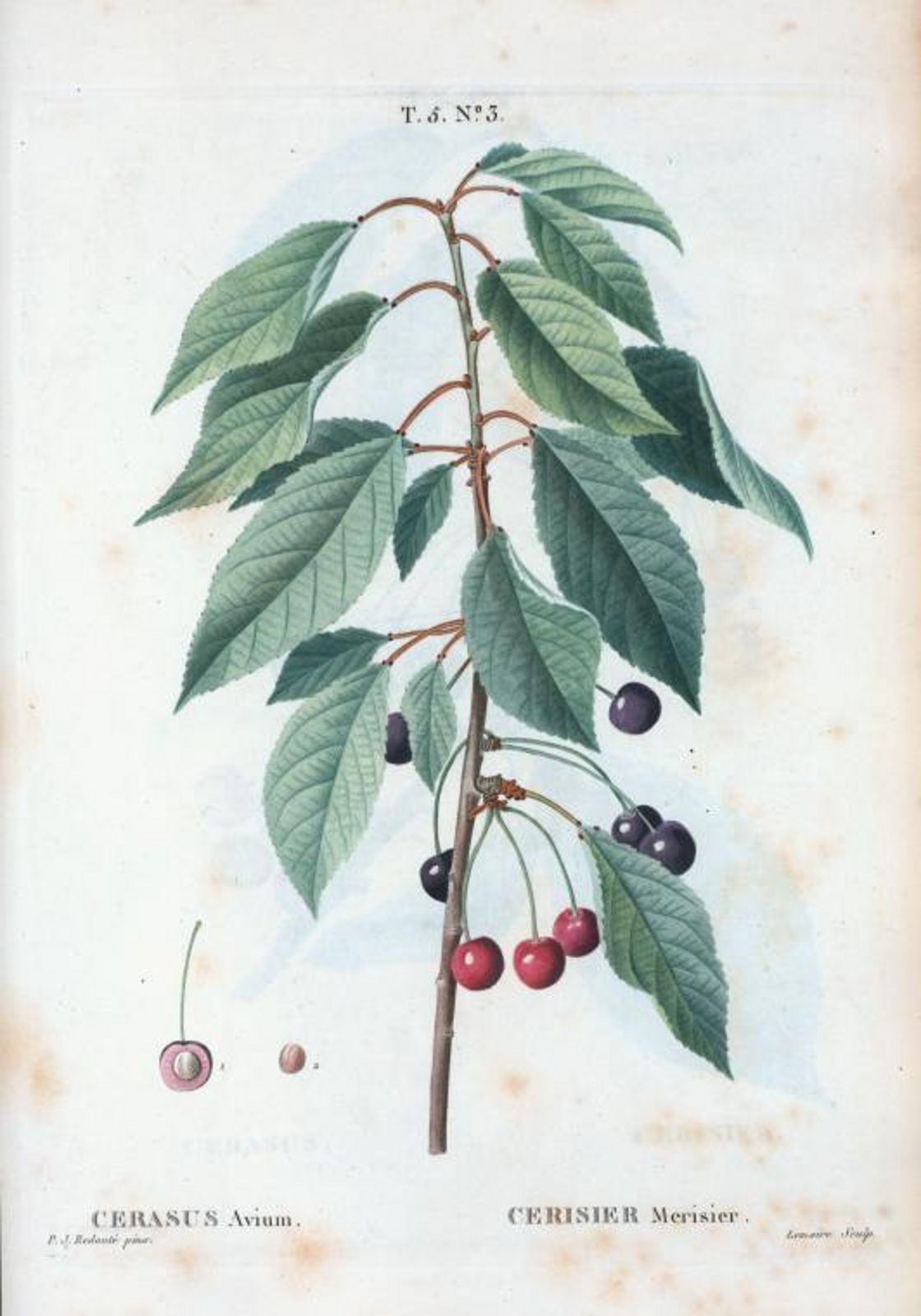
Cerasus avium [Sweet cherry]
12022-07-07T09:25:45-04:00Kelly O'Neilldc20b45f1d74122ba0d654d19961d826c5a557f592Botanical illustration by Pierre Joseph Redouté, 1801-1819plain2022-07-07T09:25:59-04:00Kelly O'Neilldc20b45f1d74122ba0d654d19961d826c5a557f5
This page has tags:
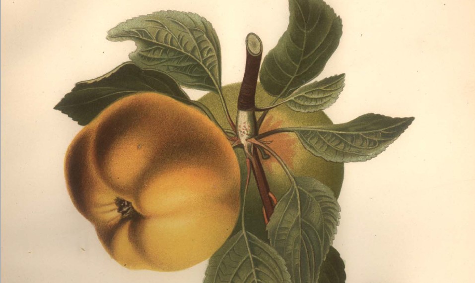
12022-07-07T08:03:41-04:00Kelly O'Neilldc20b45f1d74122ba0d654d19961d826c5a557f5Treatise on French TreesKelly O'Neill12botanical dictionary by Duhamelstructured_gallery2022-07-07T15:19:24-04:00Kelly O'Neilldc20b45f1d74122ba0d654d19961d826c5a557f5
Prevalence in tree population: 4% (623 trees) Occurrence rate: 76%
Wild cherry, also known as sweet cherry, had a substantial presence in the gardens of Mishati and Kuchuk Uzen. 25% of all sweet cherries were near Kuchuk Uzen, and 29% near Sudak.
Karl Gablits identifies the tree as guignier (a French term based on the old Celtic word kign) - known throughout Europe as sweet cherry or wild cherry. It is an uncultivated tree that spreads, naturally, through forests.
Where did imperial officials count trees?
Move your cursor over the map below. White rectangles will appear showing the locations of villages with orchards containing sweet cherries.