The Imperiia ProjectMain MenuResearch Dashboardsmaps, visualizations, and moreVeles: The Data CatalogOngoing ProjectsThe MapMaker PodcastEvery story starts somewhere.Teach with MapsGalleriesKelly O'Neilldc20b45f1d74122ba0d654d19961d826c5a557f5The Imperiia Project // Davis Center for Russian and Eurasian Studies, Harvard University
Location of the town market
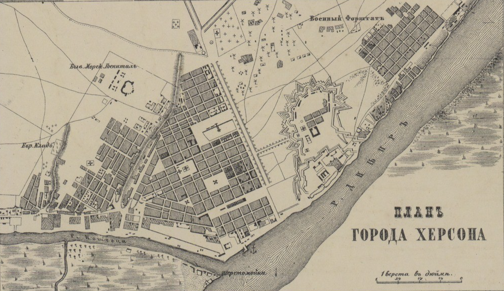
12024-09-19T10:42:37-04:00Kelly O'Neilldc20b45f1d74122ba0d654d19961d826c5a557f592plain2024-09-19T10:45:18-04:00Kelly O'Neilldc20b45f1d74122ba0d654d19961d826c5a557f5Although this map was made almost a century after the "rebellion," the layout of the town center seems to have held steady over the years. We tracked down a map from 1856 that confirms the same location of the market.
Contents of this annotation:
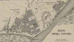
12024-09-19T10:41:40-04:00Kelly O'Neilldc20b45f1d74122ba0d654d19961d826c5a557f5Plan of the Town of Kherson (1871)3This plan was published as part of the "Detailed Atlas of the Russian Empire" produced by the Il'yin Cartographic Publishing House. Move your cursor over the image to find the location of the market you have heard so much about.plain2024-09-19T11:07:40-04:00Kelly O'Neilldc20b45f1d74122ba0d654d19961d826c5a557f5