The Imperiia Project
What can we learn about the past by studying space?
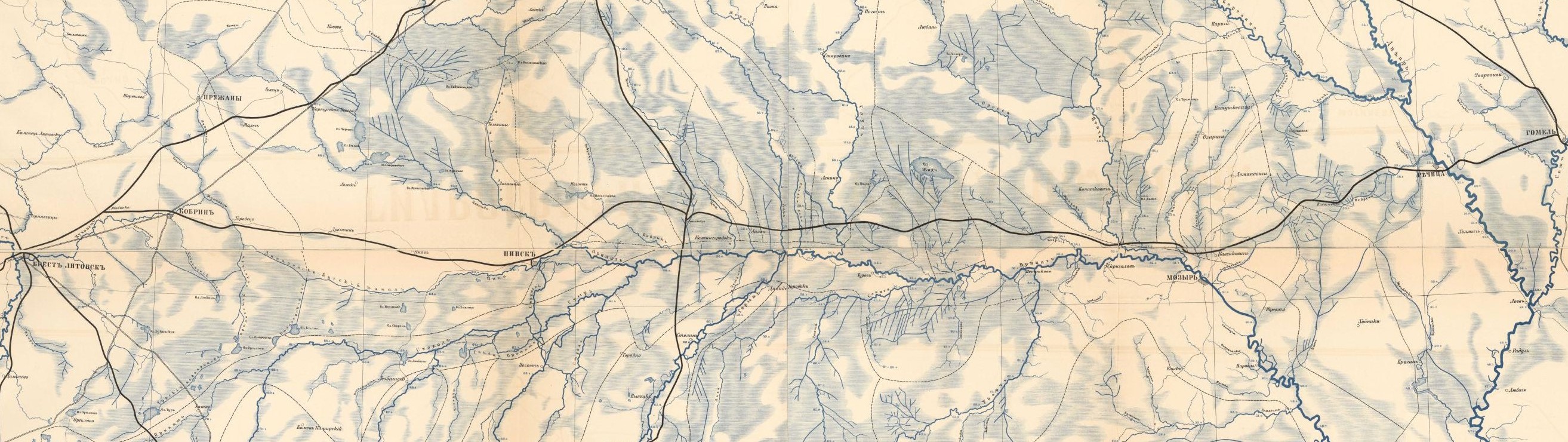
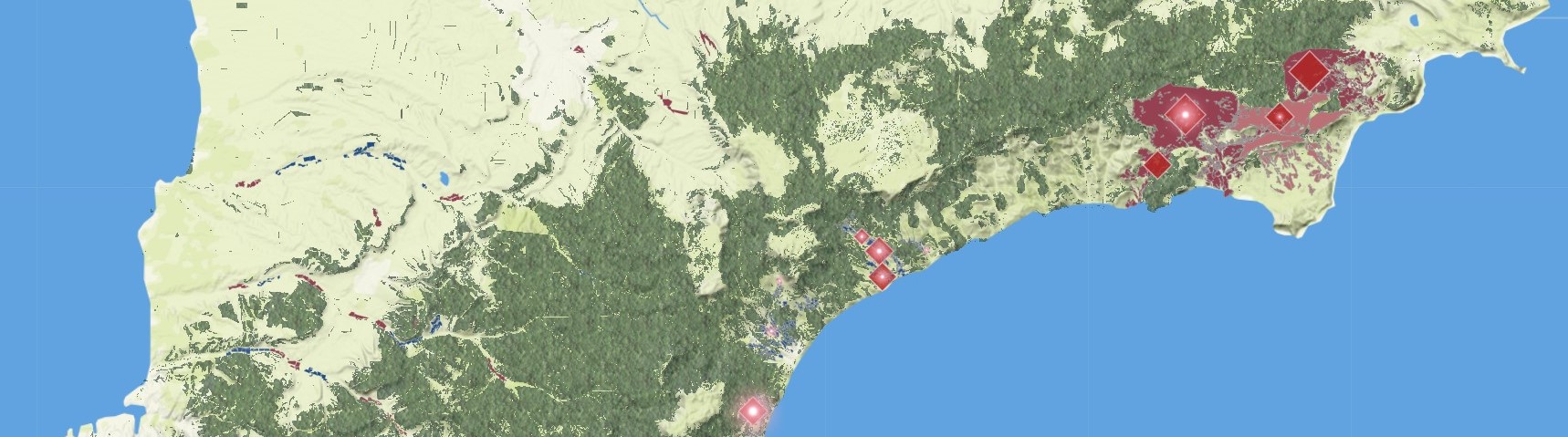
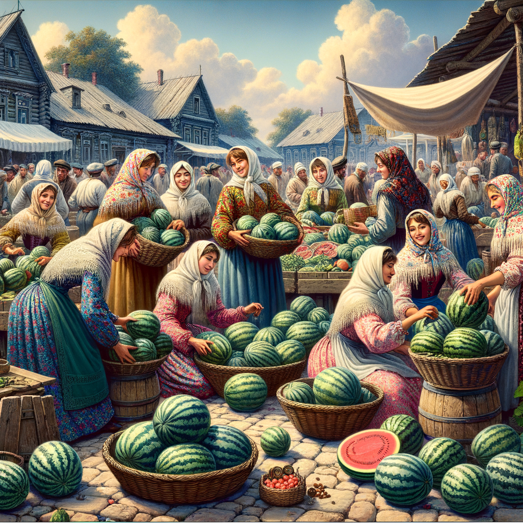
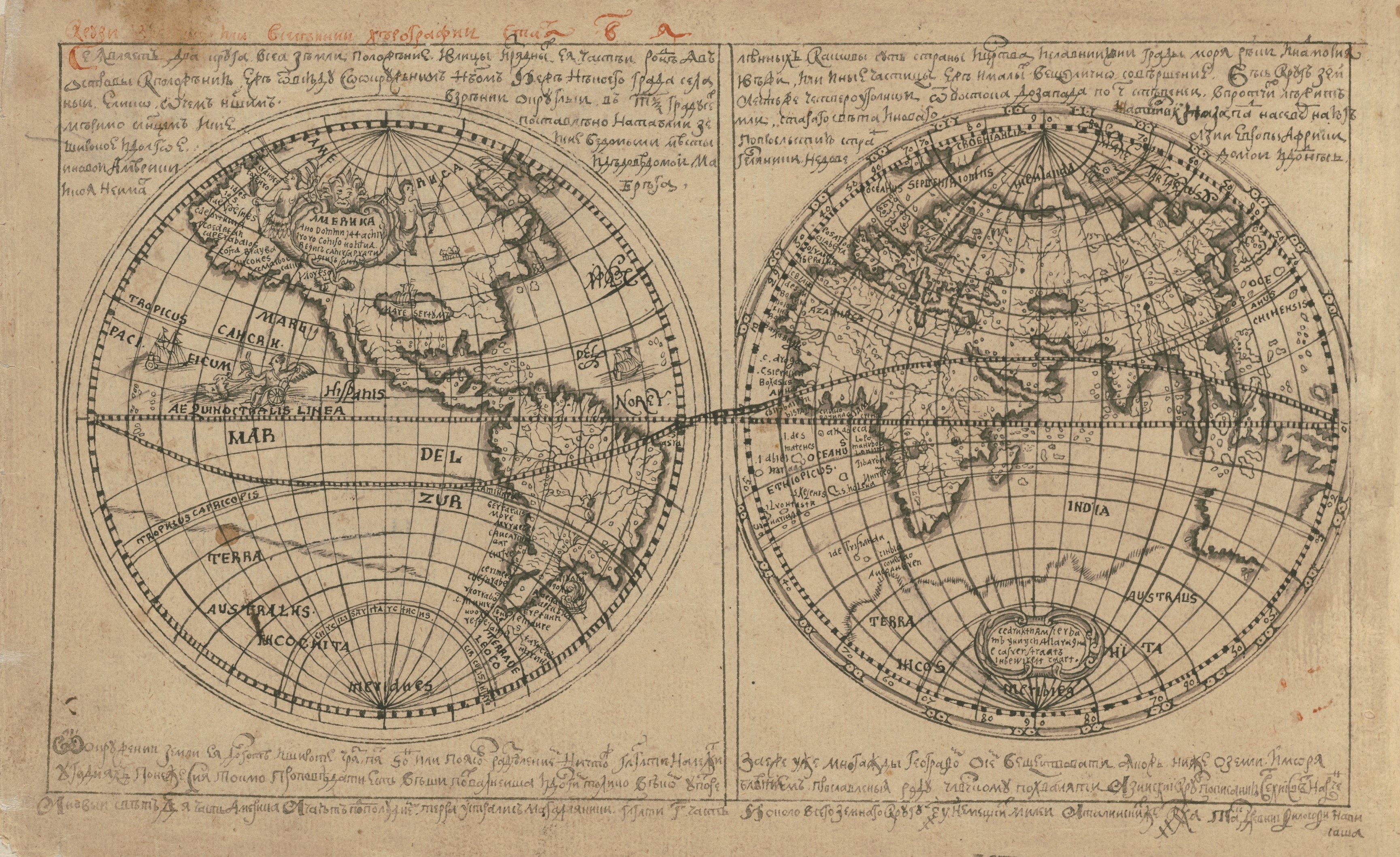
We love this question. It prompts historians to work in new ways, produce new knowledge, and build new communities. We believe it is hard to understand history without a good map, so we have made it our job to make as many good maps as possible.Our projects study the history of the Russian Empire which, when it collapsed in 1917, contained territory we now think of as the Russian Federation, Ukraine, Belarus, Estonia, Latvia, Lithuania, Finland, Poland, Moldova, Georgia, Armenia, Azerbaijan, Kyrgyzstan, Turkmenistan, Tajikistan, Uzbekistan, Kazakhstan. (Tsar Alexander II sold Alaska in 1867, otherwise the United States would be on that list as well.) We study the implications of distance and proximity, distribution and density, accessibility and isolation. We try to find new ways of navigating between the micro and macro scales of such a vast terrain. We try to identify commercial and cultural networks by tracing the movement of goods. We try to figure out where the rivers - and relics and orchards and pastures - used to be. Because if we can reconstruct the spatial structure of the past, perhaps we can better understand what "empire" meant in practice.
The Imperiia Project is a digital scholarship initiative of the Davis Center for Russian and Eurasian Studies. Find out more about our events, workshops, and other activities. The project has benefitted enormously from the support of the National Endowment for the Humanities, Harvard Library, and the Harvard Data Science Initiative.