The Imperiia ProjectMain MenuResearch Dashboardsmaps, visualizations, and moreVeles: The Data CatalogOngoing ProjectsThe MapMaker PodcastEvery story starts somewhere.Teach with MapsGalleriesKelly O'Neilldc20b45f1d74122ba0d654d19961d826c5a557f5The Imperiia Project // Davis Center for Russian and Eurasian Studies, Harvard University
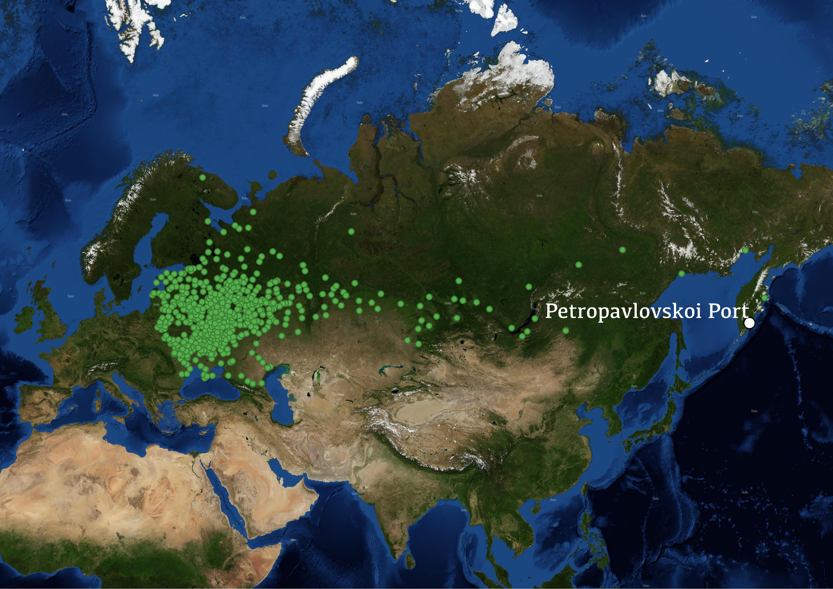
In the Russian Empire’s quest to expand and establish hegemony throughout the farthest northern reaches of the Asian continent, perhaps no city has thus farbeen as important as the port of Petropavlovsk, today known as Petropavlovsk-Kamchatsky. A strategic naval and commercial port, as well as the largest city in the Kamchatka Peninsula, its ‘Russian’ history began only in the latter half of the empire's existence. Though the city was claimed in the mid-eighteenth century, it was only granted official status as recently as 1812.
One of the most strikingly famous aspects of this city is its remarkable geography. Petropavlovsk Port was founded on the southern tip of the Kamchatka Peninsula, sandwiched between the Avacha Bay and the massive expanse of Pacific Ocean that extends all the way to North America. The city itself is surrounded on all sides by active volcanoes, to the point that no true horizon can be seen from any point in the center of the city, even though it is elevated substantially off of sea level. For Asian Russia, the climate is incredibly mild–– the city rarely sees temperatures in the negative Fahrenheit range. Each of these elements, as well as the city’s striking distance from Moscow and Saint Petersburg, has made the port one of the empires most fascinating settlements.
This page has paths:
12019-01-15T00:33:08-05:00Sierra Notaf8a0e746e4090d51d25e8b54a9b34c6e75e28237Petropavlovsk Port [Sierra]Sierra Nota1splash2019-01-15T03:48:42-05:00Sierra Notaf8a0e746e4090d51d25e8b54a9b34c6e75e28237