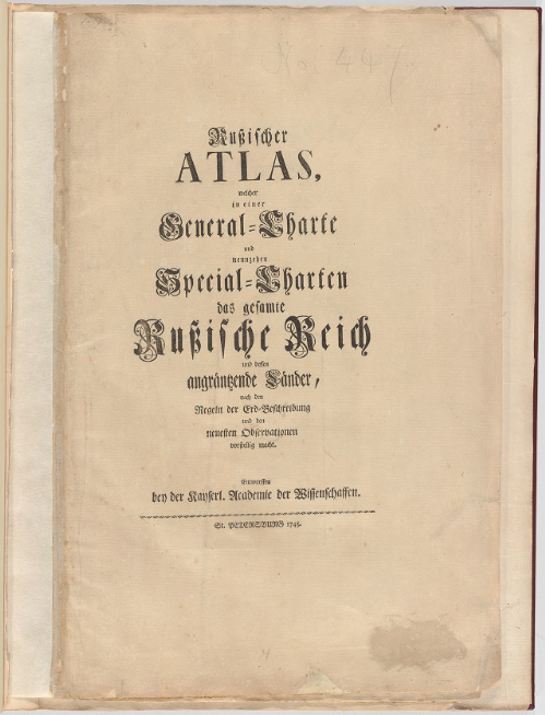
Atlas Russicus
Compiled under the direction of Joseph de L'Isle and published by the Academy of Sciences in 1745.
The atlas was issued in Latin and then in German, French, and Russian. It built on the work of Ivan Kirilov but, as Postnikov points out, it "brings together all the geographical discoveries of the early 18th century to give a fuller picture of the entire Empire than shown in the so-called Kirilov atlas. The maps were mostly based on instrumental surveys, geographical descriptions and maps compiled by the Petrine geologists and their successors."
Atlas contents:
- 7 pages of text with descriptions of the maps, and explanation of geographical names and symbols used in German, Russian, French and Latin
- a general map of the Russian empire
- 13 maps of European Russia at a uniform scale of 1:1,425,000
- 6 maps of Siberia at a uniform scale of 1:3,750,000