Deal: History through Playing Cards
In 1856, a hot new item hit the shelves in Russia: a set of playing cards. Created by Konstantin Matveevich Gribanov, the set had an impressive title:
Album of Geographical Playing Cards of Russia, arranged on 80 cards according to maritime basin (A wonderful and instructive child's game of patience)
As you can imagine, these were not ordinary playing cards. They were elaborately illustrated, beautifully-produced, and laden with pedagogical and ideological value. If you had money to spare and fancied yourself an educated, elite, or prestige-hungry subject of the tsar, you no doubt found a way to get your hands on a set.
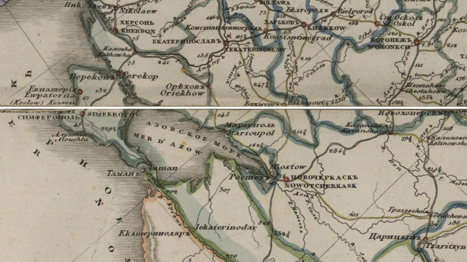
Playing cards of this kind were popular teaching tools in the nineteenth century. Imagine standing in your parlor (if you had the money to purchase the playing cards, you most likely had a parlor), thumbing through the set of texts and images describing the culture, history, economy, and geography of the provinces. It was like holding the empire in the palm of your hand.
Below you can work your way through the gallery of cards and a series of visualizations built on them. (There are 77 cards below. The 3 regional cards - representing the Caucasus, Grand Duchy of Finland, and the Kingdom of Poland - have been left out, but the provinces within those regions are included in the set. All information on the cards has been translated into English for the visualizations.)
Note: The cards were digitized as the "Geographic Card Set of the Russian Empire" by the Meeting of Frontiers project: a collaboration between the Library of Congress and the Russian National Library. They are available for noncommercial educational use.