Imperiia: a spatial history of the Russian EmpireMain MenuAboutProjectsDashboardsData CatalogMapStoriesGalleriesGamesWho said history was boring?Teach Our ContentCiting the ProjectKelly O'Neilldc20b45f1d74122ba0d654d19961d826c5a557f5The Imperiia Project // Davis Center for Russian and Eurasian Studies, Harvard University
Military-Topographical Survey of European Russia
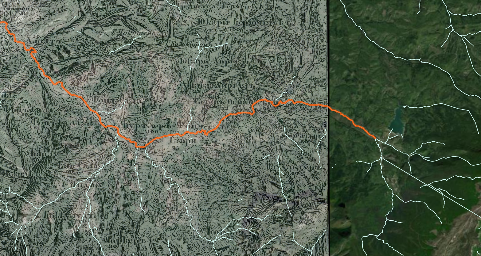
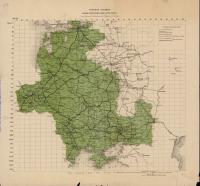
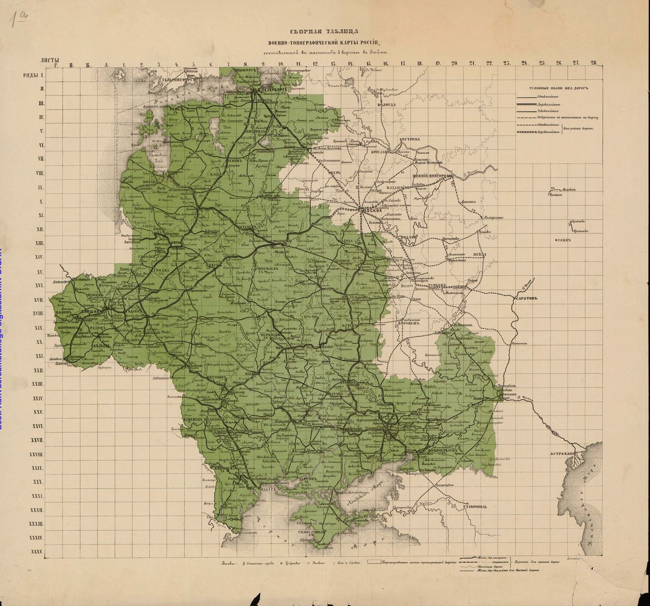
12018-11-15T23:30:10-05:00Kelly O'Neilldc20b45f1d74122ba0d654d19961d826c5a557f592plain2023-03-03T13:02:41-05:0001/01/1846 - 01/01/1880Kelly O'Neilldc20b45f1d74122ba0d654d19961d826c5a557f5The systematic topographical mapping(at the scale of 3-versts (2-miles) per inch)of the Russian Empire began in 1846. Though the main survey and cartographic work was completed by 1863, it remained an ongoing project through the Soviet period. Within that larger initiative, there were several smaller projects. One of those was the mapping of European Russia. The 509 maps produced as part of this series were oriented to the Pulkovo meridian (the longitude of the Pulkovo Observatory near St. Petersburg) and executed at a scale of 1:126,000 (1 centimeter = 1,260 meters). In other words, they are large-scale maps containing an astonishing amount of spatial information.
This page has paths:
12023-03-16T10:44:42-04:00Yipeng Zhoubaef370094247c455a6c8632f4ff98d54bc4c5eeTopoSKelly O'Neill33teaching machines to read (lots and lots of) mapsimage_header2024-03-11T10:39:14-04:00Kelly O'Neilldc20b45f1d74122ba0d654d19961d826c5a557f5
12018-11-15T23:33:31-05:00Kelly O'Neilldc20b45f1d74122ba0d654d19961d826c5a557f5Mapmaking: Projects and PursuitsKelly O'Neill6timeline2020-12-16T10:16:16-05:00Kelly O'Neilldc20b45f1d74122ba0d654d19961d826c5a557f5
Contents of this path:
12019-01-09T02:44:26-05:00Kelly O'Neilldc20b45f1d74122ba0d654d19961d826c5a557f5Description of an individual sheet1[Military topographical mapping of European Russia]plain2019-01-09T05:02:14-05:00Kelly O'Neilldc20b45f1d74122ba0d654d19961d826c5a557f5
12019-01-09T03:08:19-05:00Kelly O'Neilldc20b45f1d74122ba0d654d19961d826c5a557f5What can you learn from a 19th century topo map?1[Military-topographical survey of European Russia]plain2019-01-10T02:21:44-05:00Kelly O'Neilldc20b45f1d74122ba0d654d19961d826c5a557f5
.jpg)