Imperiia: a spatial history of the Russian EmpireMain MenuAboutProjectsDashboardsData CatalogMapStoriesGalleriesGamesWho said history was boring?Teach Our ContentCiting the ProjectKelly O'Neilldc20b45f1d74122ba0d654d19961d826c5a557f5The Imperiia Project // Davis Center for Russian and Eurasian Studies, Harvard University
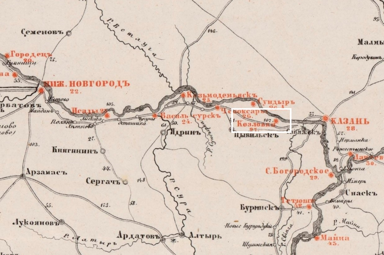
detail from the Samolet Volga route map (1862), with white rectangle locating Kozlovka
12020-12-11T12:49:36-05:00Kozlovka7a place from which another place is visibleplain2021-03-02T13:25:17-05:002021-03-02T13:2155.84284, 48.2492A place from which another place is visible. (In this case the towers and domes of Sviyazhsk.)