The Imperiia Project: a spatial history of the Russian EmpireMain MenuProjectsDashboardsData CatalogMapStoriesGalleriesGamesWho said history was boring?Teach Our ContentCiting the ProjectKelly O'Neilldc20b45f1d74122ba0d654d19961d826c5a557f5The Imperiia Project // Davis Center for Russian and Eurasian Studies, Harvard University
Keppen's map of the southern coast of Crimea
12019-03-27T05:39:03-04:00Kelly O'Neilldc20b45f1d74122ba0d654d19961d826c5a557f591image of source titleplain2019-03-27T05:39:03-04:00Kelly O'Neilldc20b45f1d74122ba0d654d19961d826c5a557f5
This page is referenced by:
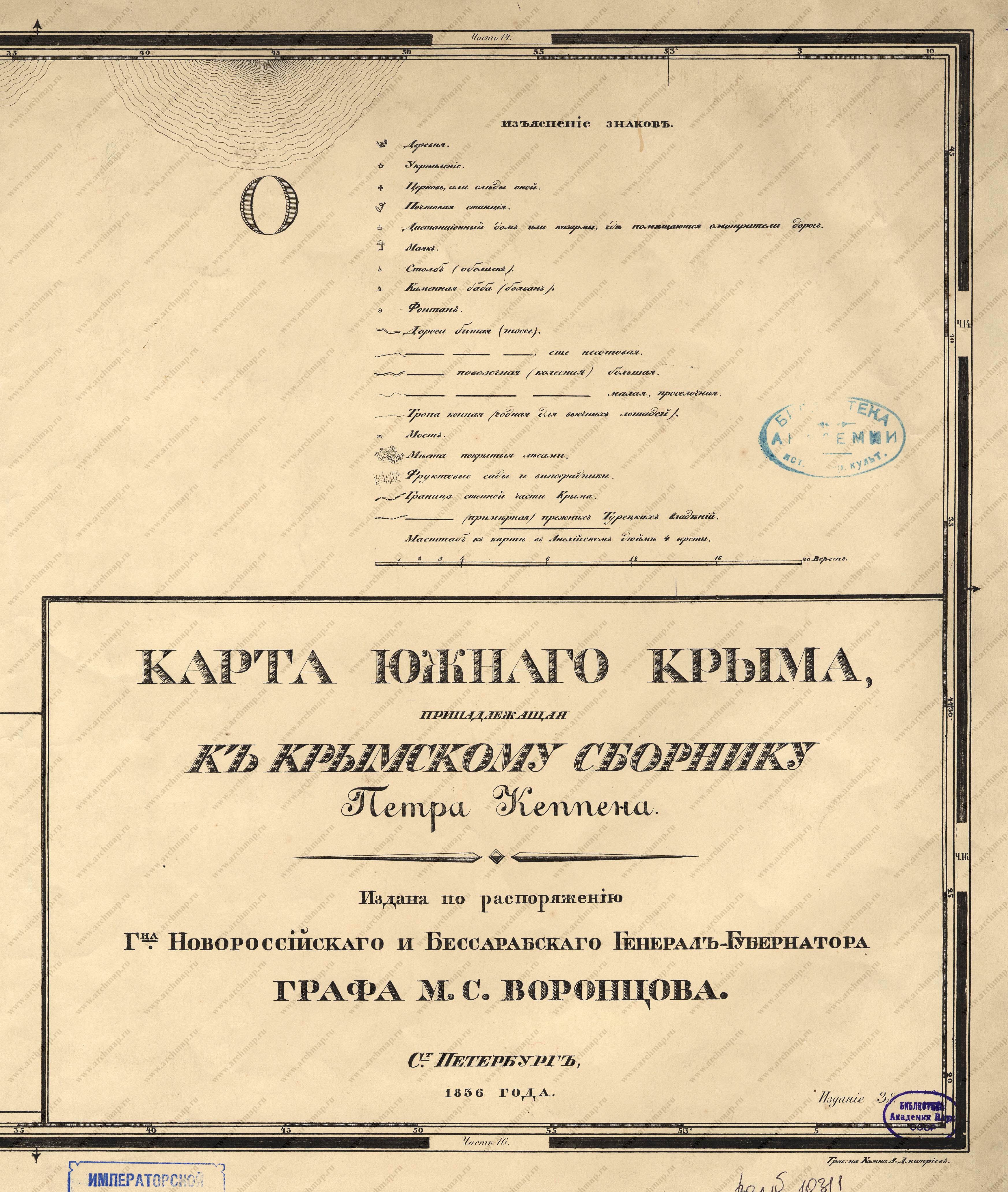
12019-03-27T05:28:48-04:00Map of Southern Crimea3source sketchplain2022-07-12T13:35:54-04:0001/01/1836Author: Petr Keppen Date: 1836
Originally published by the Governor-General of Novorossiia and Bessarabia, Count M. S. Vorontsov. Digital images made available by Sergei L'vovich Smekalov (archmap.ru).