This page was created by Drake Marshall.
Image 3: The City Vanquished
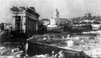
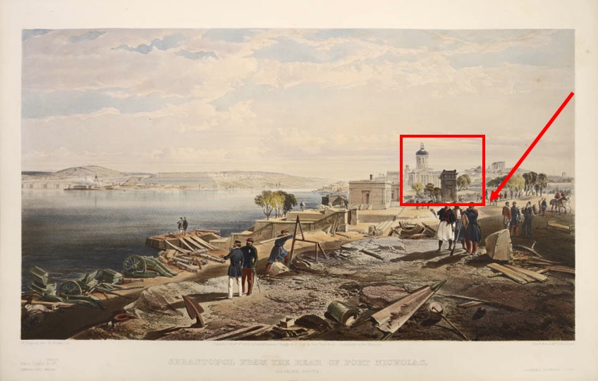
This is an illustration which depicts French and British officers standing amid the rubble of the newly-conquered Sevastopol. In the background we can see the Grecian structure as well as the dome of the admiralty building, allowing us to locate where the above photo was taken in its larger context.
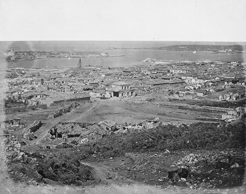
This is another image taken after the fall of Sevastopol. It is take from atop the Malakoff Redoubt. With this point of view it is clear why the Russian forces chose to withdraw, having lost this position of high ground to the French. The damage which resulted from the siege and its aftermath is clearly evident.
Image 1: “sevastopol_4_1.jpg (627×328).” Accessed March 21, 2018. http://sevastopol-geroi.esy.es/wp-content/uploads/2014/12/sevastopol_4_1.jpg.
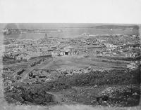
Image 2: Simpson, William. The Seat of War in the East. London: Paul and Dominic Colnaghi and Co., 1855. "Sevastopol from the Rear of Fort Nicholas"
Image 3: “CRIMEAN WAR 1854-56 | Imperial War Museums.” Accessed March 21, 2018. https://www.iwm.org.uk/collections/item/object/205061948?cat=photographs.