This page was created by Cara Jacobson. The last update was by Kelly O'Neill.
Herzen's Journal Continued
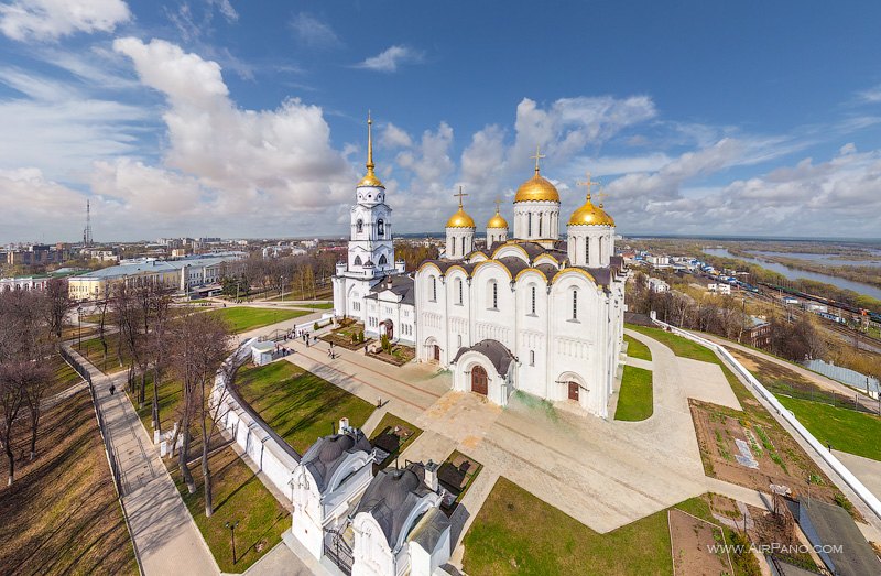
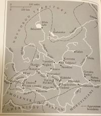
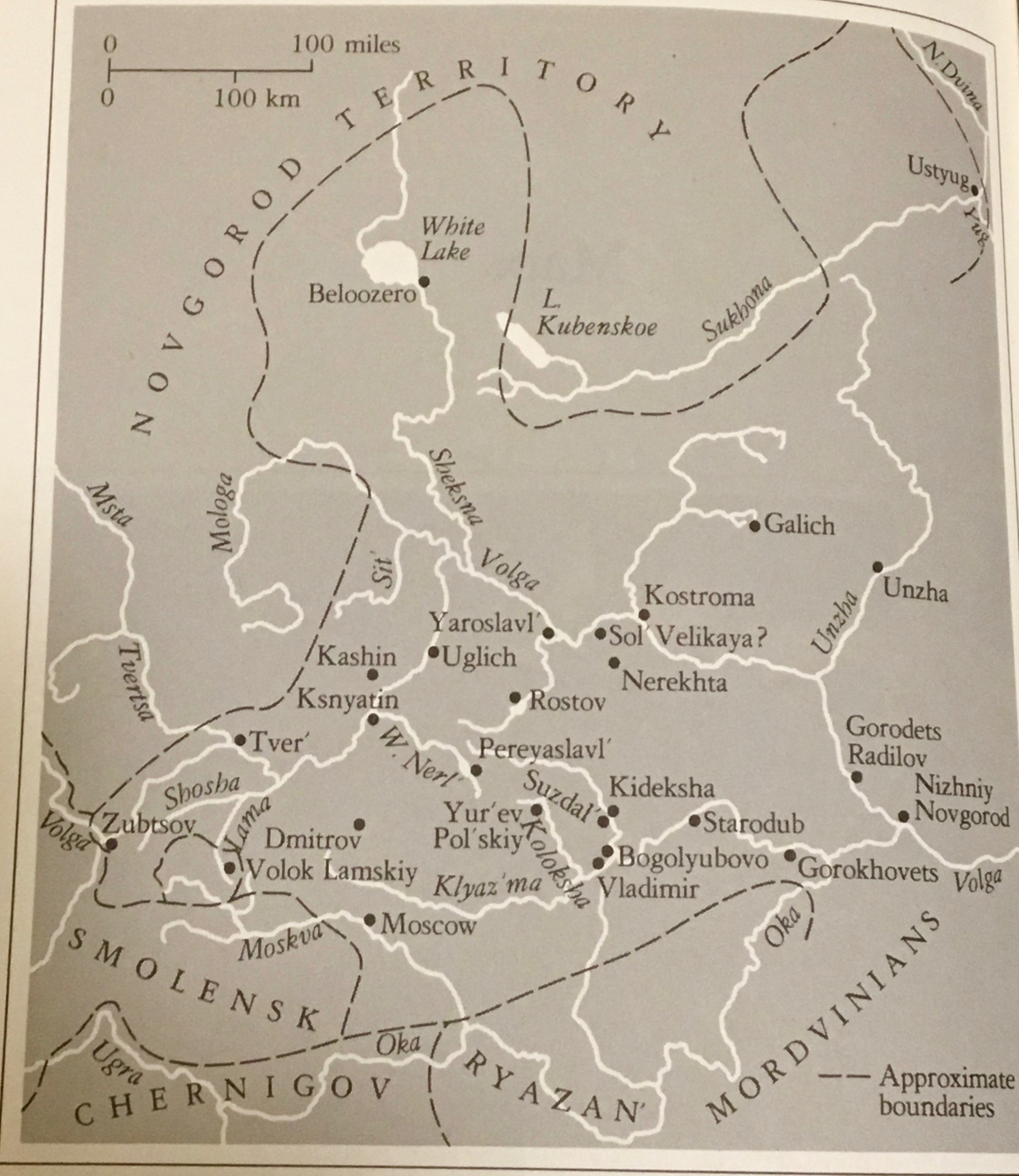
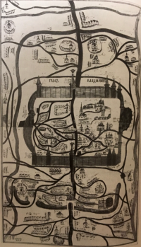
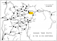
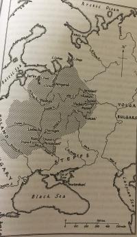
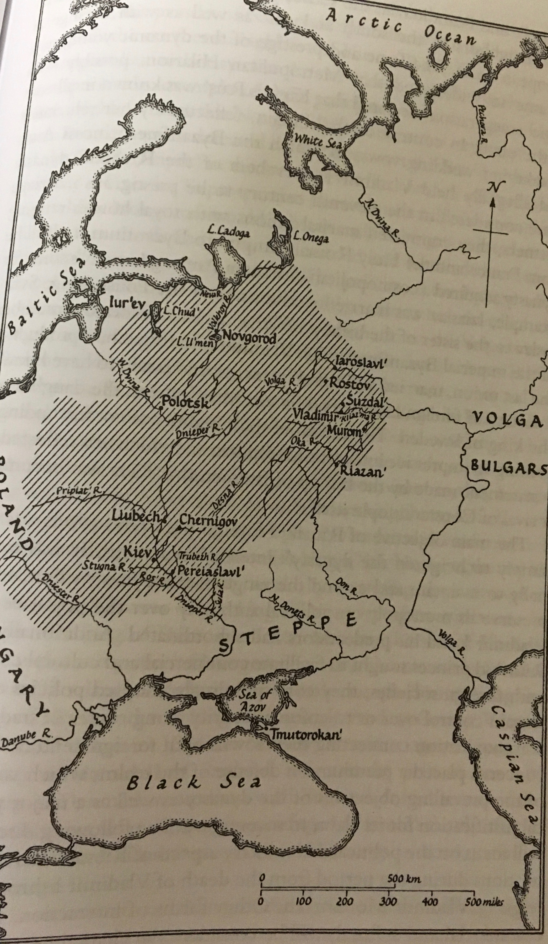
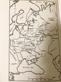
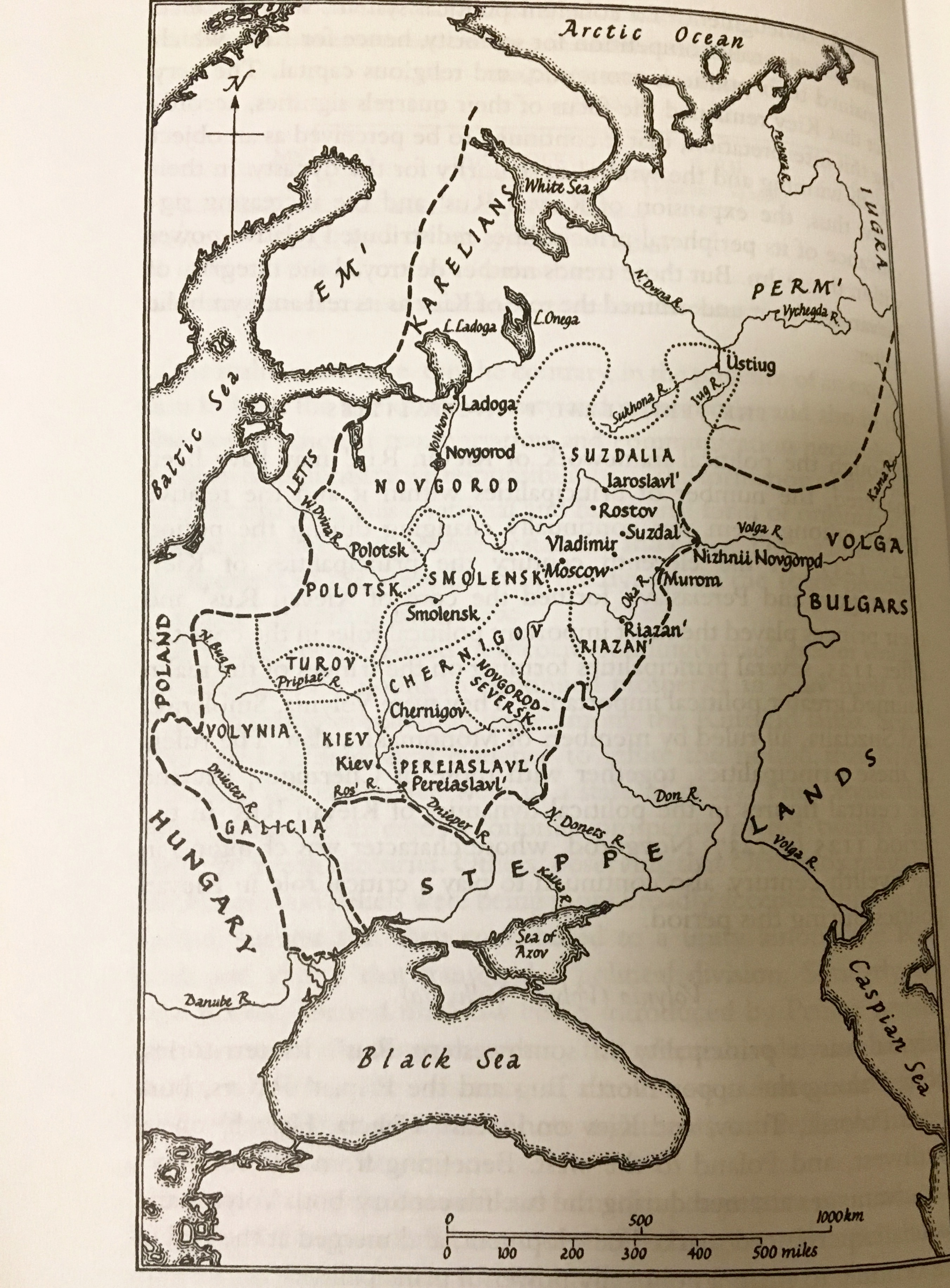
Other maps included Kievan Rus' in the eleventh century, Kievan Rus' in the twelfth-early thirteenth centuries, Suzdalia in the thirteenth century and a map of Vladimir in 1715.