Imperiia: a spatial history of the Russian EmpireMain MenuAboutProjectsDashboardsMapStoriesGalleriesGamesWho said history was boring?Teach Our ContentCiting the ProjectKelly O'Neilldc20b45f1d74122ba0d654d19961d826c5a557f5The Imperiia Project // Davis Center for Russian and Eurasian Studies, Harvard University
Data security. Data-driven decisions. Data mining. Data science. Big data...
You get the idea: data is everywhere. You consume it, you produce it. But what is it, really? According to the Oxford English Dictionary, we use the word "data" to describe related items of (chiefly numerical) information considered collectively, typically obtained by scientific work and used for reference, analysis, or calculation.
That may or may not resonate with you. Maybe you think of data as structured information. Maybe you think of it as magic or the ultimate source of power in the modern world. However you define it, you will most likely agree that data is a valuable commodity. The better the quality, and the harder it is to obtain, the more it is worth.
Archives and libraries are filled with related items of information, but converting the documentary record of the human past into data that is both usable and meaningful requires labor and expertise (and a lot of coffee).
That is where we come in.
We provide freely-accessible, well-documented, utterly fascinating data about the world that was once the Russian Empire to a primarily English-speaking audience. Why do such a thing? It's simple. Our goal is to lower the barrier for spatial analysis so that students, scholars, and members of the public can connect the tsarist past with today's technology.
If you find yourself making use of our datasets, or have ideas for a new one, we would love to hear about it. Email imperiia@fas.harvard.edu or hit us up on Twitter @ImperiiaProject.
Browse the Catalog
New datasets are published on Dataverse every other Friday, beginning May 13, 2022.
Contents of this path:
12022-05-06T15:50:49-04:00Kelly O'Neilldc20b45f1d74122ba0d654d19961d826c5a557f5V01. History through Playing Cards31Explore ethnic, economic, and geographic variation on the cusp of the Great Reforms!plain2022-08-08T10:28:01-04:00Kelly O'Neilldc20b45f1d74122ba0d654d19961d826c5a557f5
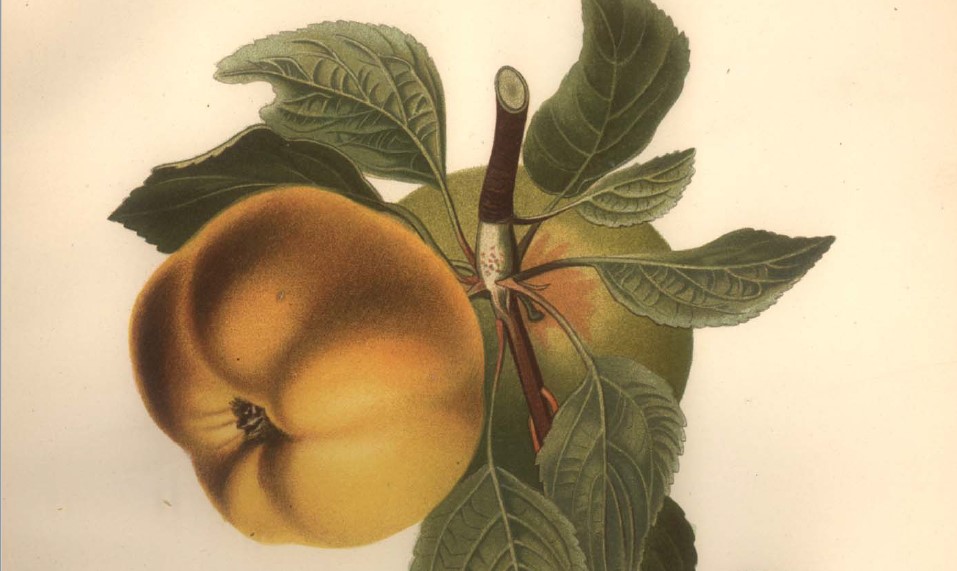
12022-05-06T15:54:15-04:00Kelly O'Neilldc20b45f1d74122ba0d654d19961d826c5a557f5V02. Gardens of Crimea38Immerse yourself in the work of botanists and bureaucrats who nurtured an obsession with fruit treesplain2022-08-11T14:25:31-04:00Kelly O'Neilldc20b45f1d74122ba0d654d19961d826c5a557f5
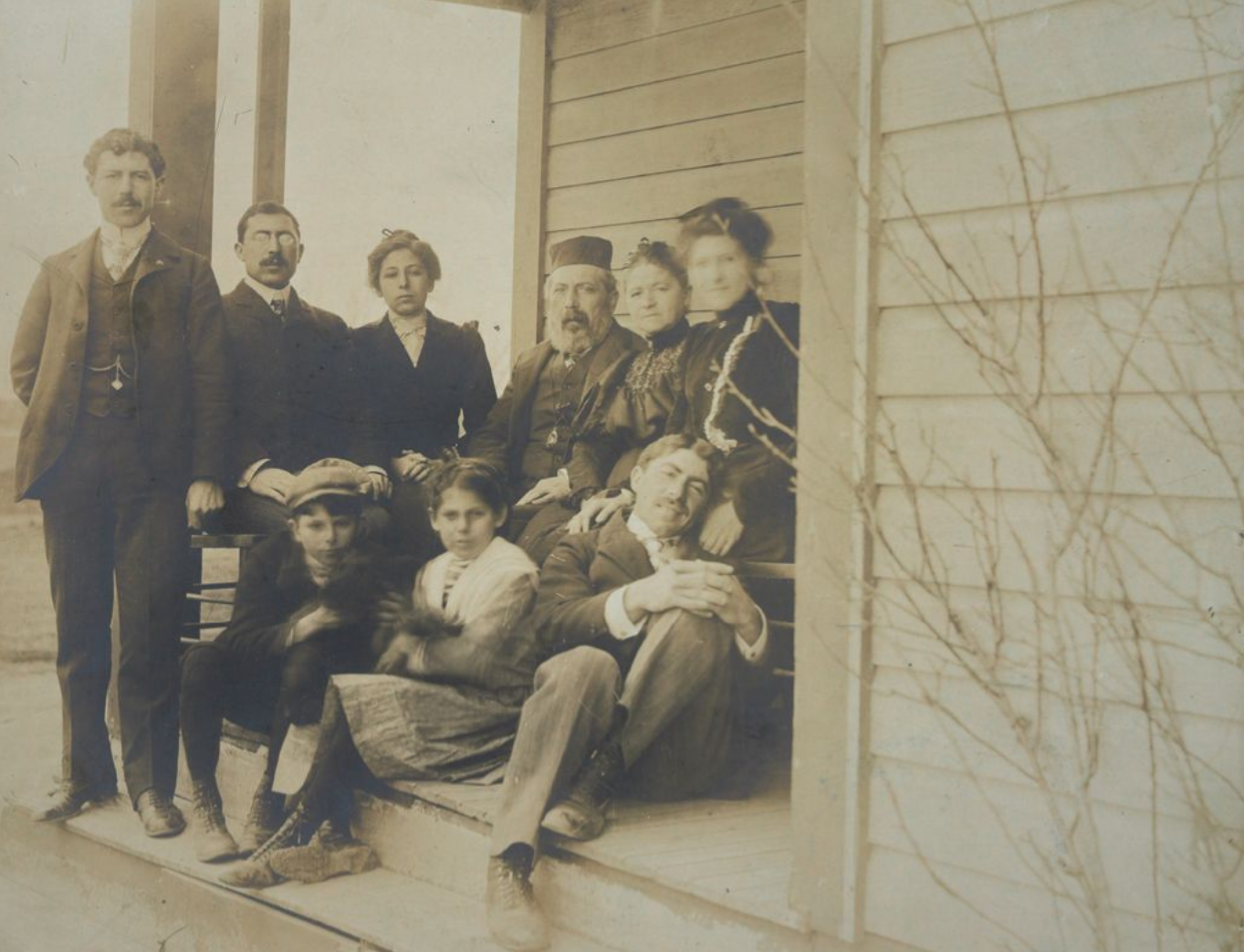
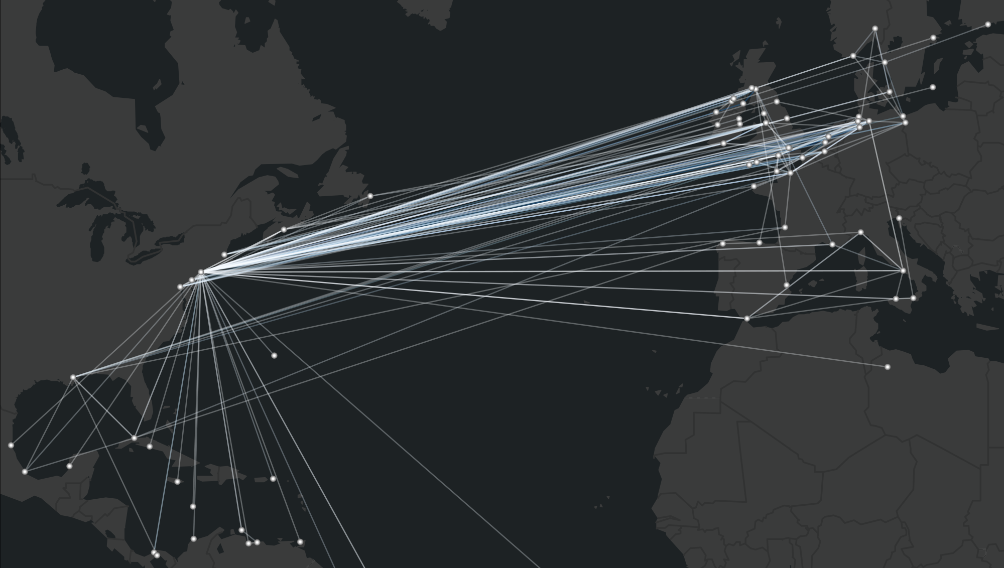
12023-03-16T10:02:01-04:00Yipeng Zhoubaef370094247c455a6c8632f4ff98d54bc4c5eeV03. The Tsar's Trans-Atlantic Voyagers24Explore the social history of tsarist migration with passenger records from American ports.plain2023-03-29T16:35:14-04:00Kelly O'Neilldc20b45f1d74122ba0d654d19961d826c5a557f5
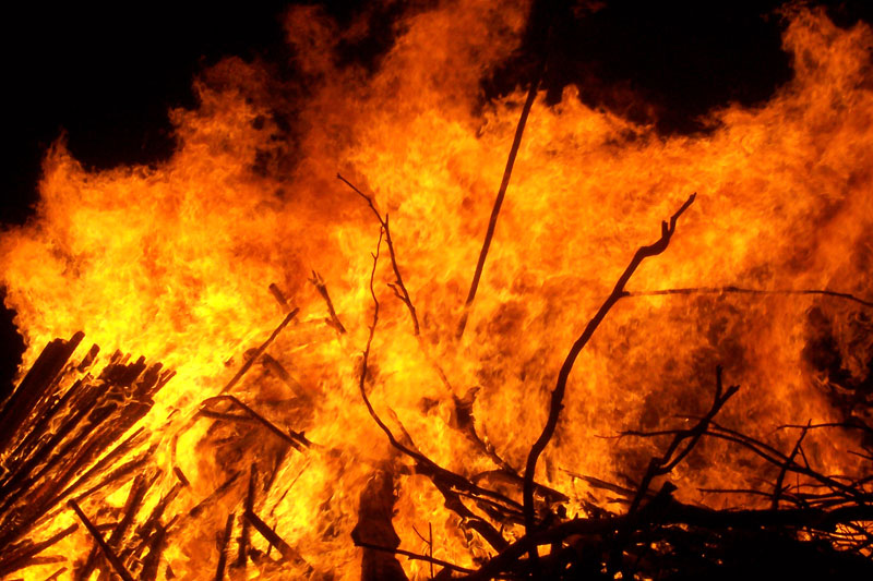
12022-05-06T15:48:43-04:00Kelly O'Neilldc20b45f1d74122ba0d654d19961d826c5a557f5V04. Fire Data11Coming soonplain2023-05-15T12:55:47-04:00Kelly O'Neilldc20b45f1d74122ba0d654d19961d826c5a557f5
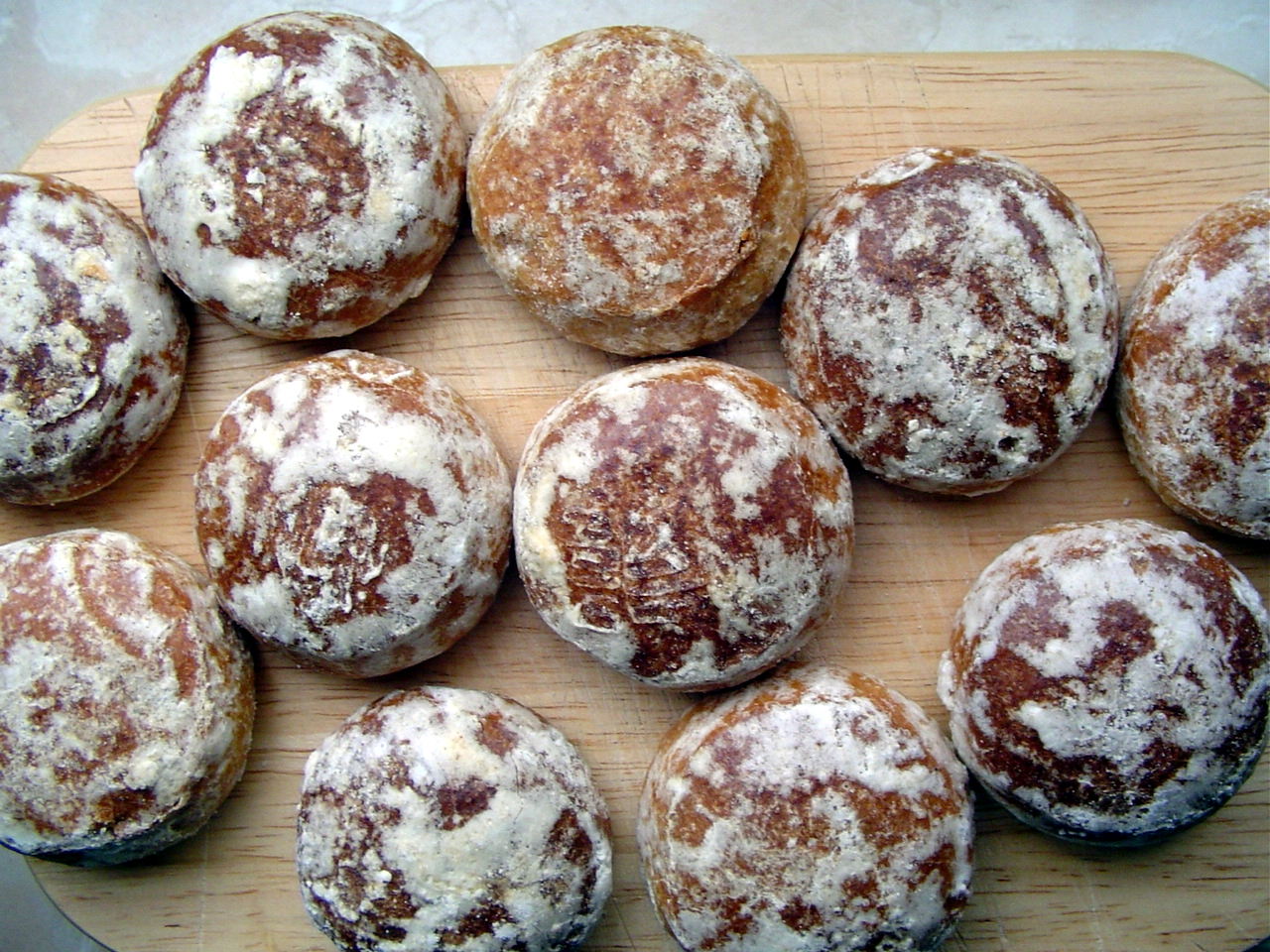
12022-05-06T15:56:43-04:00Kelly O'Neilldc20b45f1d74122ba0d654d19961d826c5a557f5V05. Sweet Things: Confectioners and Chocolatiers17Coming soonplain2023-03-23T10:08:55-04:00Yipeng Zhoubaef370094247c455a6c8632f4ff98d54bc4c5ee
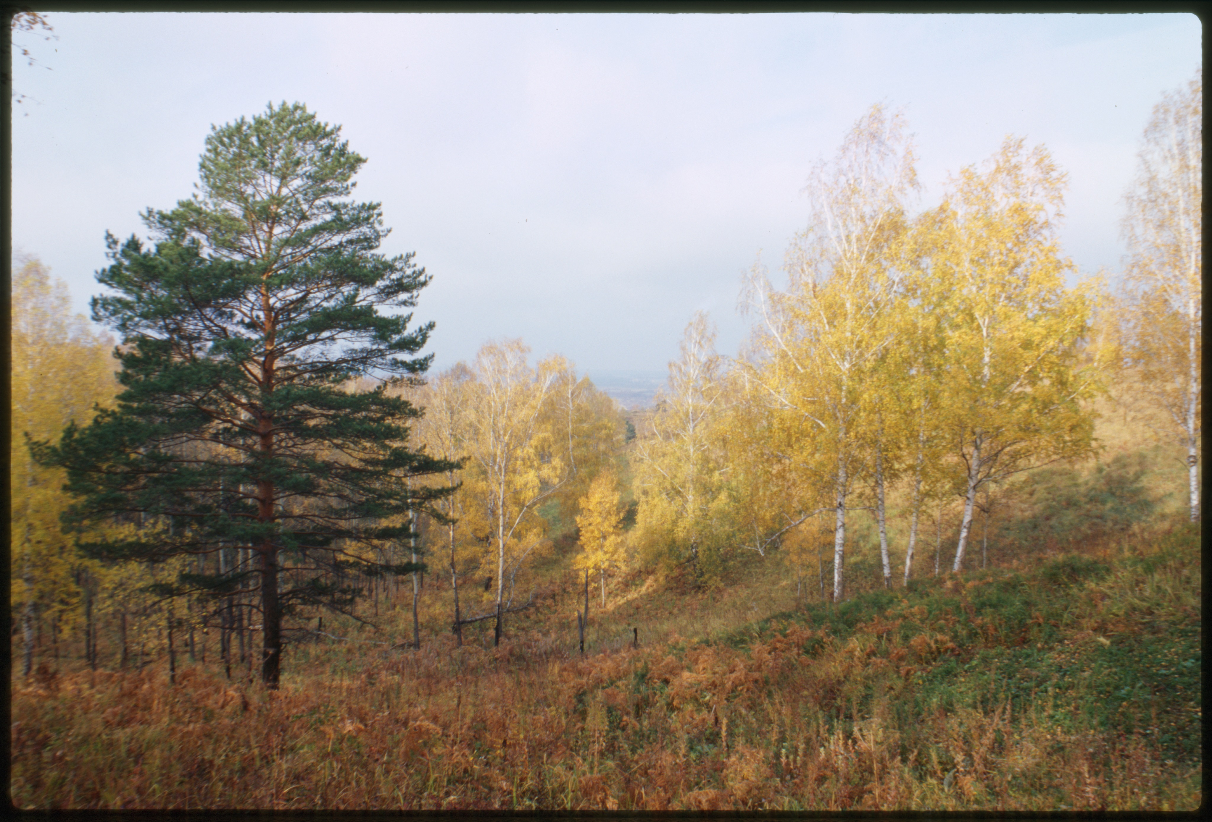
12022-05-16T14:49:11-04:00Kelly O'Neilldc20b45f1d74122ba0d654d19961d826c5a557f5V06. Woodlands: Forest Cover in European Russia12Coming soonplain2023-03-23T10:08:22-04:00Yipeng Zhoubaef370094247c455a6c8632f4ff98d54bc4c5ee