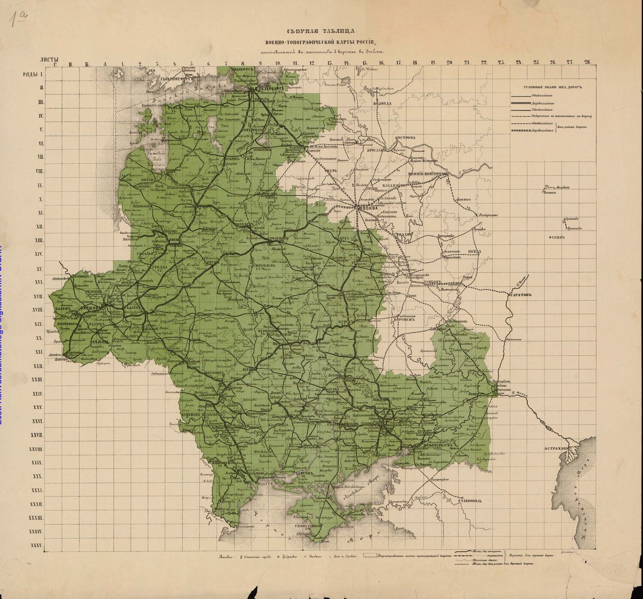
What can you learn from a 19th century topo map?
- Settlements (towns, villages, khutors), often with the number of households designated in numerals. Names of settlements with less than 20 households are italicized. Previous toponyms listed in parenthesis on occasion.
- Buildings
- Factories (type of factory designated in abbreviation)
- Wells
- Shoreline contours
- Rivers, streams, brooks: shoals, rapids,
- Bridges, fords
- Places of worship, Cemeteries
- Elevation (hachures)
- Mounds
- Land use: forests, bushes, marshes, salt mines
- Windmills