Imperiia: a spatial history of the Russian EmpireMain MenuAboutProjectsDashboardsData CatalogMapStoriesGalleriesGamesWho said history was boring?Teach Our ContentCiting the ProjectKelly O'Neilldc20b45f1d74122ba0d654d19961d826c5a557f5The Imperiia Project // Davis Center for Russian and Eurasian Studies, Harvard University
Batraki
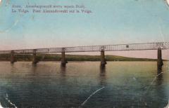
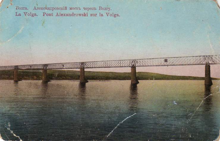
12021-01-29T11:20:41-05:00Kelly O'Neilldc20b45f1d74122ba0d654d19961d826c5a557f5912Baedeker locationplain2021-02-02T13:48:58-05:0053.16722, 48.70056Kelly O'Neilldc20b45f1d74122ba0d654d19961d826c5a557f5This was an impressive sight. Postcard worthy. A railway bridge spanning the longest river in Europe.
As we passed underneath I crept along the deck, holding the rail, not looking away from the engineered span of iron above my head.
This page has paths:
12020-11-25T14:52:30-05:00Kelly O'Neilldc20b45f1d74122ba0d654d19961d826c5a557f5Route 45. Voyage down the Volga from Tver to SuizranKelly O'Neill77Baedeker itinerarygoogle_maps2021-01-29T15:32:22-05:00Kelly O'Neilldc20b45f1d74122ba0d654d19961d826c5a557f5