Imperiia: a spatial history of the Russian EmpireMain MenuAboutProjectsDashboardsData CatalogMapStoriesGalleriesGamesWho said history was boring?Teach Our ContentCiting the ProjectKelly O'Neilldc20b45f1d74122ba0d654d19961d826c5a557f5The Imperiia Project // Davis Center for Russian and Eurasian Studies, Harvard University
Avgustov Province
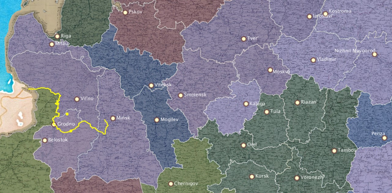
12020-08-17T16:53:17-04:00Kelly O'Neilldc20b45f1d74122ba0d654d19961d826c5a557f594geographic playing cardplain2020-08-18T10:26:52-04:0054.11175, 22.93087Kelly O'Neilldc20b45f1d74122ba0d654d19961d826c5a557f5(Avgustovskaia guberniia)
Provincial town: Suvalki Area (sq miles): 6,841 Population: 547,319 Population density: 80 people per square mile Cities: 6 Trade note: Trade is rather active. Climate note: cold
Notable features: no notation
This page has paths:
12020-08-25T22:43:32-04:00Kelly O'Neilldc20b45f1d74122ba0d654d19961d826c5a557f5Provinces, A to ZKelly O'Neill13flip bookplain95992022-02-14T12:49:02-05:00Kelly O'Neilldc20b45f1d74122ba0d654d19961d826c5a557f5
12020-08-16T23:07:24-04:00Avgustov Province1Item in the set of geographic playing cards produced in Russia in 1856. These were elaborately illustrated, beautifully-produced playing cards laden with pedagogical and ideological value. There is one card for each province of the Russian Empire.plain2020-08-16T23:07:24-04:001865LoC_RussianGeogCards3.jpg
_Russian_style_1911_original.jpg)